Steens Mountain (photo credit: Bureau of Land Management)
Where do you hide 15.7 million acres of land within the state of Oregon’s 61 million acres??? And if you were to find those 15.7 million acres, what remarkable landscapes and features would you find on those properties? One quarter of Oregon is overseen by the Interior Department’s Bureau of Land Management (BLM). These lands are well-known to loggers, OHV enthusiasts, and ranchers in Oregon, but they are not well known to many hikers, backpackers, paddlers, and wildlife watchers. BLM lands in Oregon possess some of the hidden natural area gems across the state.
On the moist, west side of the Cascade mountains lie patches of old growth Douglas-fir forests and the remnants of large scale logging operations in the coast mountains and Cascade foothills. The Yaquina Head Outstanding Natural Area along the coast near Newport has amazing tide pools, crashing surf, and Oregon’s tallest standing lighthouse that began operations in 1873.
Across the state in the very dry, southeast corner there are two volcanic fields including one which has one of the youngest lava flows in the state. Jordan Craters Wilderness Study area has a flow which is possibly one hundred-years-old. The Diamond Craters Outstanding Natural Area is near the Malheur National Wildlife Refuge and features a stunning array of volcanic cones, flows, giant volcanic bombs, and an array of other remarkable geologic creations.
And then there are rivers… The Grande Ronde, Owyhee, Rogue, Crooked, Deschutes, John Day, and Molalla Rivers all slice through canyons governed by the BLM providing rafters, campers, fisherfolk and kayakers amazing streams to recreate within. The BLM manages dozens of campgrounds along these streams and works to manage the usage by a growing number of recreation users. I have seen bighorn sheep, moose, bears, cougar, elk, and otters along these remote watercourses.
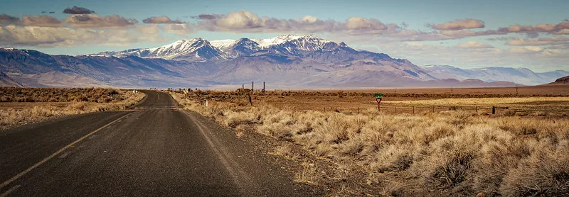
There are established wilderness areas in Oregon on BLM and millions of acres of wilderness study areas as well. Table Rock, near Mollala, Oregon is a forested westside wilderness and was the first BLM wilderness area recognized in the state. The huckleberries and wildflowers are a major attraction. The Spring Basin area along the John Day River is a steep area of ridges and drainages topped by prickly pear cactus and views of the river carving cliffs of basalt while the waters surge towards the Columbia and the sea. The wildflower blooms in those hills are a spring spectacular! Steens Mountain has a wilderness area capping the mountain ridge and glacial carved canyons in southeast Oregon. Wild horses frequent its slopes along with bighorn sheep.
There are 89 BLM designated wilderness study areas in Oregon currently featuring river chasms, rolling sagebrush hills, mountain ranges, and dramatic volcanic formations. Campgrounds like Alsea Falls, Slocum Creek, and the dispersed camping areas along the edges of the Alvord Desert provide areas to enjoy the forests and landscapes of some of this states most amazing natural features. You can check out all the BLM natural areas and attractions near you using the the BLM Recreational Web Map.