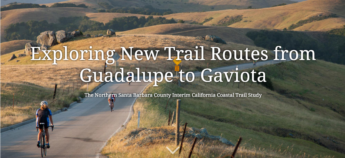
The dream of completing the California Coastal Trail from Gaviota to Guadalupe is taking a temporary detour for an interim route, which is available for public review via an “online story map”.
The route seems particularly suited for bike riders, but there’s plenty of opportunity for hikers and there’s even an opportunity for people in other areas to get on the trail via train.
The study identifies routing for an interim (or secondary) Coastal Trail to fill the gap across northern Santa Barbara County until a truly Coastal Trail is secured. The Santa Barbara Trails Council has prepared this study for the SB County Association of Governments (SBCAG) to aid in identifying safety improvements and funding for the trail route and future Coastal Trail improvements. You can help in this effort via its website: www.SBTrails.org
The draft coastal trail story map is now available for public review. It’s a site full of photos and points of interest, starting from the north at Guadalupe you scroll down southward until you get to Gaviota State park. Experience it here: https://arcg.is/0v5PTS
To learn more, go to the project website at: www.bit.ly/ct-route
The primary objective of the study is to identify alignments for a continuous trail from Guadalupe to Gaviota. Due to existing constraints along the coast, this proposed trail alignment is located primarily within road corridor rights of way and on public land. But the study also identifies spur routes to beaches, open spaces, and other points of interest as well as describing improvements and action items to improve coastal access and recreation in the North County. The study area is from the City of Guadalupe to the beach at Gaviota State Park.
The California Coastal Act of 1972 included the creation of a continuous California Coastal Trail (CCT) to extend 1,200 miles between Oregon to Mexican borders. Statewide, about 60% of the trail has been completed. While progress is being made on the CCT in southern Santa Barbara County, little trail planning progress has occurred in the northern part due to the large expanse of private rangeland and Vandenberg Air Force Base facing most of the north county coastline.
The absence of a planned coastal trail in that area has stymied access to the CCT from the northern part of SB County, so SBCAG has initiated this study to engage the public in planning for a continuous interim CCT that utilizes existing road rights-of-way, public lands and identifies spurs to access coastal locations such as Point Sal, Guadalupe Dunes, Jalama and Ocean beaches, among many others.
