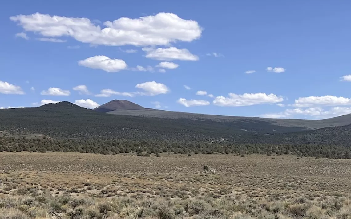
This is a view of the northern end of the Lodestar claim area. The photo was taken from the Lucky Boy Pass Road.
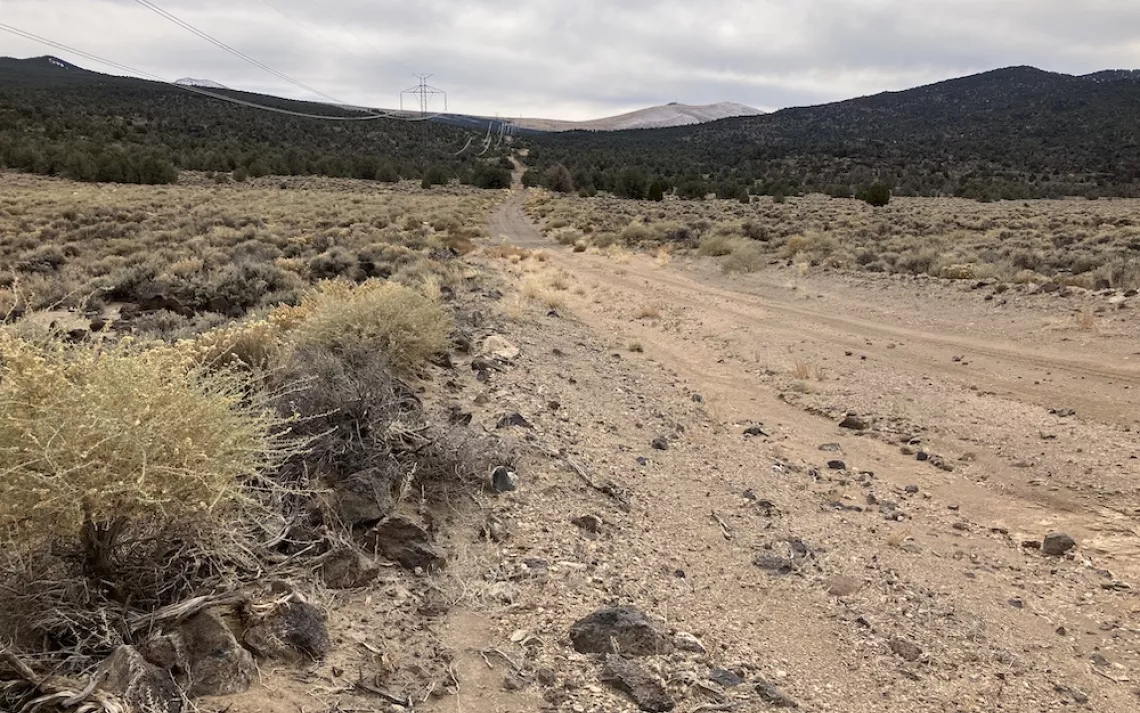
Looking down the powerline road from the northern end of the Lodestar project area next to the Lodestar sinter target area. The powerline road cuts through the Lodestar project area.
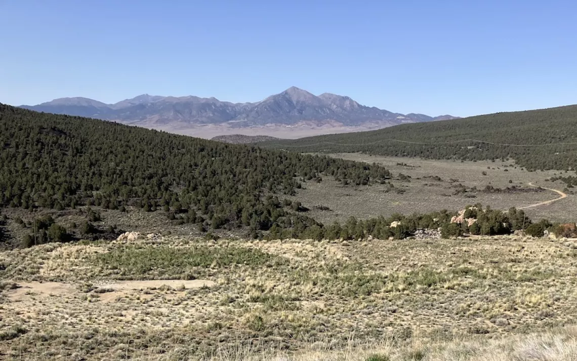
View of the Lodestar project area from the southern end. The Lodestar gold exploration area includes the east slope of the Aurora Crater (on the left), the sagebrush valley (in the middle), and the north slope of Mt. Hicks (on the right). Corey Peak in the Wassuk Range is in the distance. Much of the area covered in pinyon trees is in USFS Inventoried Roadless Areas. Part of the sagebrush area is too. Headwater Gold is planning to drill at 43 sites in this area under a categorical exclusion. The NEPA scoping notice is expected to be released in November 2024.
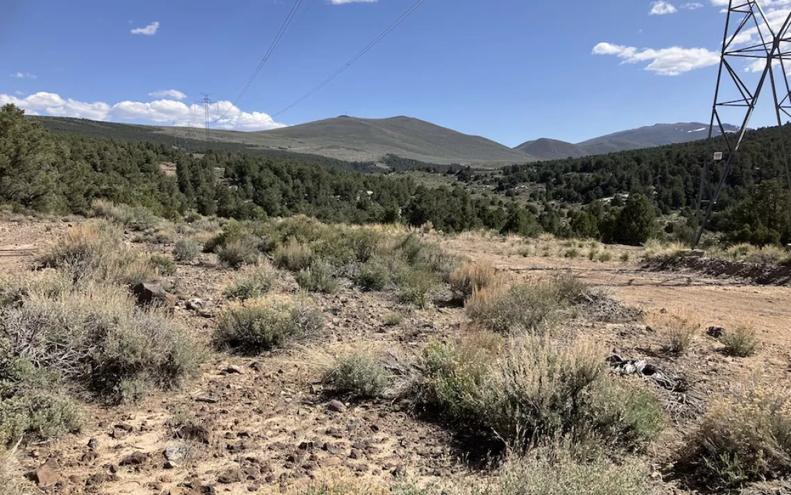
This is a view of the Lodestar claim area from the middle of the claim area looking southwest towards Mt. Hicks. The claim area does not extend past the pinyon woodland.
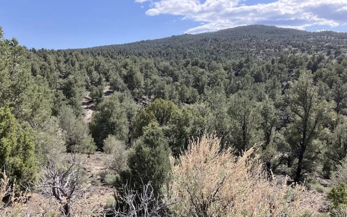
The area is densely covered in old pinyon trees. The view is looking into the Inventoried Roadless Area.

The pinyon trees are ladened with pinyon pine cones, a food source for wildlife and the Tribes. This area is an old pinyon woodland. Pinyons came to the Bodie Hills, expanding from south to north, about 5,000 years ago.

The Lodestar claim area extends to the south end of the Aurora Crater, to the right of the burned area of the Lucky Fire. The Lucky Fire was a human-caused wildfire on the southwest slopes of the Aurora Crater above the Aurora/Esmeralda Mine in July 2023. Photo was taken from an old cyanide heap-leached tailings pile that was reclaimed. It seems to have been seeded primarily with Great Basin wildrye.
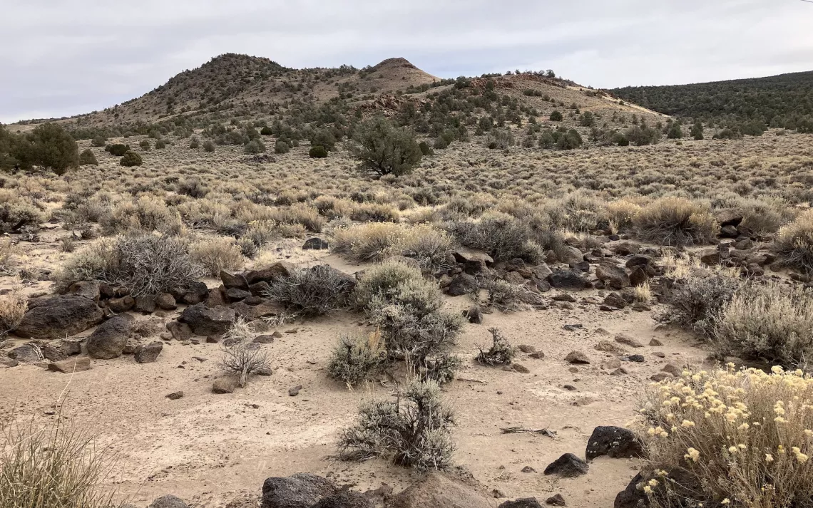
This hill is the primary target area for the Lodestar project. It is a sinter which is where there was an ancient hot spring that brought microscopic gold to the surface from a possible gold vein down below.
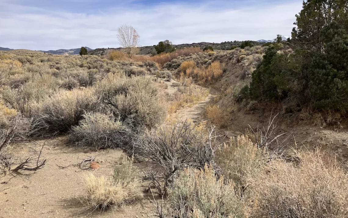
Mud Spring along Mud Creek is near the Lodestar project area. It is a pretty area with willows and greasewood shrubs. The greasewood indicates a high water table.
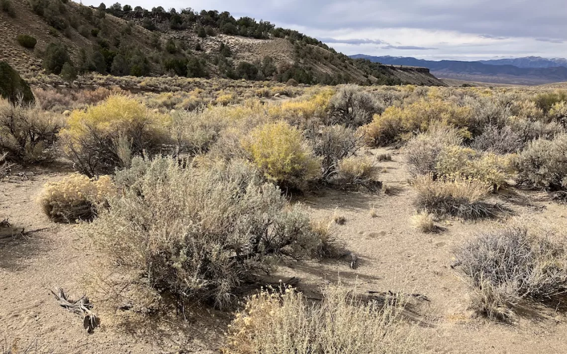
The cliff runs along Mud Creek and makes a striking and lovely landscape. The bright yellow-green shrubs are greasewood. The plateau on top of the cliff is the northern end of the Lodestar project area. The sinter target area is about 1.5 miles from the spring..