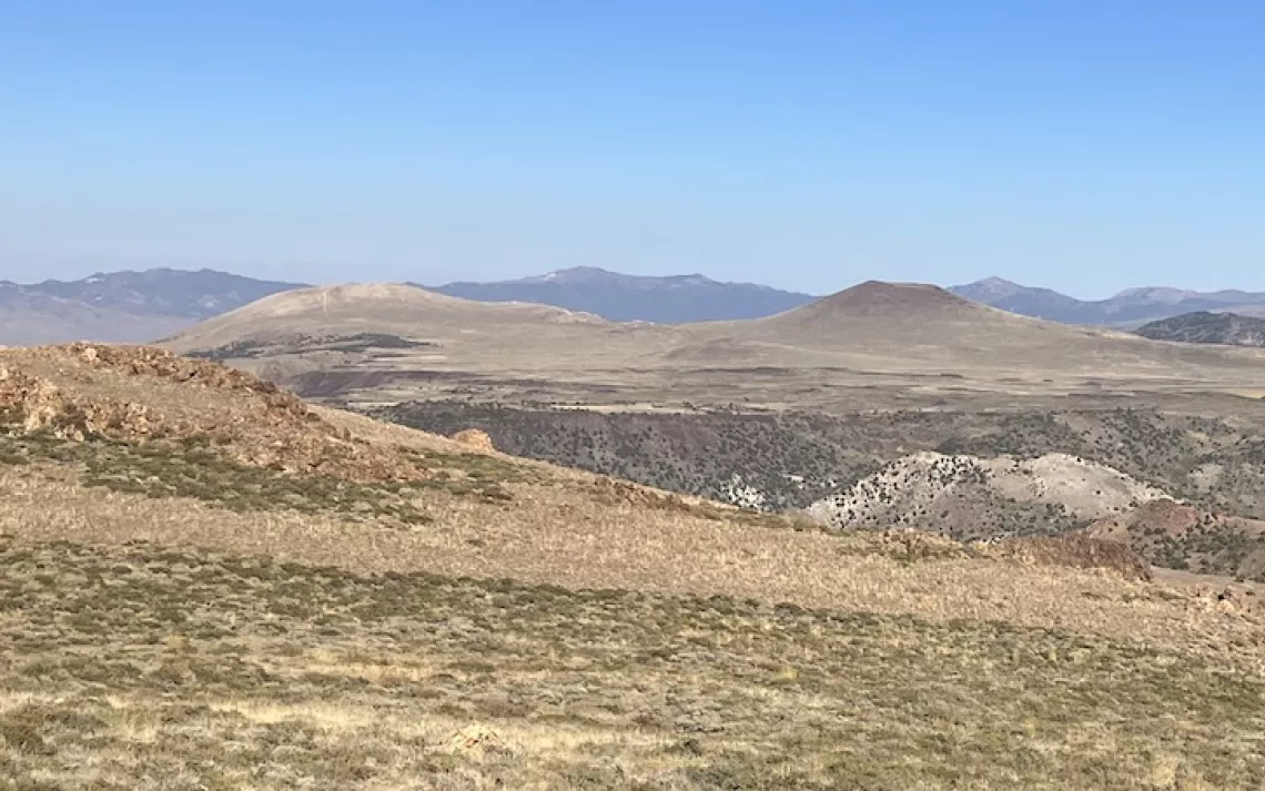
View of the Dry Lakes Plateau from the west. Bald Peak is the pale one on the left and Beauty Peak is the darker peak to its right. Beauty Peak has a classic stratovolcano shape.
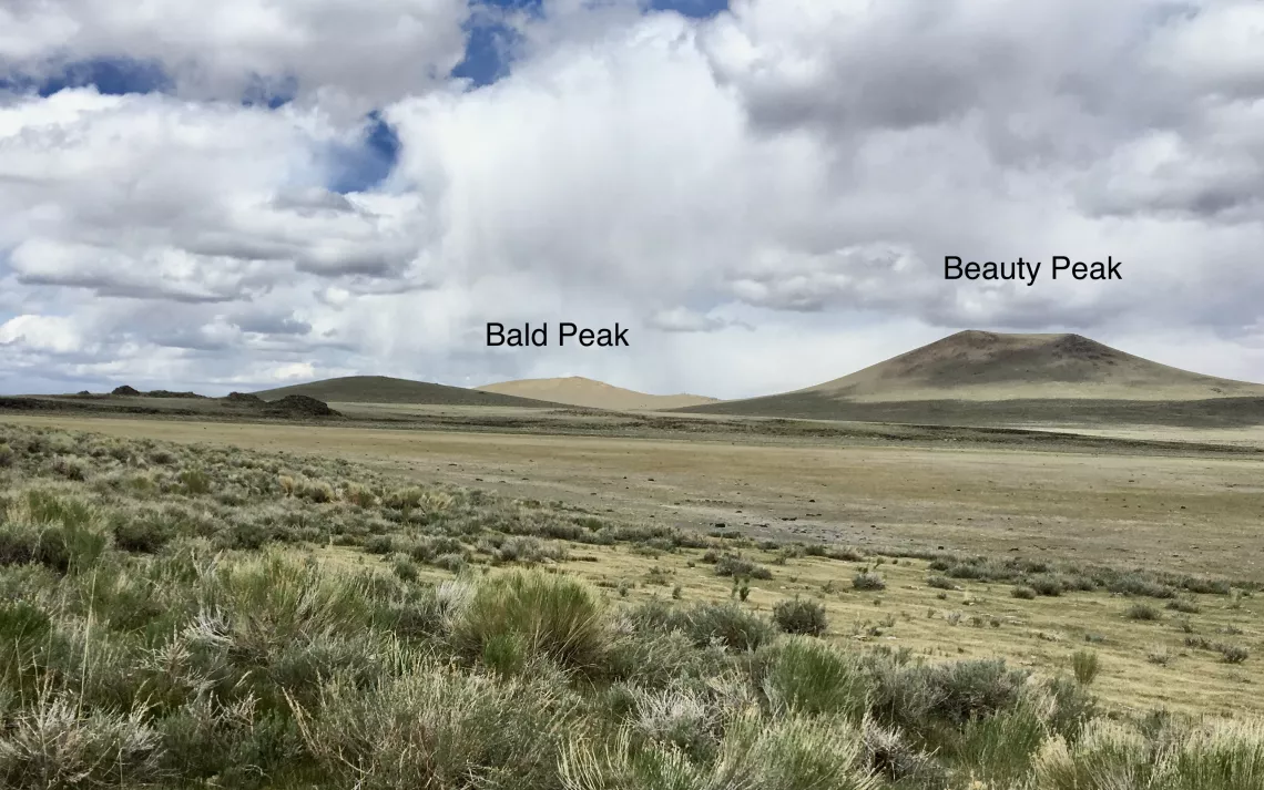
View of Bald and Beauty Peaks from the California side of the Dry Lakes Plateau. The state boundary crosses over the top of Beauty Peak from the left side of the photo to the right side. Bald Peak is in Nevada just over the border.
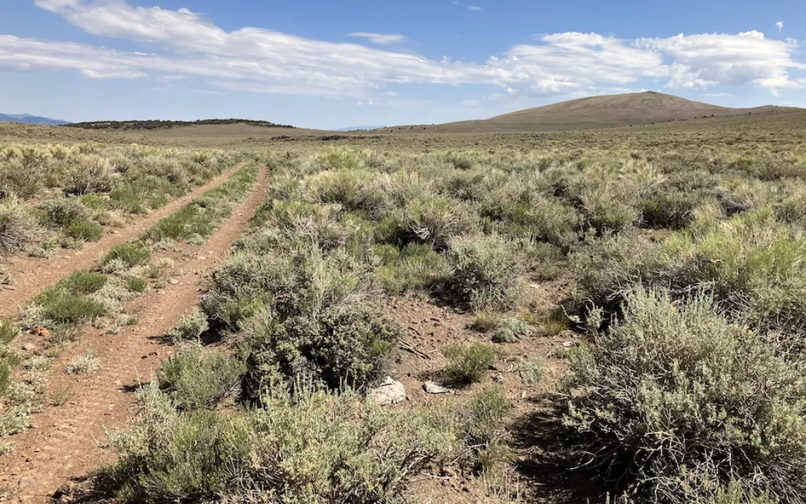
View of Bald Peak from the CA-NV border.
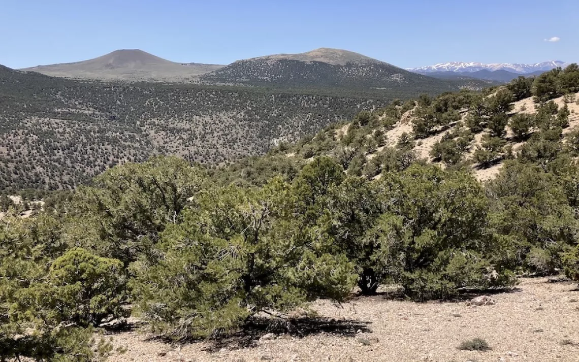
View of Beauty Peak (on the left) and Bald Peak (on the right) from the east side of the Dry Lakes Plateau from Sawtooth Ridge. Bodie Creek and Del Monte Canyon separate Sawtooth Ridge from the Dry Lakes Plateau.
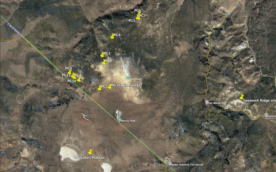
Map of the proposed Bald Peak gold exploration drill sites. There are 11 sites. There are no official roads to Bald Peak. The project will access the area by helicopter.

The planned helicopter staging area is between Beauty and Bald Peaks, in front of Beauty Peak in this photo.
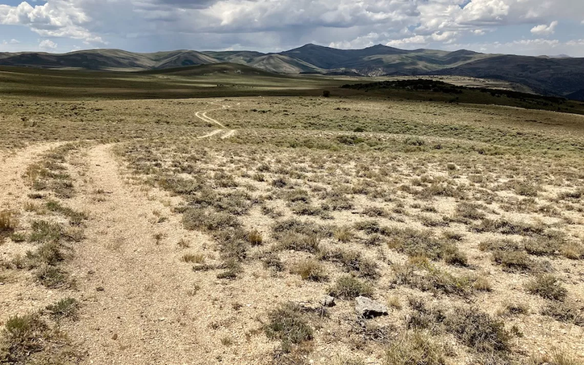
View of drill site 1 in the foreground with Bodie Peak in the distance. The CA-NV border is about where the road ends in this photo.
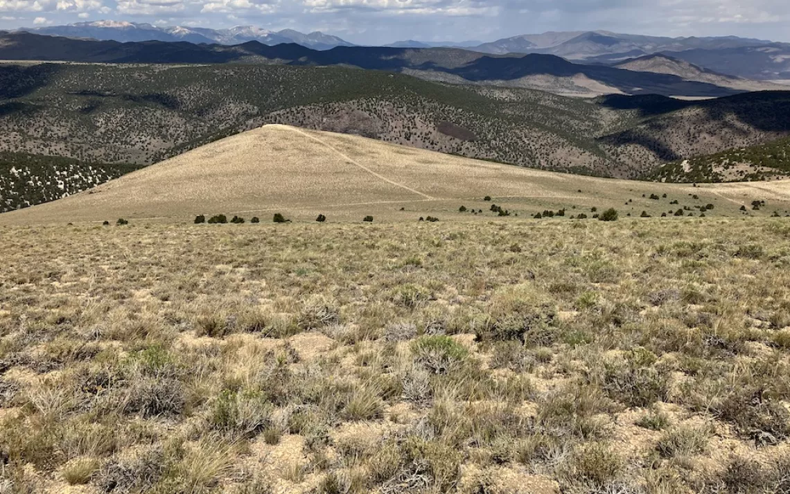
Drill sites 2 and 3 are at the end of the point. Rough Creek is directly below.
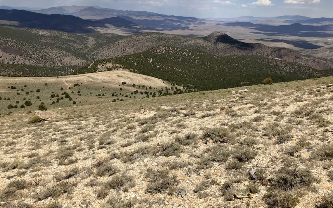
Drill sites 4-7 are along the darker ridge to the right of the point. Sugarloaf peak is in the middle ground in the shadow. Rough Creek runs between the drill sites and Sugarloaf.
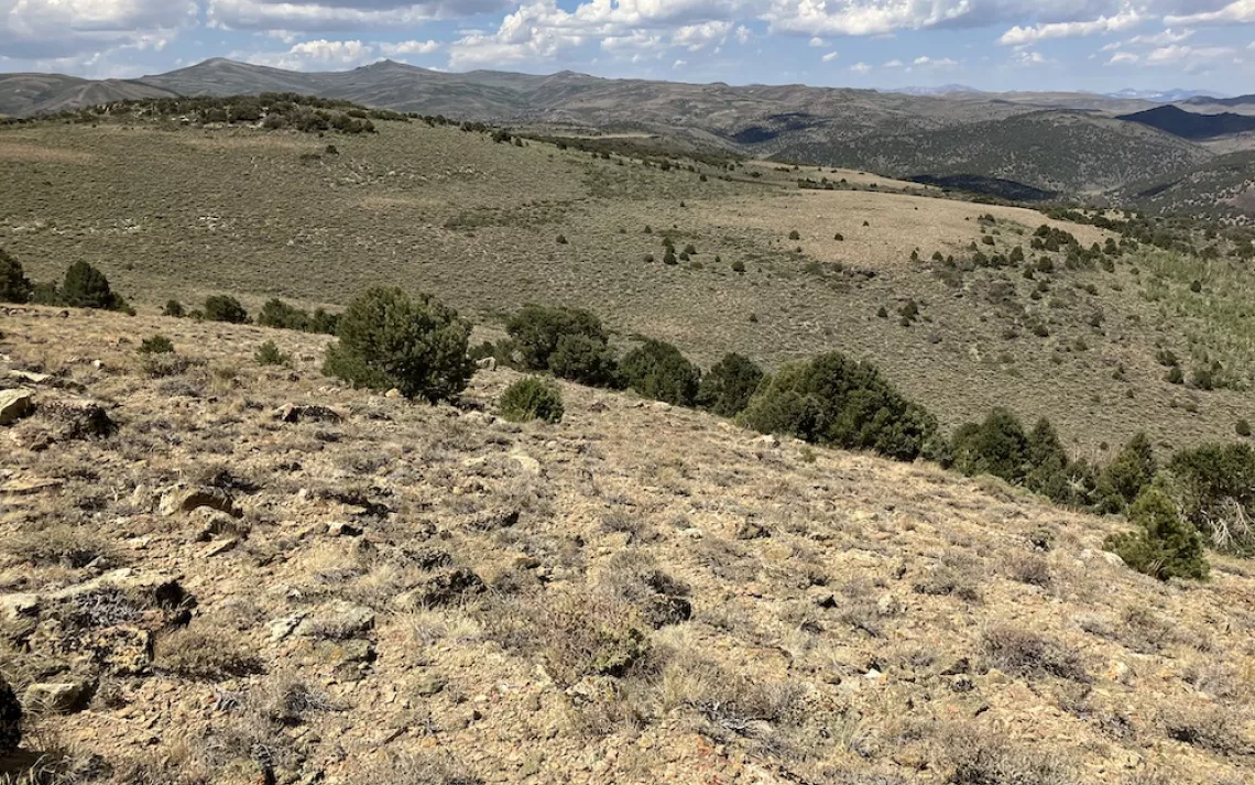
View of drill sites 8-11. They are right on the CA-NV border. Bodie Mountain WSA is on the California side up to the border. Bodie and Potato Peaks are in the distance.

One of many pronghorn trails that crisscross Bald Peak. Pronghorn summer in the Bodie Hills and winter in Nevada near Mt. Grant. Fletcher Valley and the Wassuk Range are in the distance.
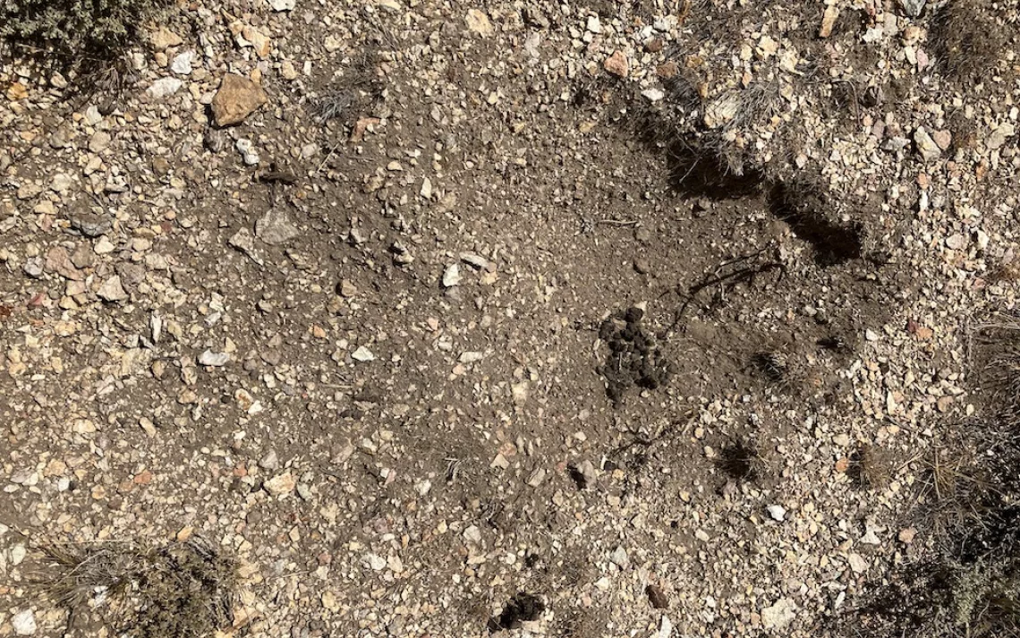
Pronghorn scat along one of the game trails. The scat is in a bedding depression where a pronghorn rested.
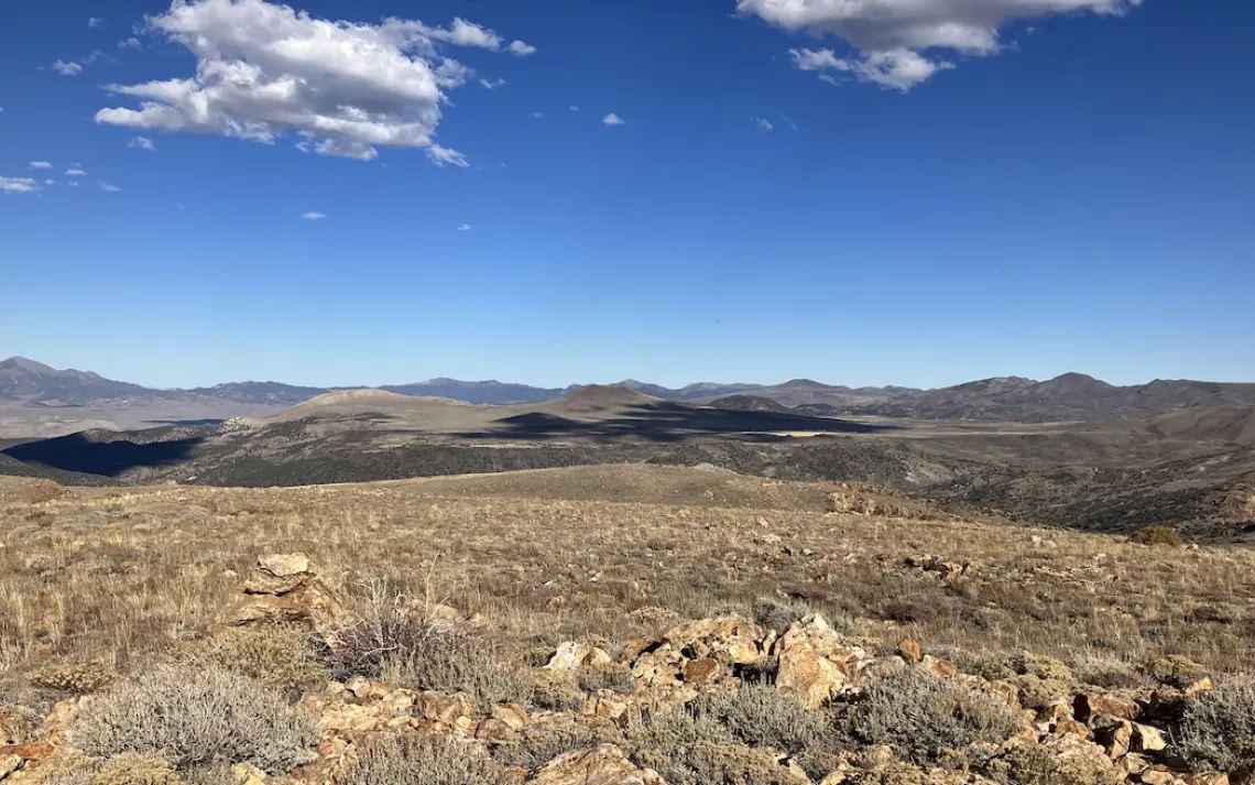
Bald Peak is on the Dry Lakes Plateau which is the heart of the Bodie Hills. The two ephemeral lakes that fill with snowmelt that can last into the summer. Bodie Creek cut a canyon on the south side of the plateau, Atastra Creek flows in the canyon on the west side (in front of the plateau in this photo) and Rough Creek cut the canyon on the north side.