The Columbia Bottomlands are shaped by their relationship to water. On August 17 we explored them by paddling a section of the San Bernard River. Thanks to Joe Coker for organizing the trip.
Our put-in point was Bates Allen Park, which is just south of the community of Kendleton, TX.
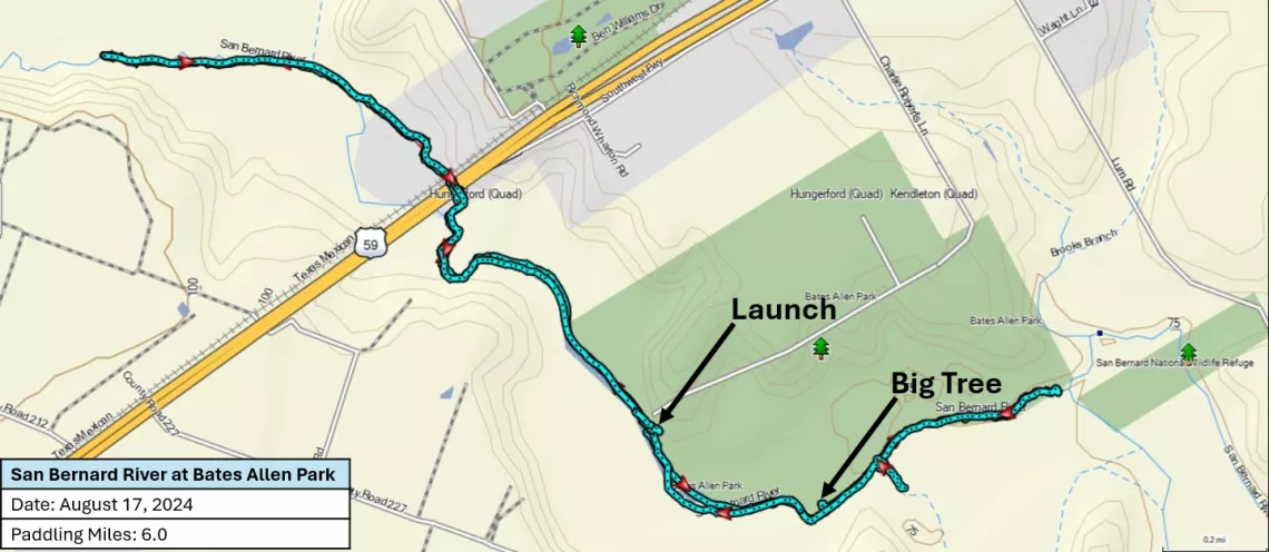
Where We Paddled
When the group met up at the park’s boat ramp, the temperature was already 85, on its way up to 97 degrees in the afternoon. So, we were careful to drink plenty of liquids and to be on the lookout for any signs of heat-related issues. (Fortunately, there weren’t any, other than feeling tired at the end of the day.)
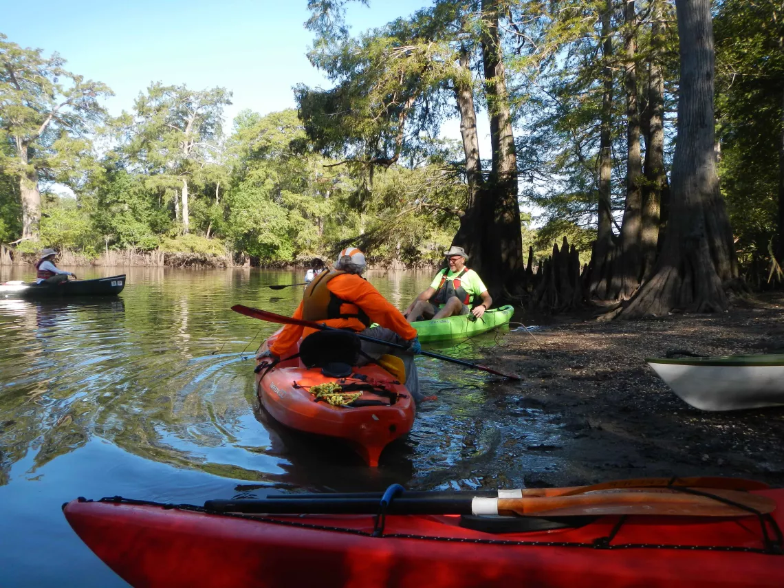
At the Put-In
With the light to intermittent breeze, the water’s surface was glassy. Soon, we were underway – heading downstream amidst beautiful cypress trees, some of which showed the damaging effects of recent storms.
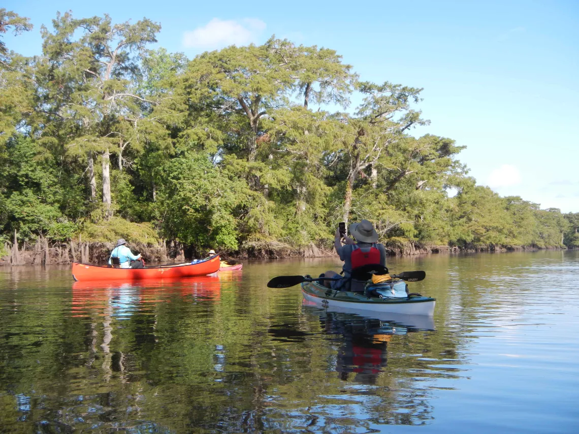
Getting Underway
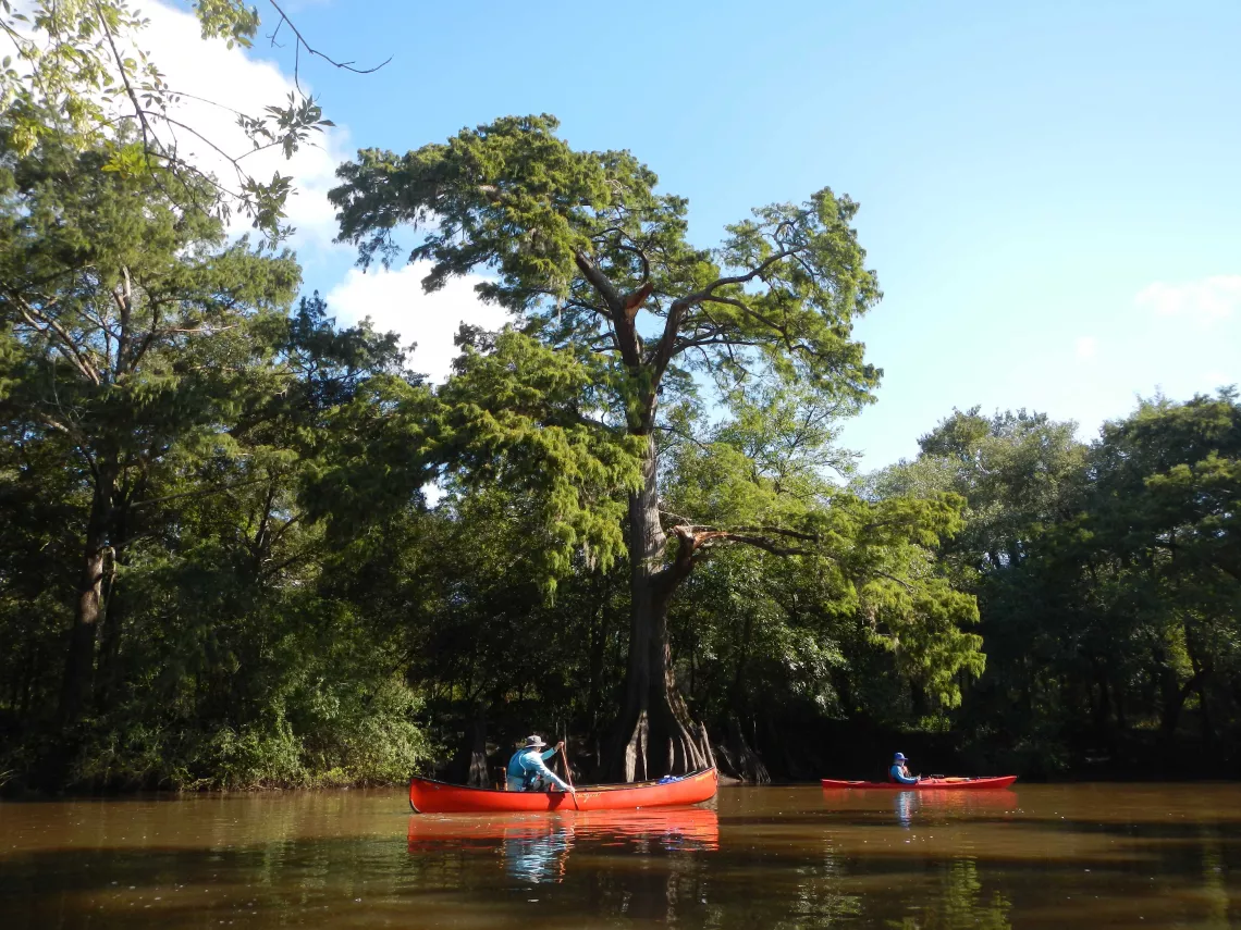
Beautiful Cypress Trees

Storm Damage
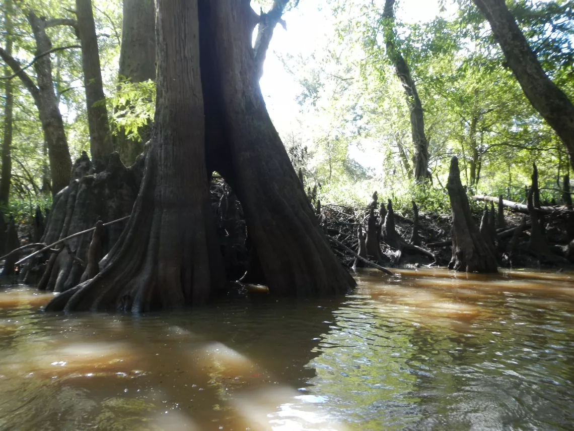
Window Tree
A tall tree on the river’s left bank had fallen out into the river near what some believe to be the state’s largest bald cypress tree. After a brief visit to the Big Tree, we continued downstream, gingerly working our way through the first logjam.
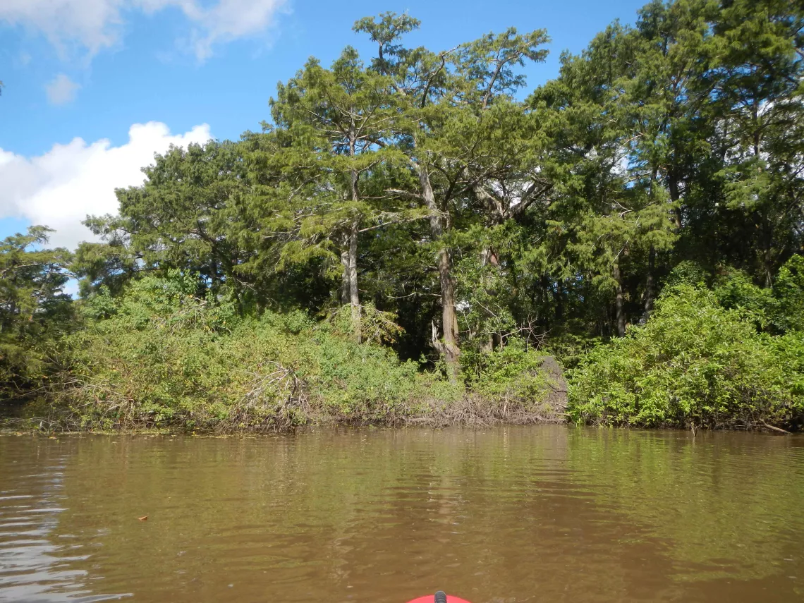
Tall Fallen Tree Near the Big Tree
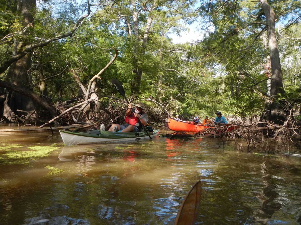
Through the First Logjam
Near the park’s southeast corner, where two channels converge, we encountered a larger logjam that marked our turnaround point.
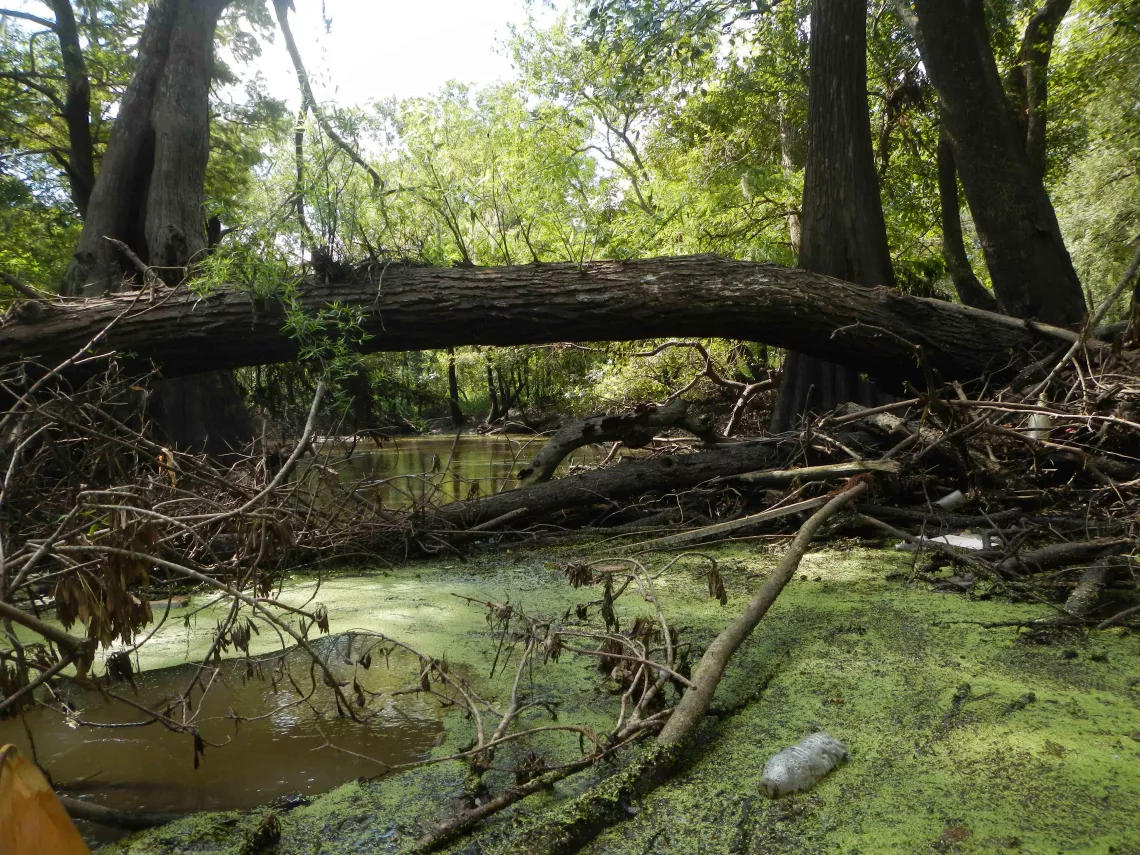
Downstream Turnaround
On our way back upstream, we enjoyed the bottomlands’ flora and fauna, including a number of golden orb weaver spiders.
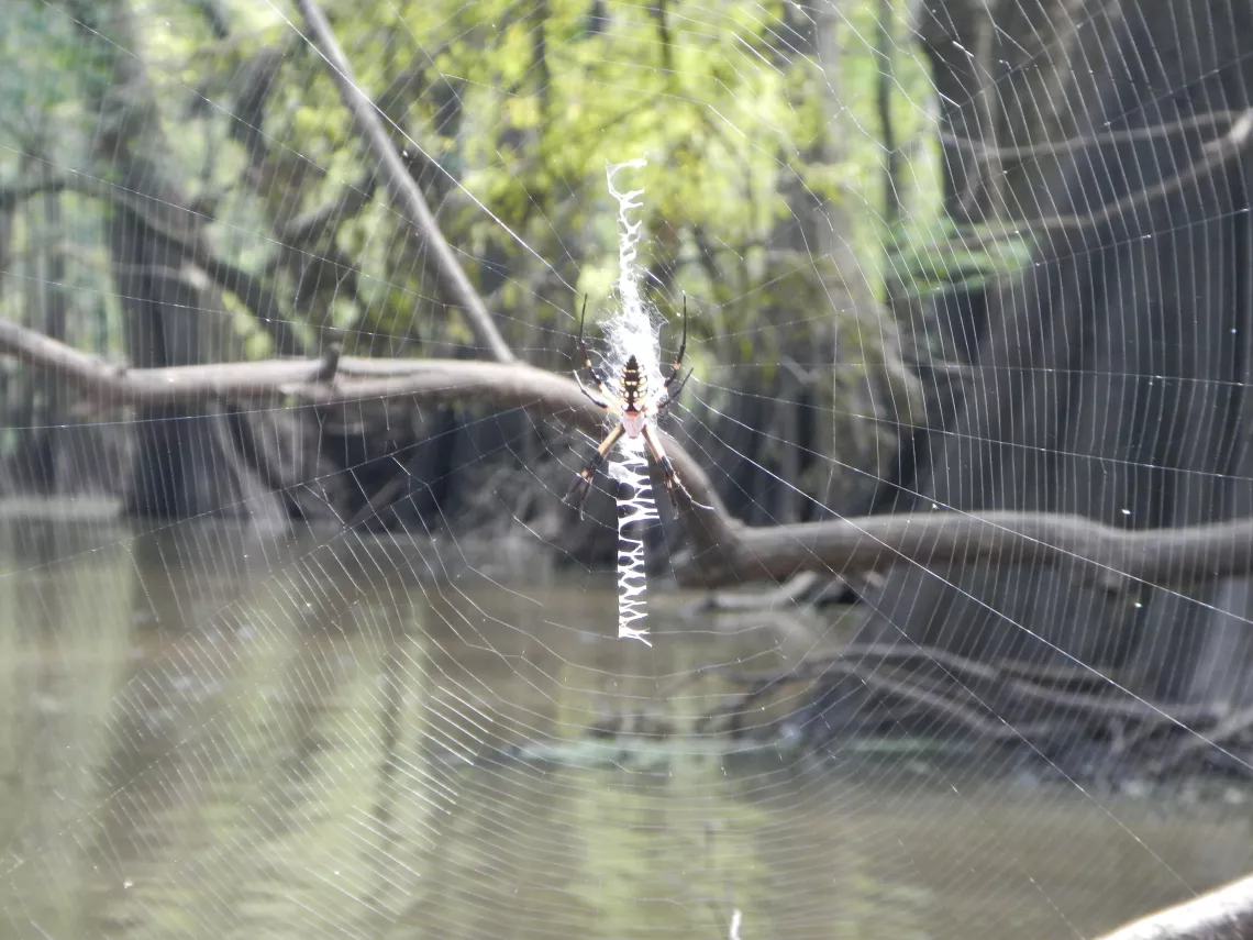
Golden Orb Weaver
Soon, we reached a small and interesting channel that leads off to the southeast. Right at the opening of the channel, a tire suspended high up in a tree serves as a reminder of just how high flood waters can get here following a rain.
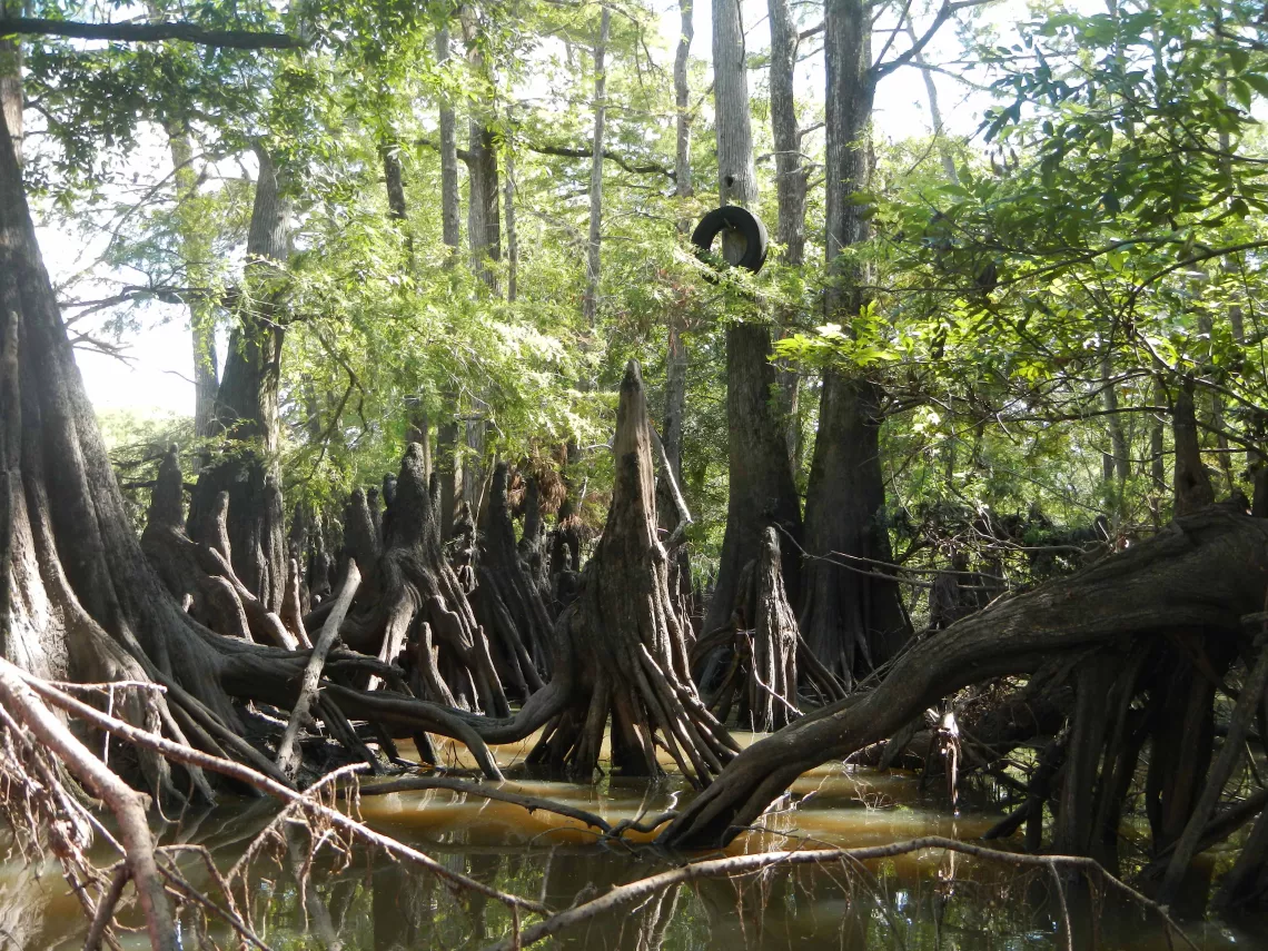
Vestige of Past Floods
The water in the side channel was barely deep enough to paddle in places, but we were still able to view some beautiful scenery, such as several trees that have unusual patterns of round holes in them.
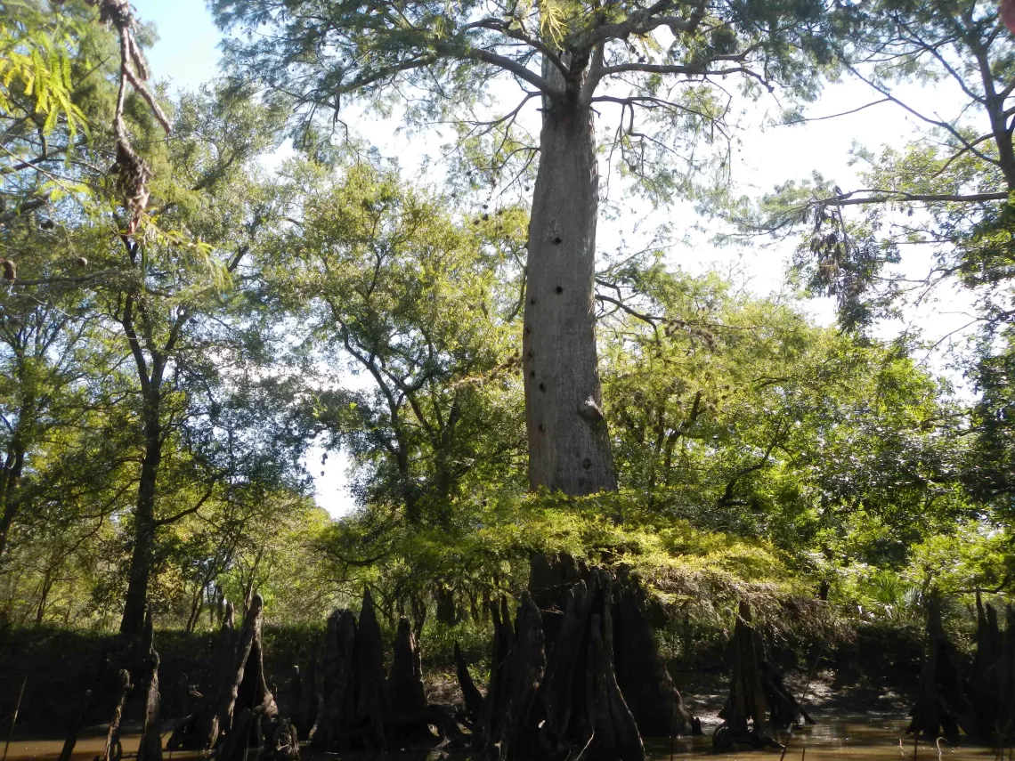
Ventilated Tree
Following a stop back at the park for a lunch break, we paddled upstream past Highway 59 and the Texas Mexican Railway bridge. The scenery was memorable for about a mile beyond the bridges, at which point we came to another formidable logjam that served as our turnaround point. Nearby, the river bank showed signs of having been disturbed by feral hogs.
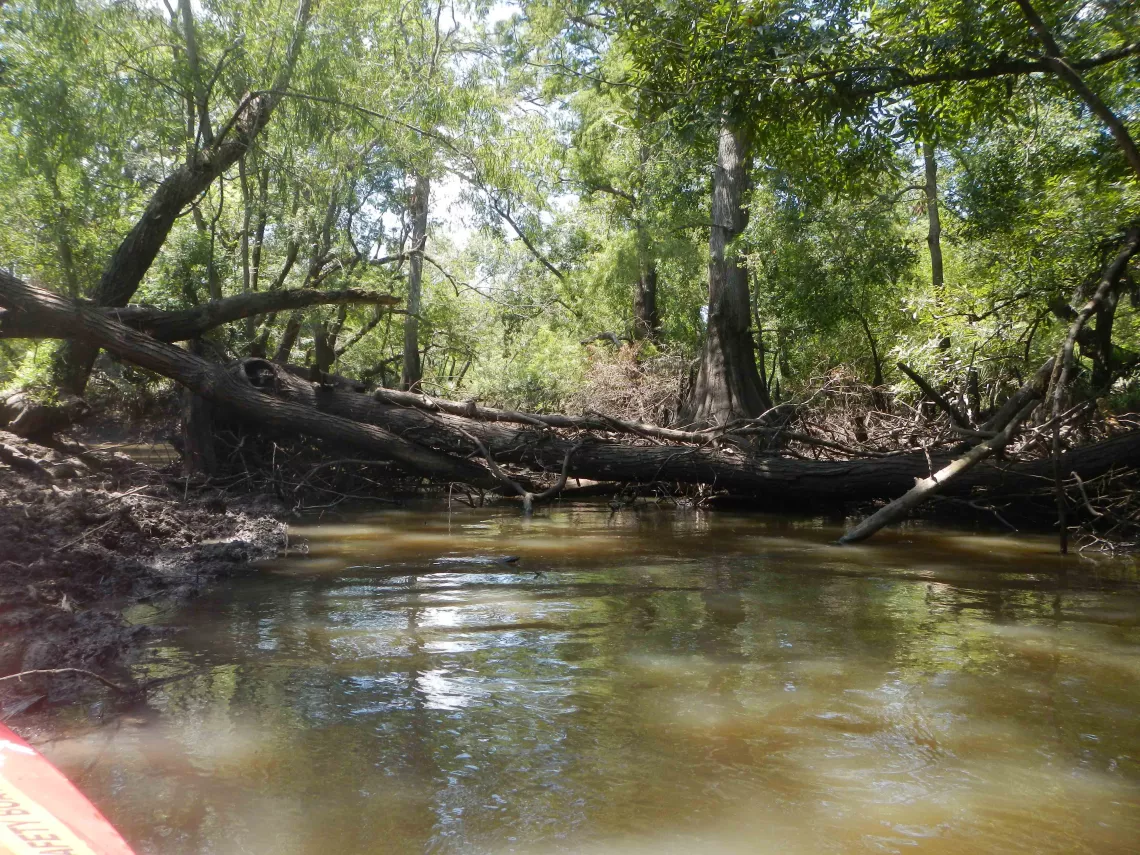
Upstream Turnaround
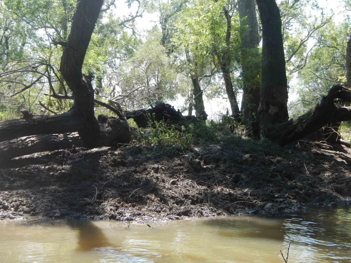
Feral Hog Rooting
On our way back to the park, we continued picking up trash which we packed out.
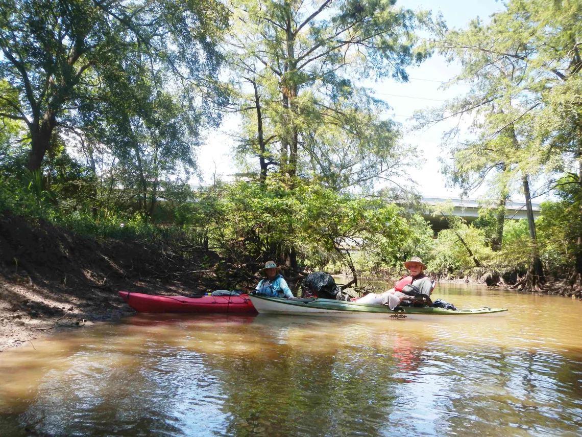
Packing Out Trash
It had been an enjoyable day, and we departed with an enhanced appreciation of the Columbia Bottomlands.
Photos by Tom Douglas