By Tom Douglas
We rolled out of Houston in a light drizzle, hoping that the forecast for a sunny day on December 4 would turn out to be right. There were patches of fog, but these began to burn off soon after our group paddled away from the boat ramp at Bates Allen Park, which is a little to the southwest of the town of Kendleton.
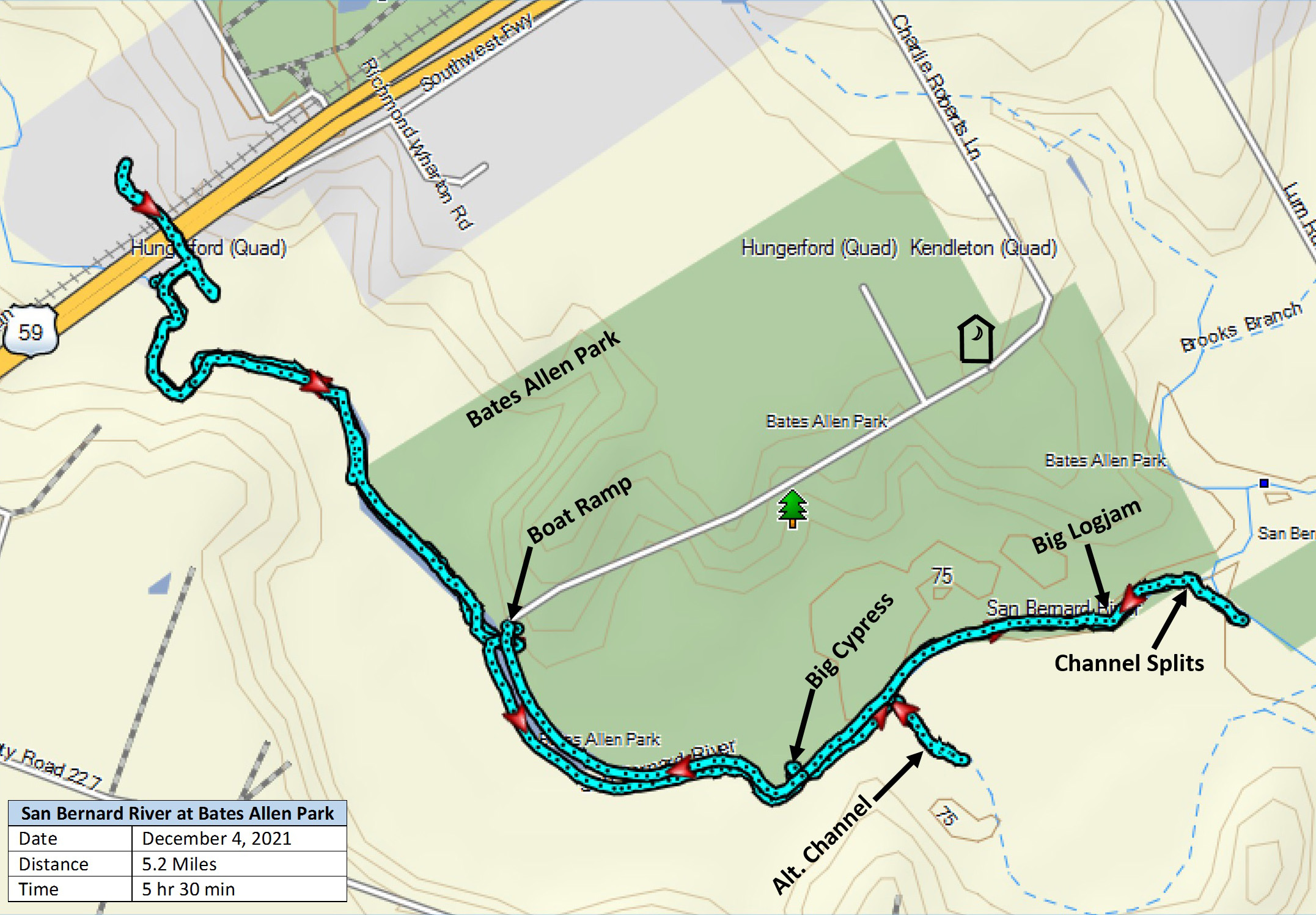
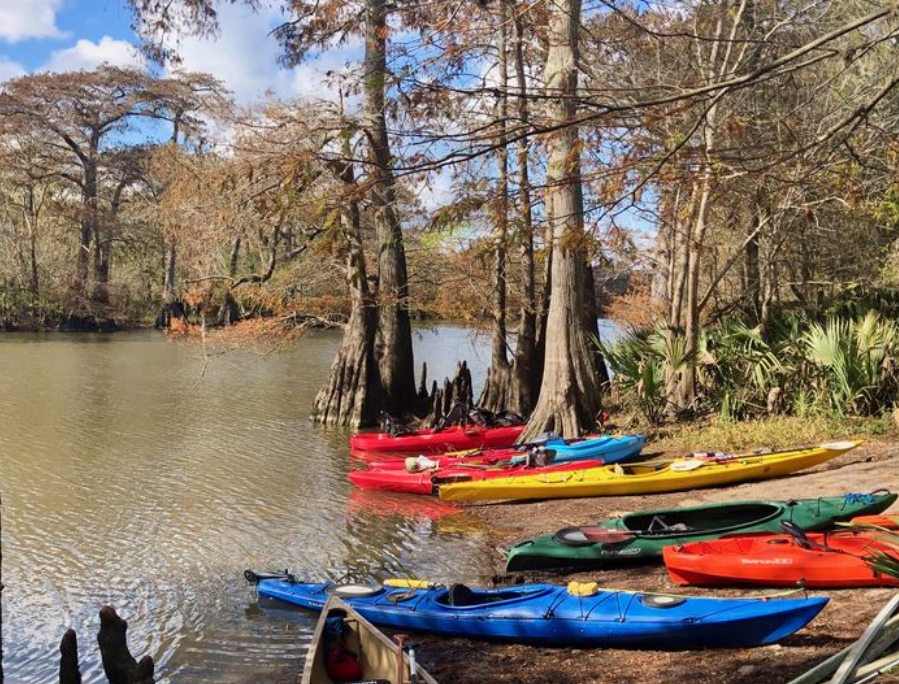
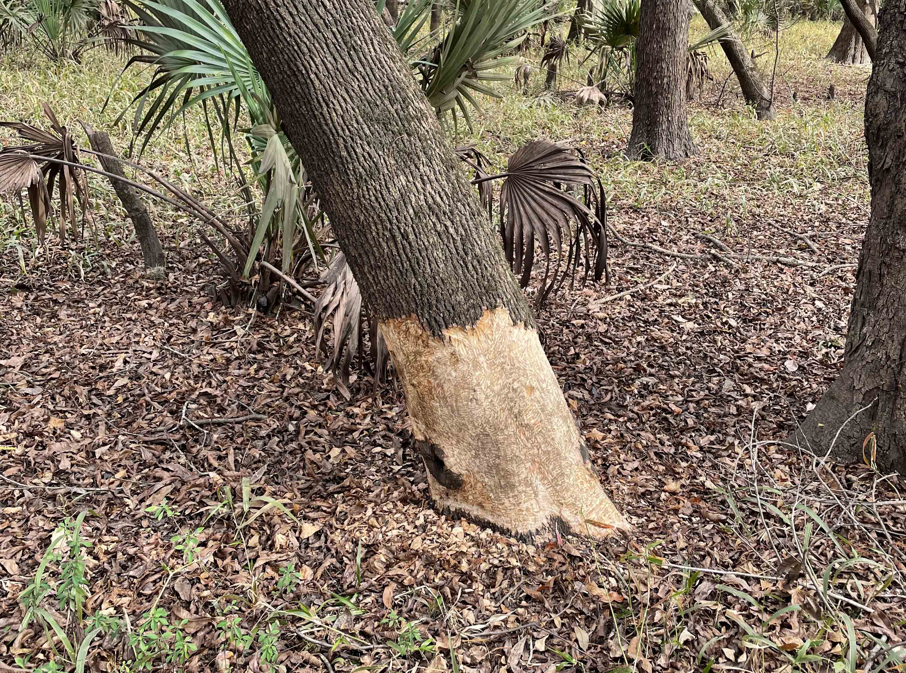
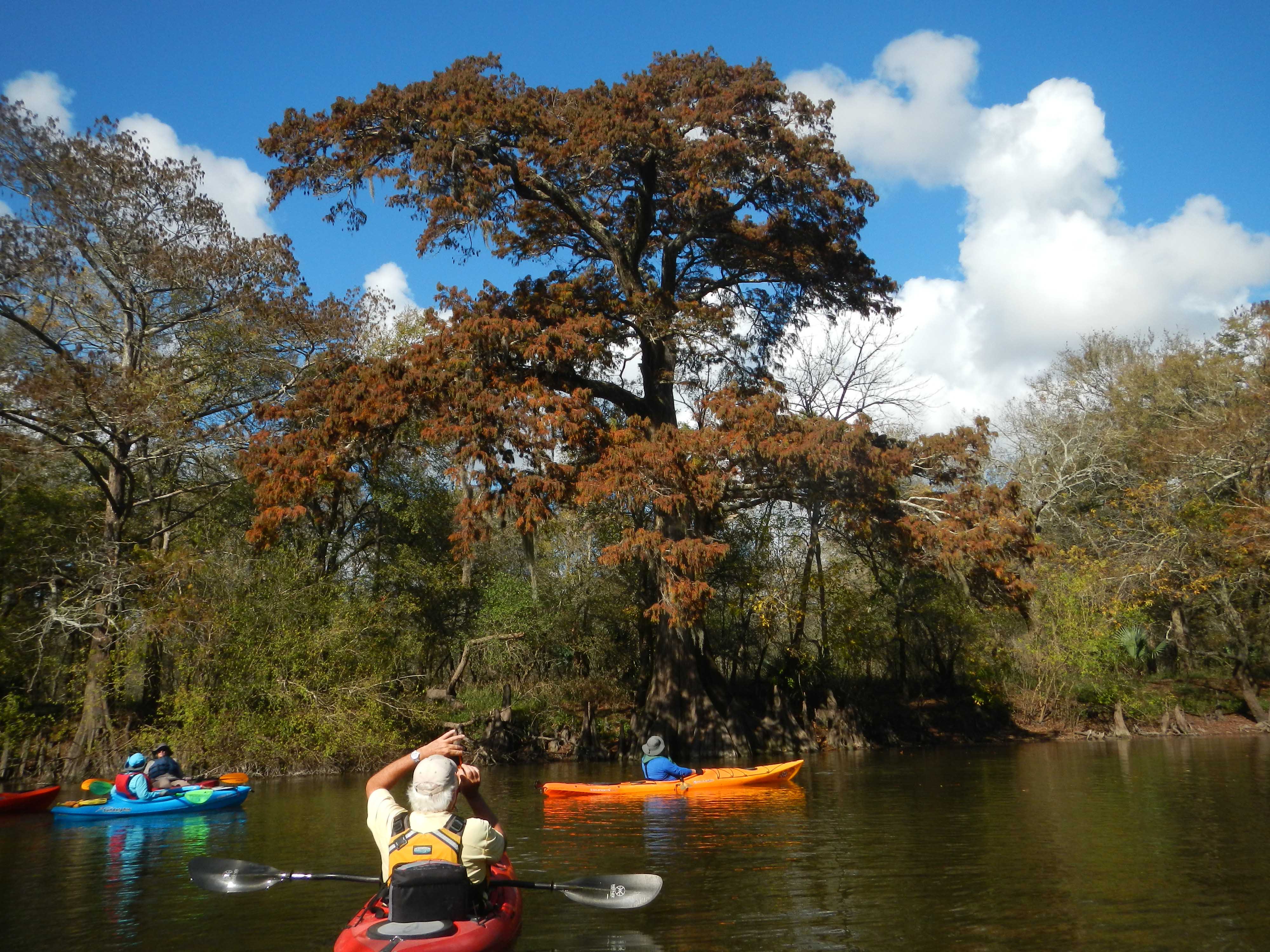
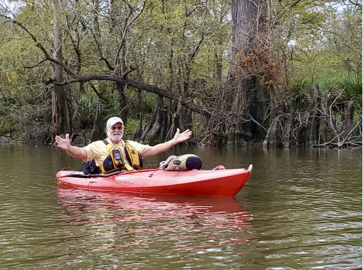
We headed to the north, admiring the many old cypress trees. Prize #1 for the day went to Master Naturalist Betty Bouley, who spotted a tree that had been gnawed extensively by beavers. Chris Larson hopped up onto the bank to make a photo of one of these trees.
The Highway 59 bridges and the rocky spot just to the north of the highway were crossed without any problems. This went better than would have been expected from the reports of very low flow at the USGS gauging station, but it agreed well with what our scouting party* had seen 5 days earlier. As is often the case, there was a significant logjam not far beyond the railroad bridge that carries the tracks of the storied “Macaroni Line”. With all of us gathered up into a compact formation at the logjam, this seemed like a good opportunity to take a group photo before turning back to the south.
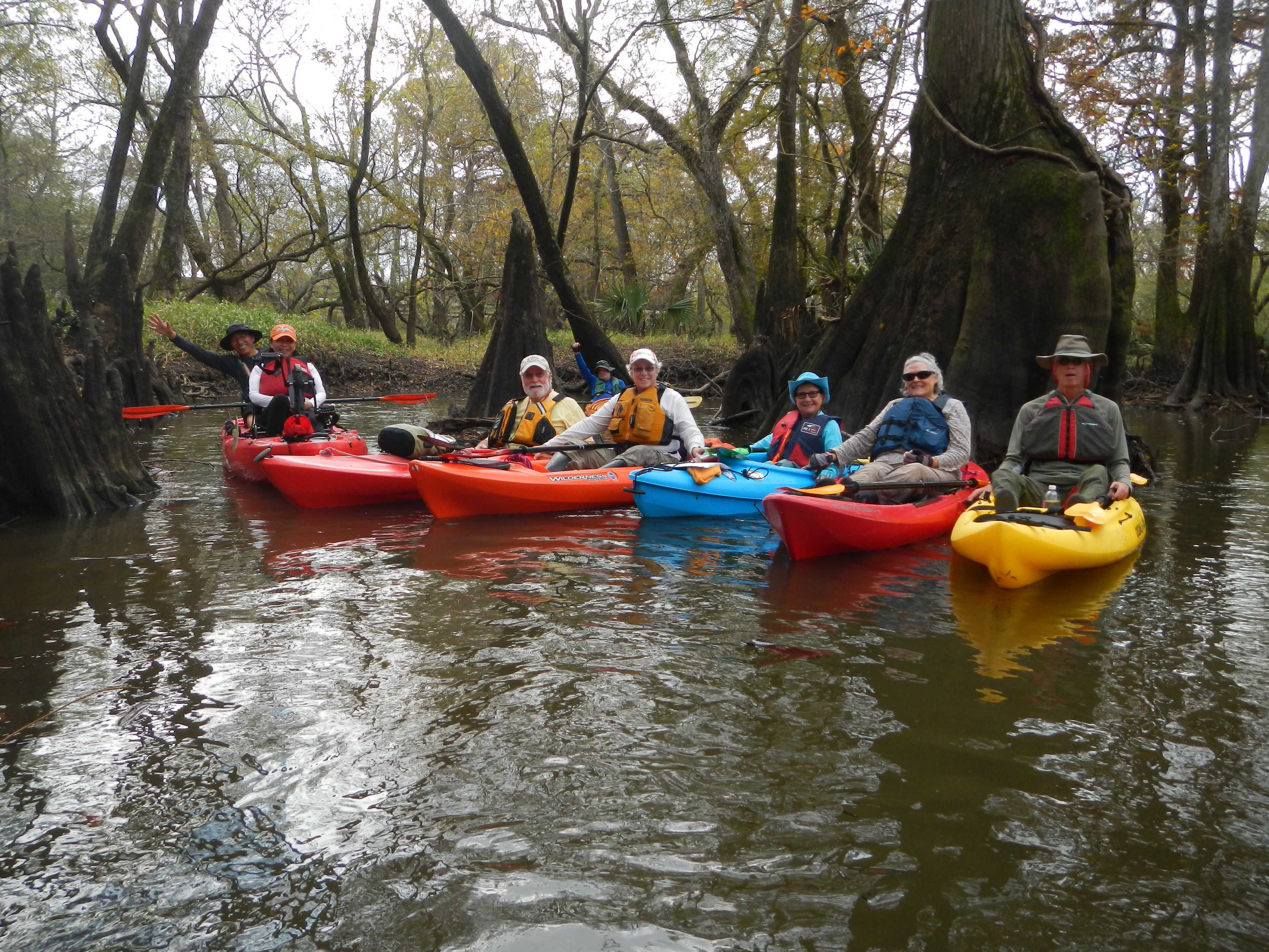
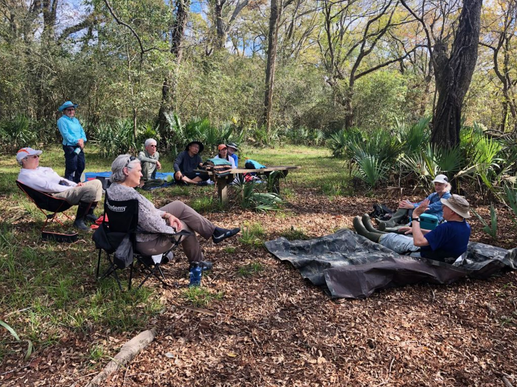
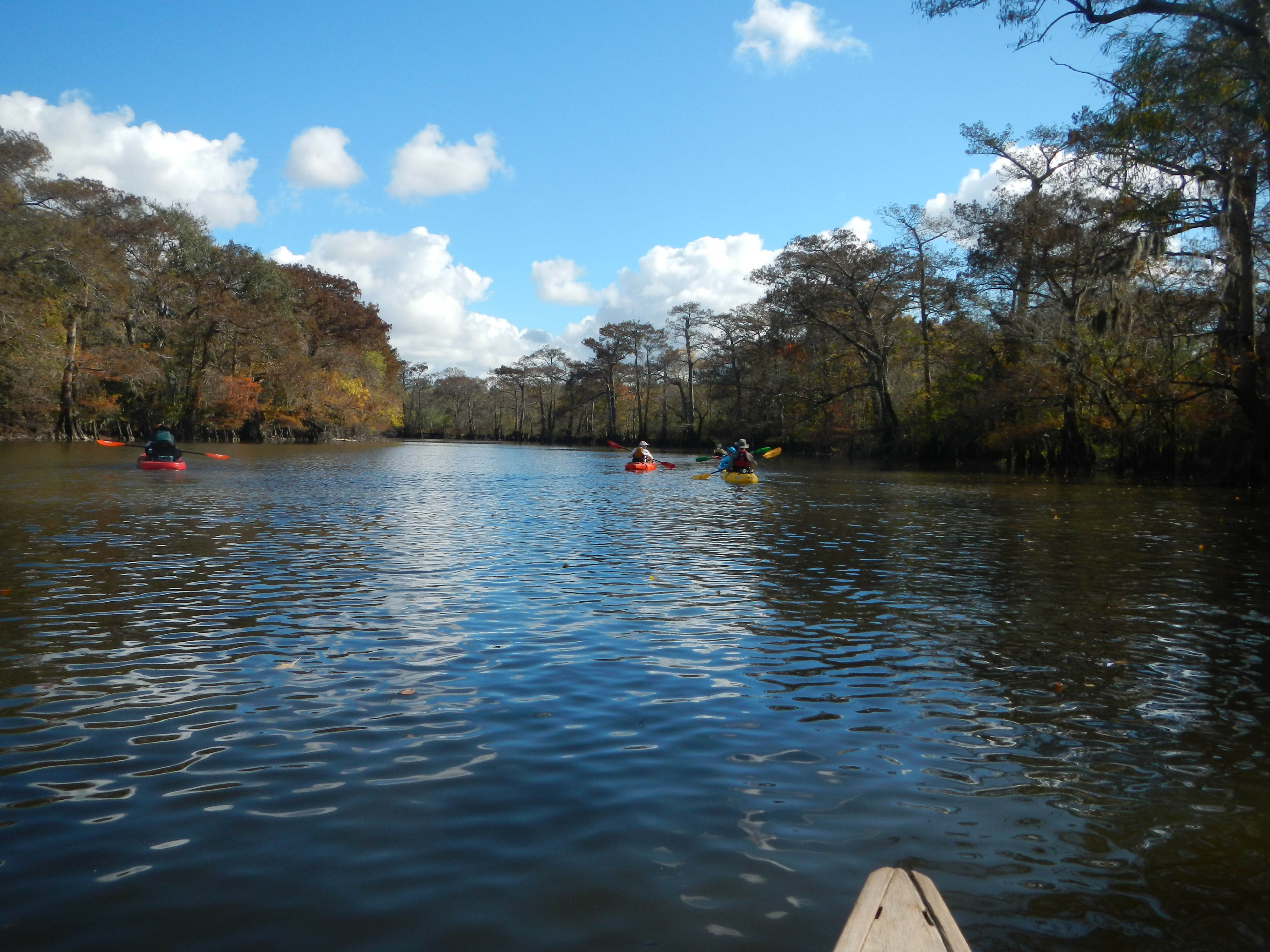
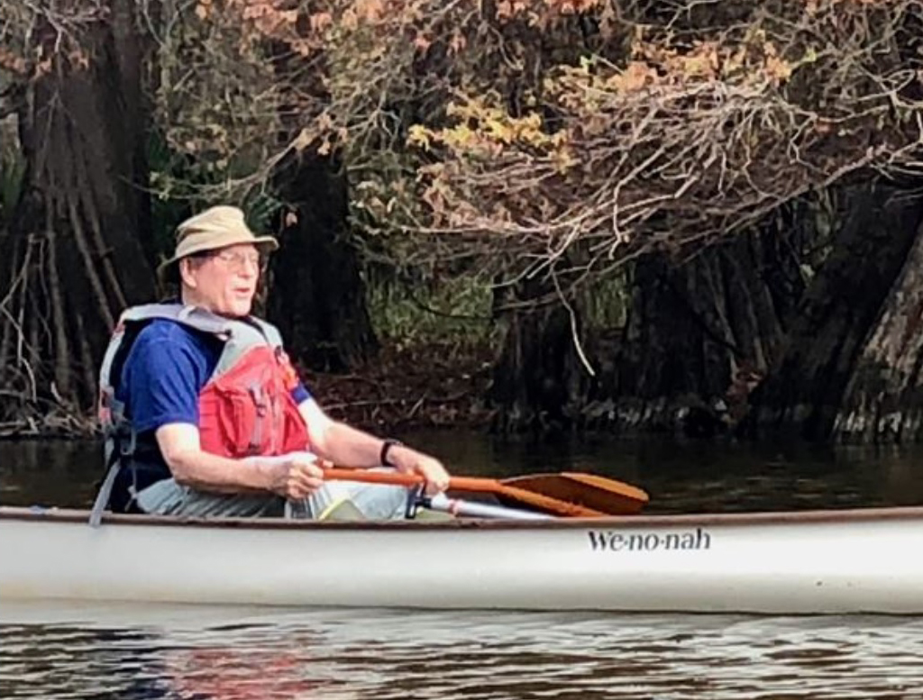
There were many amazingly-shaped cypress trunks and knees to marvel at, and a small palmetto-lined side channel to explore on our way back to the park. With spirits buoyed up by the fine weather, everyone had stories to tell during the lunch break: some true and some fanciful.
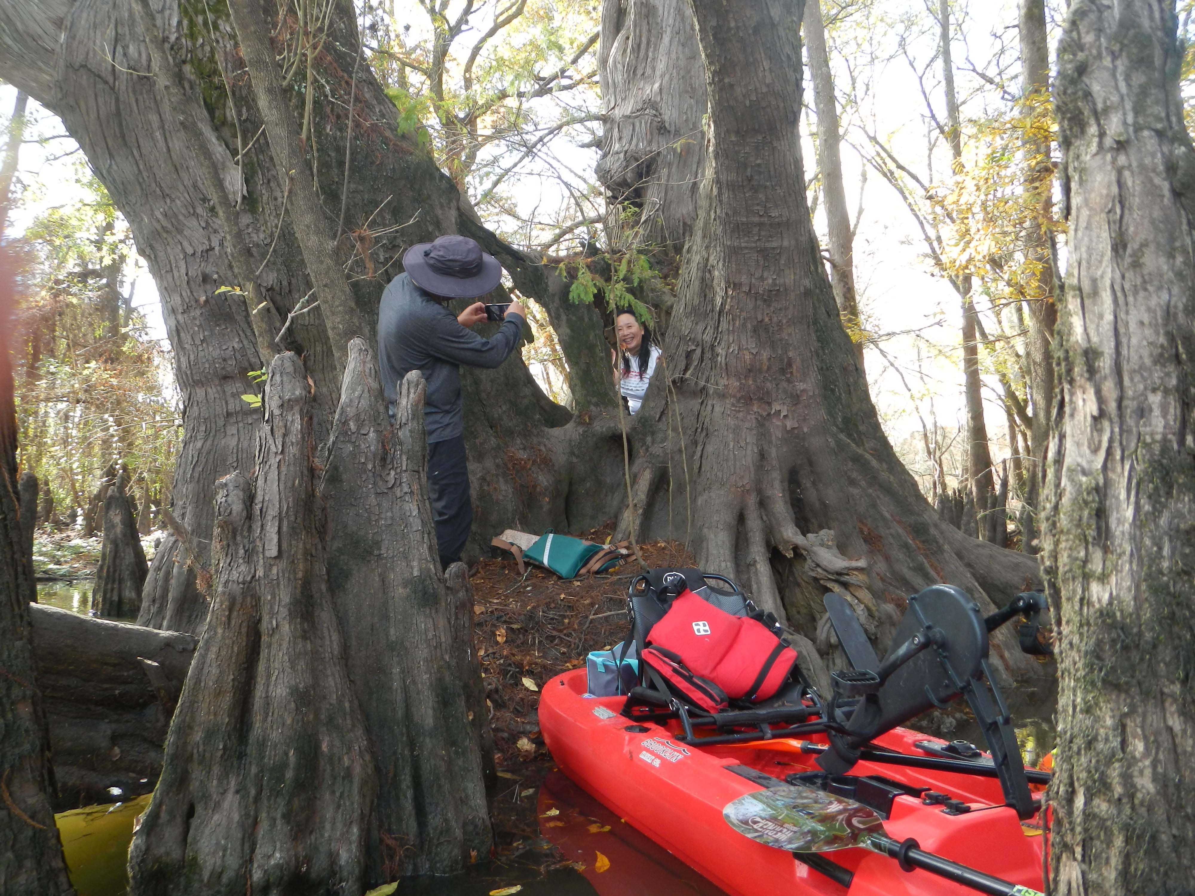
Heading to the south for the afternoon, we paid a visit to what is believed by many to be the largest bald cypress tree in Texas. Jenny Zhang and Greg Fan shared Prize #2 for being game enough to climb up out of their boat and inside the hollow trunk of the massive cypress.
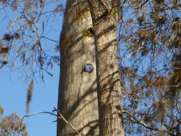
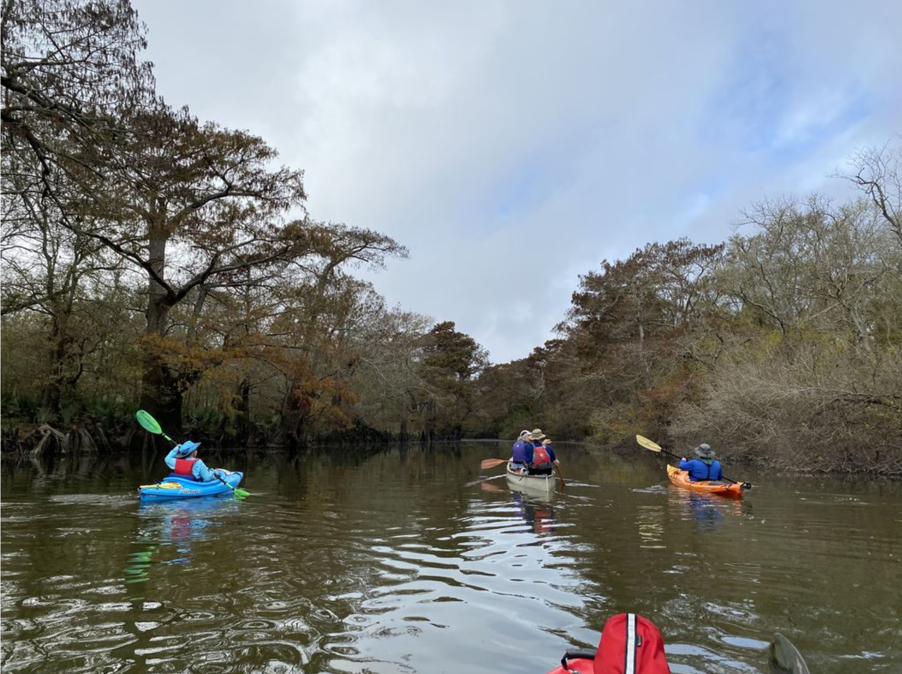
Then, it was on to an alternate channel on the south side of the San Bernard’s main stem. Its entrance and the many tall cypresses standing in the water there can be seen either as a daunting challenge or as a reward for good boat handling. One of the sights there is a tall hollow cypress that has knot holes arranged on both sides so that it is possible to see right in one side and out the other.
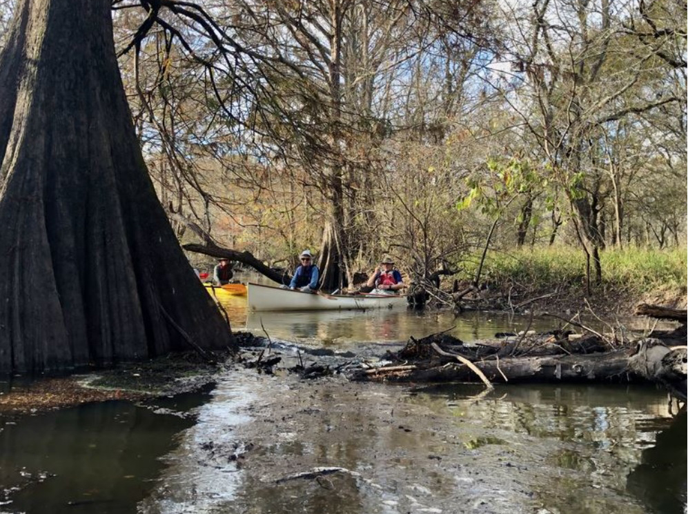
Farther downstream we reached a huge logjam that has been the turnaround point for many of our previous trips. But, as a result of floods in the spring, there is now a path around it. We once again realized our debt of gratitude to the scouting party* that had cleared a path to the logjam by opening up a passage through a smaller brush pile. Everything beyond this point was terra incognita for most of our paddlers. We headed down to the southeast corner of Bates Allen Park to the place where the channel splits. Based on what our advance scouting party had found, we took the right-hand branch, which skirts the edge of one of the units of the San Bernard National Wildlife Refuge. Consulting our watches, we elected to turn around where a couple of shallow logs would have required a while for the group to traverse: once going downstream and again on the return.
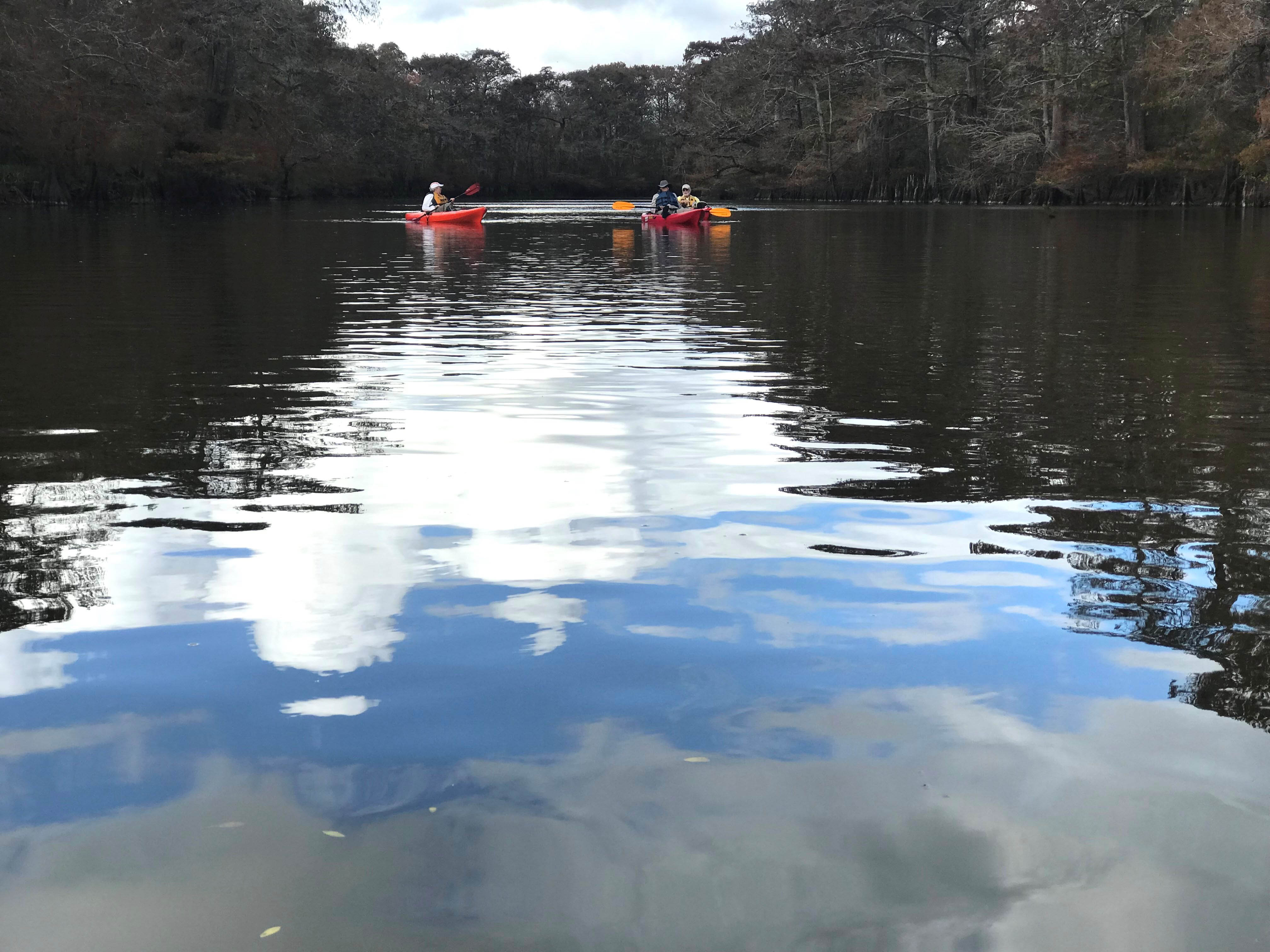
All in all, the sights had been wonderful. Many of the trees were putting on fall colors, and the water was often so calm that there were mirror-like reflections.
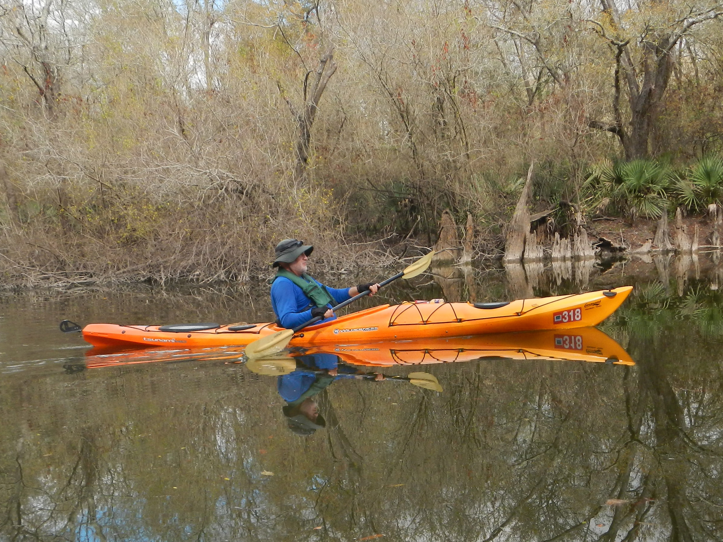
Perhaps most memorable of all were the smiles on everyone’s faces.
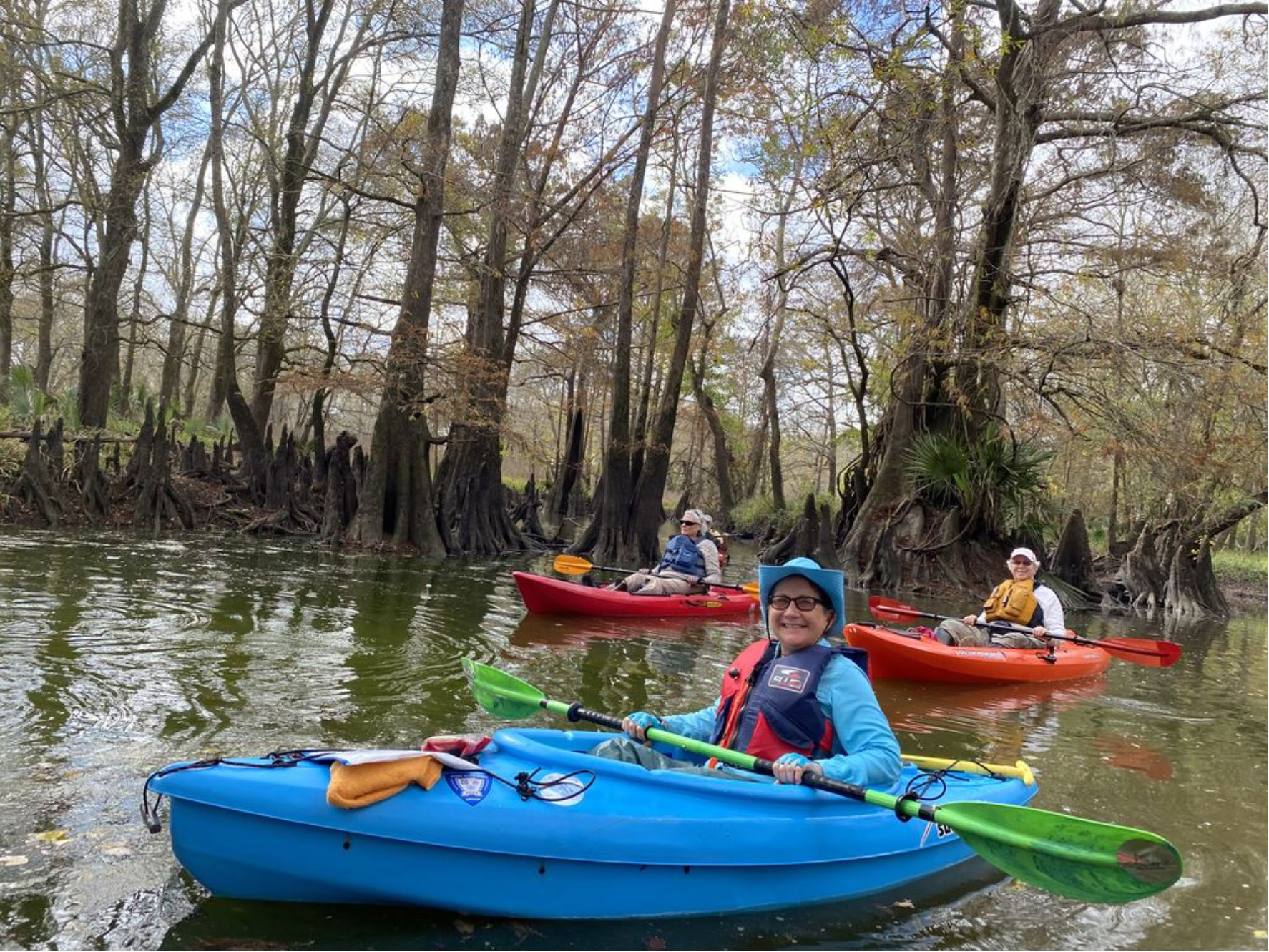
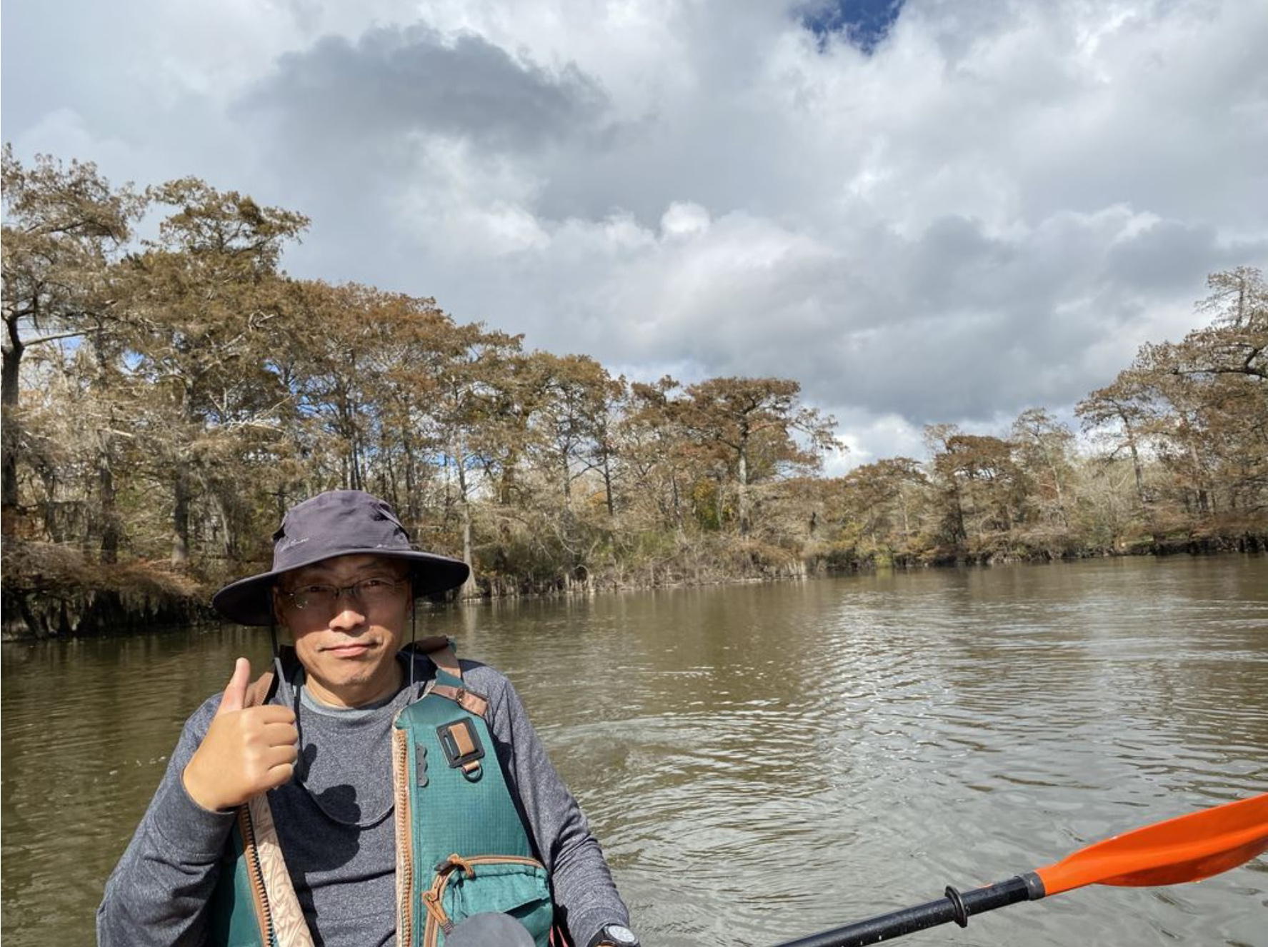
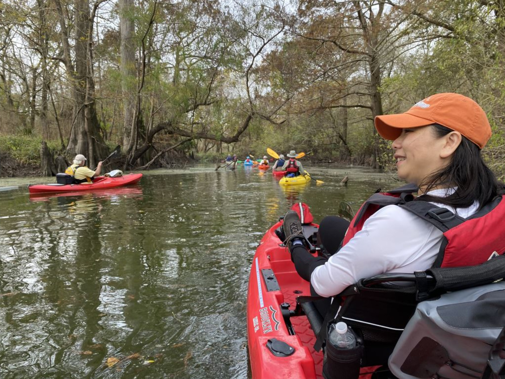
When we saw clouds off to the east on our way back to Houston and then drove through several minutes of pretty hard rain, we were reminded of just how kindly Mother Nature had smiled on us during our sunny San Bernard paddle.
*Many thanks to the members of our advance scouting party (Joe Coker, Tom Douglas, Rea Inglis, and Natalie Wiest), who checked out river conditions on November 29. Joe was quick to notice that the provisional flow rates being reported by the USGS station 08117500 near Boling, TX seemed low based on previous flow/depth relationships for that station and also for the water depths that the scouts encountered at Bates Allen Park, which is located 17.6 miles upstream of it. Indeed, the flow rates for a series of dates including November 29 and December 4 were later revised upward by several fold.
Sincere thanks are also due to those trip participants who created the images that appear in this article: Alan Bernstein, Joe Coker, Tom Douglas, Greg Fan, Chris Larson, Linda Shead, Fran Wilcox, and Jenny Zhang.