By Tom Douglas
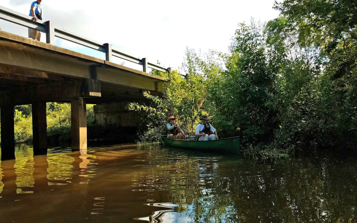
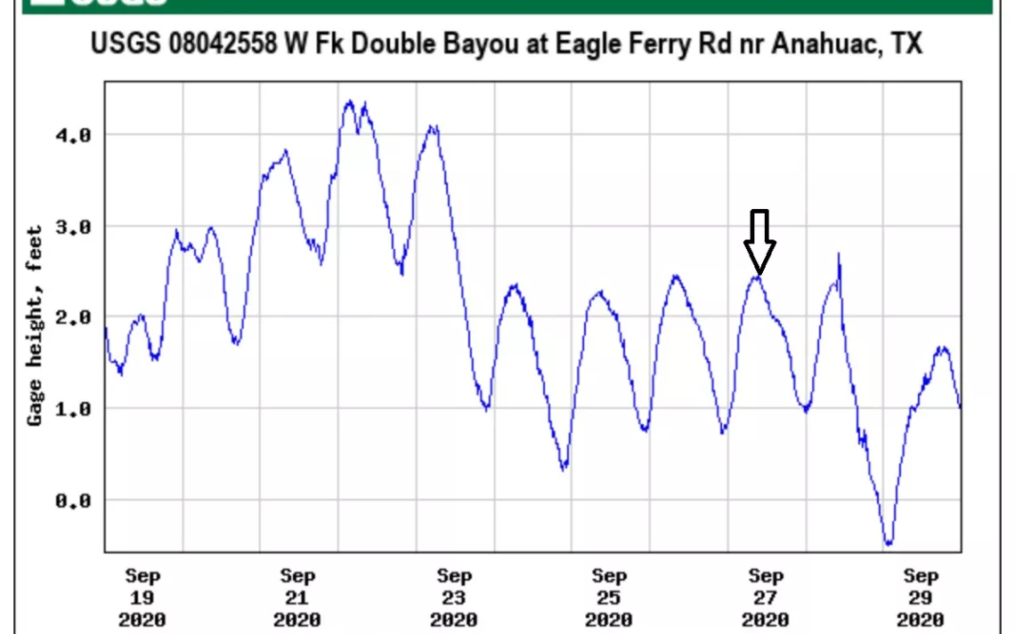
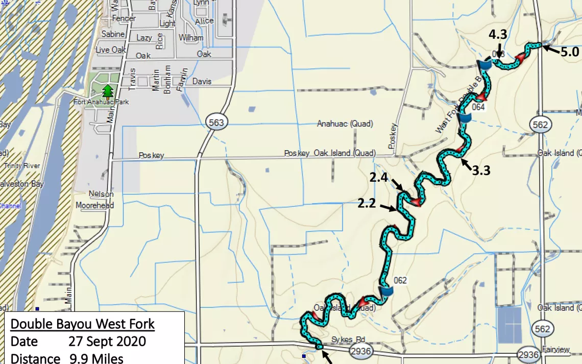
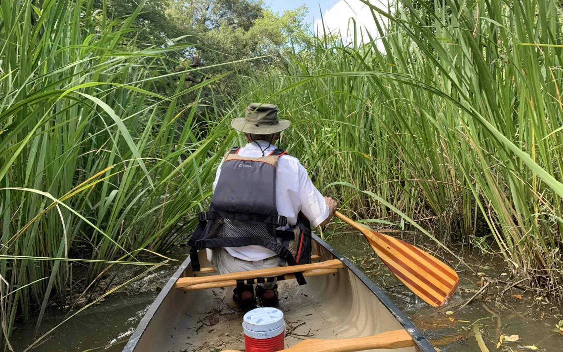
On September 27, our group of six paddling friends gathered for an informal exploration of the West Fork of Double Bayou, which is over in Chambers County a little southeast of Anahuac. The undisturbed state of the vegetation on the bank near the Sykes Road/FM 2936 bridge bespoke the fact that the upstream portion of the bayou has been paddled rarely, if at all.
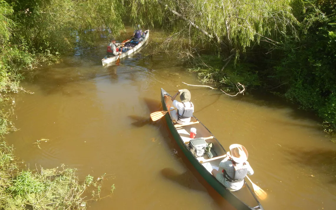
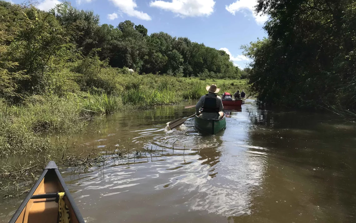
All of us were paddling canoes: two solo boats and two tandem boats. Even though Ann Andrisek couldn’t join us on the water this time, she bicycled down to the bridge to see us off. We thanked her and waved farewell as we headed upstream.
The weather was fine, and our timing was just right. You can get an impression of our experience from two of the early photos by Linda Shead and this video by Richard Cunningham.
The passage of four days had allowed conditions to settle down following the rainy weather and high tides brought on by Tropical Storm Beta, and it would still be yet one more day before a cold front would drop the water level enough to create issues for paddlers. Our departure came right at high tide, which was a big advantage.
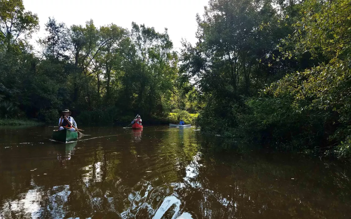
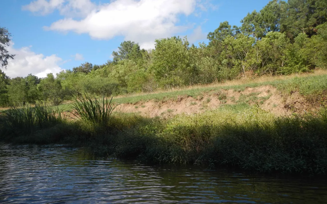
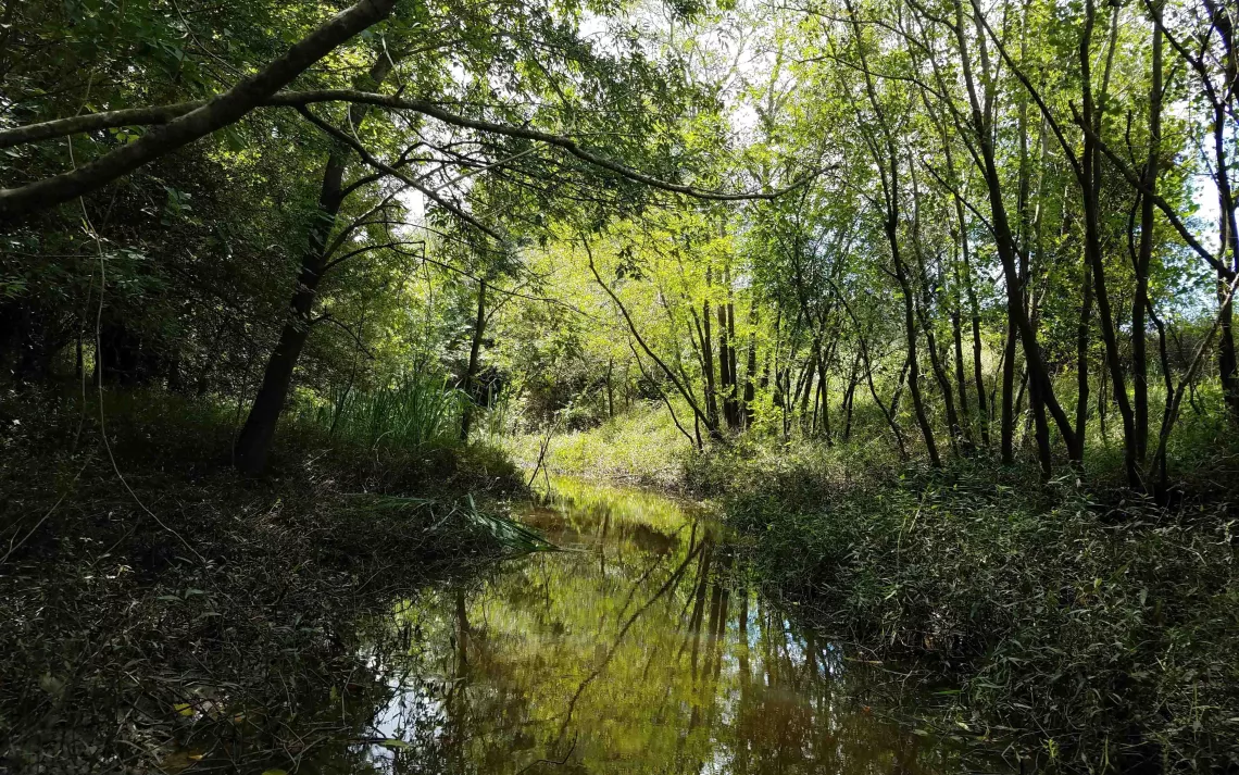
Both sides of the bayou were forested in many places, although several stretches of the west bank were still healing from the removal of trees that took place several years back. There, portions of the bank had slumped and collapsed into the channel.

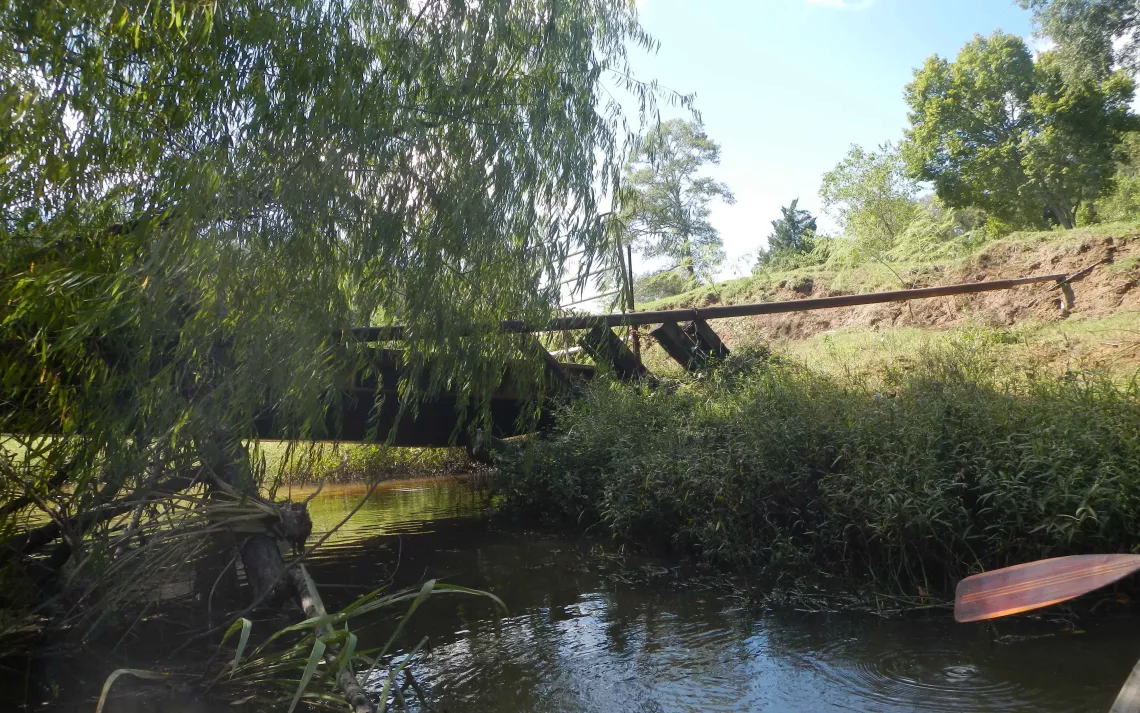
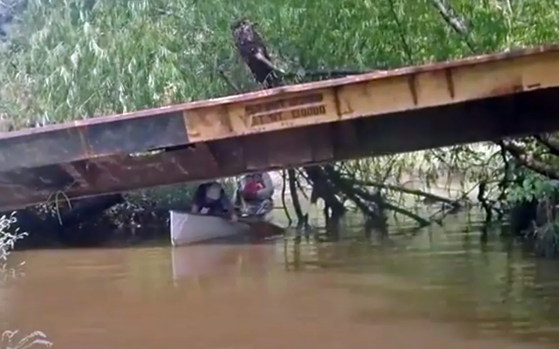
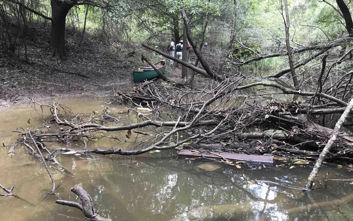
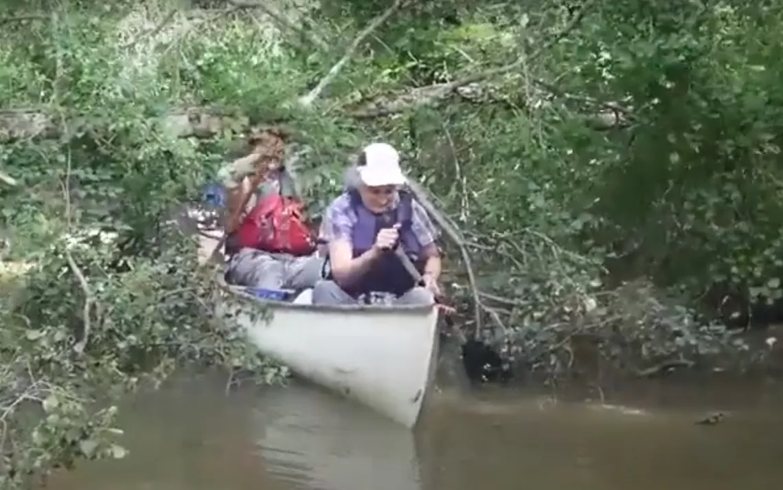
Erosion had also caused the west end of the steel bridge at mile 2.4 (see the GPS Track) to drop by several feet. Getting under it required a bit of a limbo maneuver, which John Rich captured in a video.
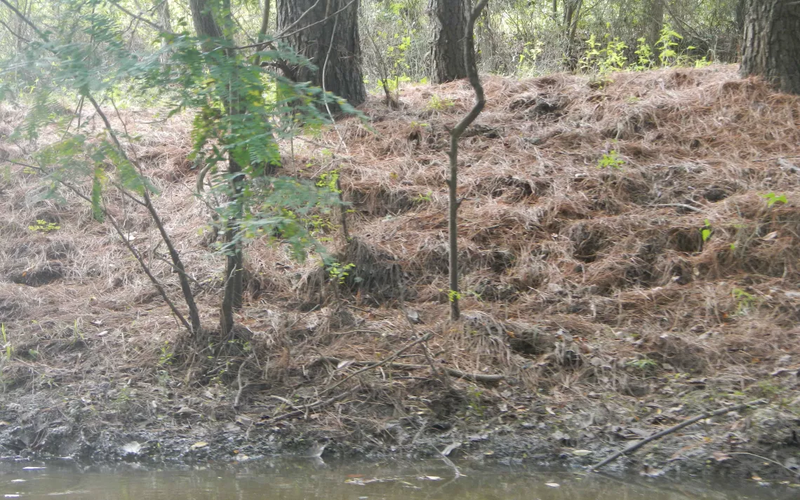
At one point, a stand of pine trees had carpeted the ground with golden needles. We negotiated several clumps of giant cutgrass (Zizaniopsis miliacea), with only one paddler experiencing a cut finger from the sharp leaf edges. Overhead, there were belted kingfishers, many golden orb weavers tending their webs, and a large flock of singing red-winged blackbirds.
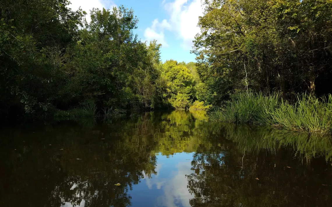
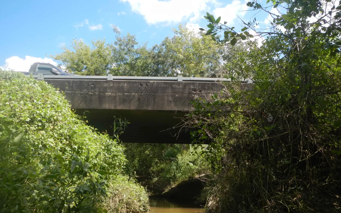
Fallen trees at mile 4.3 created the only mandatory portage on this leg of the trip. The bayou had been narrowing slowly all along, but from here on it seemed to become even more slender. Still, the depth of the channel held at around five feet. After John Rich had scouted ahead for a ways, Linda Shead and Tom Douglas decided to see whether they could make it all of the way up to Highway 562. Amazingly, they reached the bridge at mile 5.0. There, the channel was sufficiently narrow that getting the canoe turned around required lifting one end of it up onto the bank.
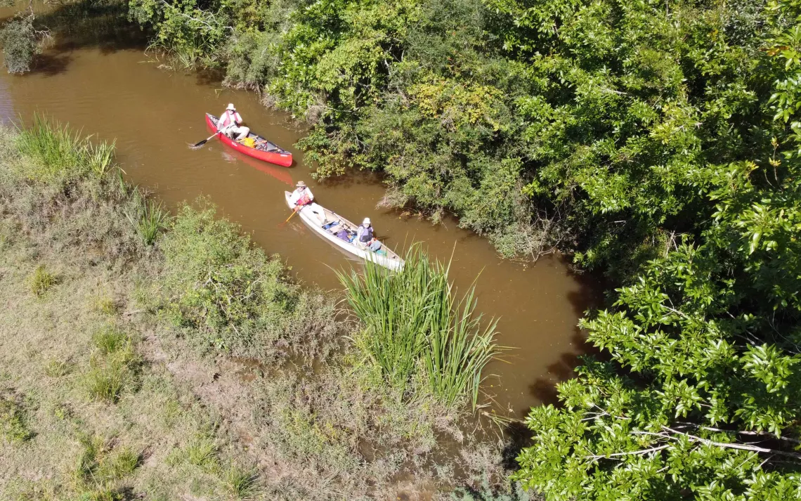
Heading back downstream, we could see that the tide was ebbing. The limbo required to get under the upper branch of the fallen tree at mile 3.3 was easier than before, but its submerged branches were now close enough to the surface to make for a tricky passage. Once again, John Rich was on hand to capture the episode on video. It had become a little easier to pass under the steel bridge, but a small fallen tree at mile 2.2 that we had nudged our way through in the morning now required a short portage. While Tyler Horne was waiting there for some of us laggards to catch up with the rest of the group, he launched a drone to catch several aerial shots of the bayou.
I don’t think that anyone was really looking forward to the scramble up the bank at the take-out, but the group worked together very effectively to get boats back up to the road and onto cars for the trip home. By this time we were all a bit muddy, but happy with the day’s 9.9-mile paddle.