What's it all about?
In a nutshell...
It’s about conserving 30% of our land and coastal water areas by 2030, hence 30x30.
Globally...
United Nations' Convention on Biological Diversity released a policy framework calling for action at the local, regional, national and global levels to protect 30% of the planet's lands and oceans to stem the loss of species, stop climate change, and prevent ecosystem collapse.
Nationally...
Within President Biden’s Executive Order 14008, January 27, 2021, Tackling the Climate Crisis at Home and Abroad, (aka America the Beautiful) there’s a call to action that we work together to conserve, connect, and restore 30 percent of our lands and waters by 2030 for the sake of our economy, our health, and our well-being. Read all about it at the Department of the Interior's America the Beautiful page.
At the California level...
California committed to the goal of conserving 30 percent of our lands and coastal waters by 2030 as part of Governor Newsom’s Executive Order N-82-20. The California Natural Resources Agency (CRNA), a state agency, is coordinating the 30x30 effort with other State agencies and stakeholders. Their web site is called CA Nature.
“Pathways to 30x30” is a document that outlines the strategy to set California on the 30x30 conservation goal. The final version was published April 22, 2022. The goal is to conserve an additional six million acres of land and half a million acres of coastal waters.
This site also includes the links to the 30x30 Virtual Expo Series featuring videos about programs, funding, and other resources available to reach California’s 30x30 goal.
AB2278 was signed into law in 2022 and requires California to implement its Pathways to 30x30 Strategy and the goal to conserve 30% of our lands and waters by 2030. It also establishes annual reporting to the Legislature on 30x30, providing transparency so the Legislature and public are informed about California's progress. Importantly, this bill ensures that 30x30 will persist in California until 2030 even as administrations change. The bill was sponsored by Audubon.
Toiyabe Chapter
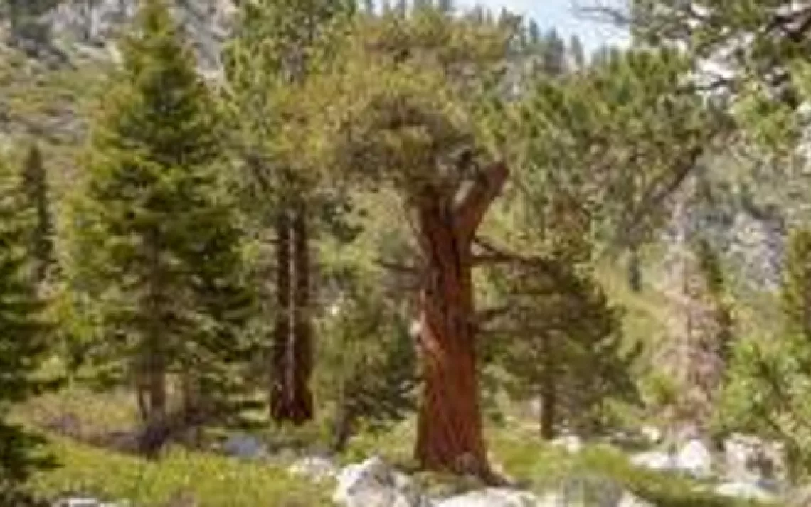
It's Time to Protect 30% of the Planet by 2030
Locally...
The Range of Light Group has identified a short list of local priorities:
Our 30x30 Priorities
Local conservation efforts for 30x30 help:
-
Identify unprotected or at risk lands and waters with little to no protection
-
Identify the need for new parks, open spaces and habitat reserves in and near nature-deprived communities
-
Increase existing protections where needed
-
Prioritize ecological restoration
-
Advance Native sovereignty and land stewardship
-
Further the effort to meaningfully increase equitable access to natural spaces
Range of Light Group’s Top Ten, Plus...
Local conservation priorities are used to create a list of critical lands and waters to present to the California Natural Resource Agency (CNRA) for consideration in the effort to conserve 30% of California’s lands and waters by 2030. The Range of Light Group and the Sierra Club have been contributing to this effort since the beginning. Members of the Range of Light Group suggested the following areas for consideration:
Bodie Hills
Watch a zoom called "The Harms of Exploratory Drilling," which highlights the ongoing drilling sites in the Bodie Hills of California/Bodie Mountains of Nevada.
The Bodie Hills is an area of incredible biodiversity and beauty located in Mono County near the town of Bridgeport. It is the ancestral homelands of the Northern Piute. The Bridgeport Indian Colony, a federally recognized sovereign Indian tribe of California, today consists of decendents of Miwok, Mono, Paiute, Shoshone, and the Washoe tribes. The Bodie Hills Conservation Partnership (BHCP) is a coalition of organizations working toward the permanent protection of the Bodie Hills, an American treasure with exceptional scenic, historic and recreational values. The Bodie Hills Conservation Partnership is working to create a healthy, sustainable future for the Bodie Hills that combines conservation and access, honors tradition and promotes the region's scenic beauty. It's one of the last strongholds for the the bistate sage grouse, hosts five different species of rabbits, and one scientific study documented more than 100 unique species in the Bodie Creek habitat. The area includes lands managed by both the Bureau of Land Managment (BLM) and the Humboldt-Toiyabe National Forest. Read more about mining efforts in the Bodie HIlls/Mountains.
Conglomerate Mesa (22,500 acres)
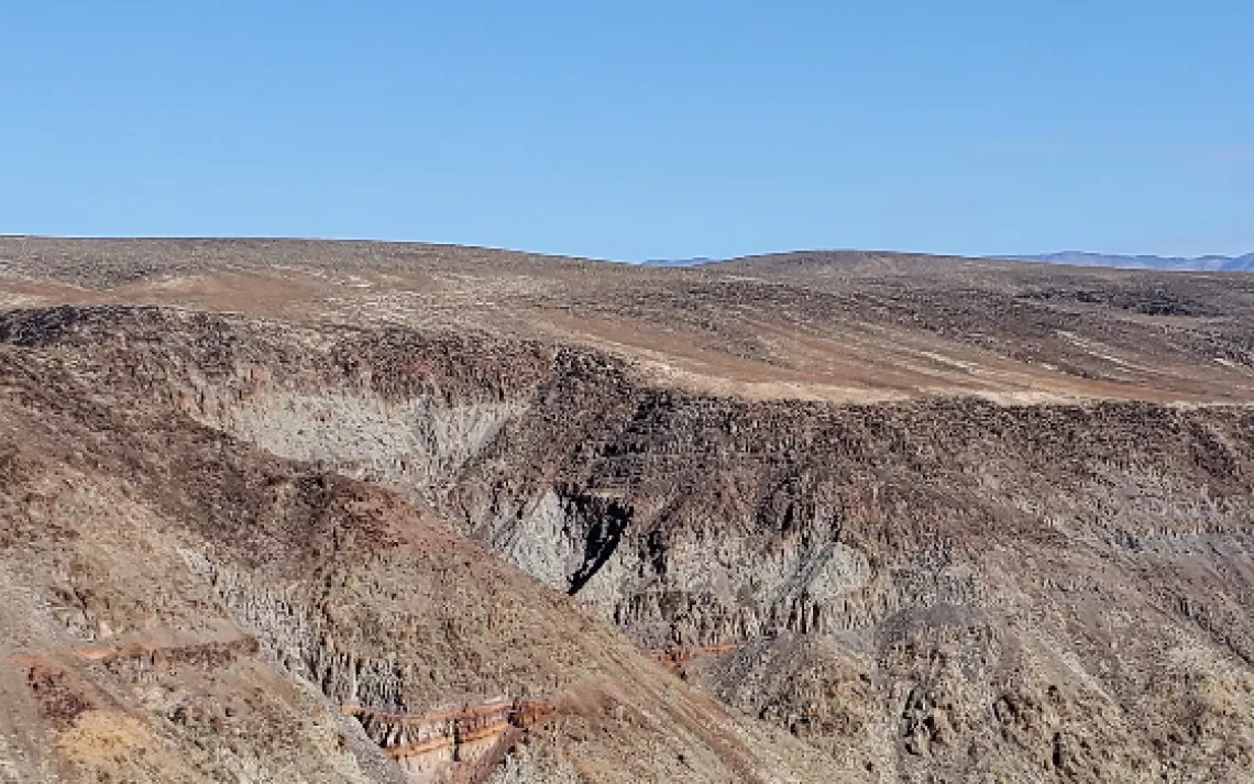
Conglomerate Mesa is an area atop the Inyo Mountains above Owen's Dry Lake Bed in Inyo County. The area is part of the ancestral homelands of the Paiute (Nüümü), Shoshone (Newe), and Timbisha Shoshone Nations. To this day, Conglomerate Mesa and the surrounding region is utilized by Nüümü, Newe, and Timbisha Tribal nations from Payahuunadü/Panawe for many purposes including exploration, hunting, and pinyon nut gathering. The Protect Conglomerate Mesa is a coalition formed to gain permanent protection for the area. It is home to the Inyo Rock Daisy, which was granted temporary protection under the California Endangered Species Act by the California Fish and Game Commission on August 17, 2022. There are 12 rare species there; to learn more, view the Botanical Wonders of Conglomerate Mesa presentation. The area is managed by the BLM and is within an area of critical environmental concern. Read more about the proposed mining efforts in the area.
Panamint Valley
Located on the northwest edge of Death Valley, this area is flanked by Panamint Ridge and includes Panamint Springs, dunes, and Rainbow Canyon.
Amargosa Basin
From its vital natural resources to its storied history, the Amargosa Basin is a truly special place. This beautiful desert landscape, nestled between Death Valley and the Mojave National Preserve, is home to diverse plant species, endemic and threatened wildlife, vibrant communities, and significant Native American and European history and culture. It has been called the crown jewel of the Mojave Desert because it has a unique feature rarely found in the desert: a beautiful river supporting abundant resources and lively ecosystems. This includes species such as the desert tortoise, bighorn sheep, and is home to 24 rare, threatened, or endangered plant species, including three that are listed federally. Archaeological sites indicate that the area has been continuously occupied by indigenous peoples for at least 12,000 years. It is home to the Southern Piute, including the Pahrump and Moapa tribes. The Friends of the Amargosa Basin are working towards making the area a national monument. It encompasses land managed by the BLM, National Forest, private landowners, and includes several wilderness areas.
Sweetwater Mountains
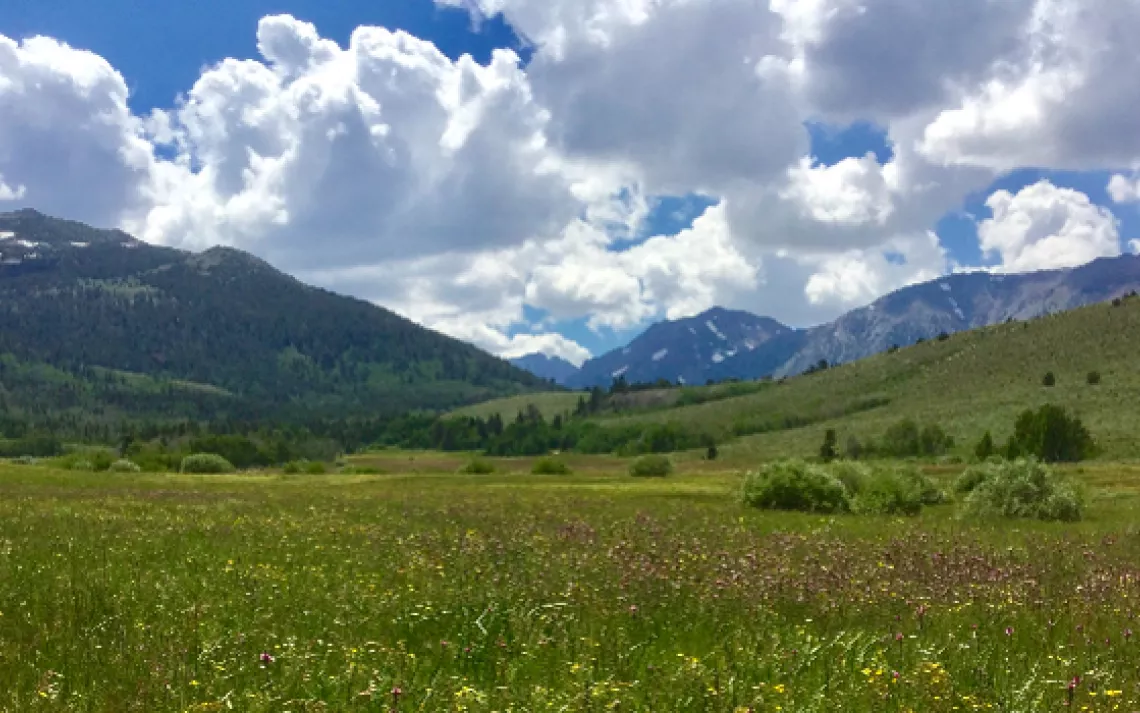
The Sweetwater Range is an area in Mono County, north of Bridgeport, that includes rolling hills and butterfly filled meadows, buteos, prickly poppies, forests, cottonwood streams, a man-made lake that's fading fast, and access to 10,000 and 11,000-foot peaks. It includes areas managed by the Humboldt-Toiyabe National Forest and California Department of Fish and Wildlife.
Glass Mountains (17,444+ acres)
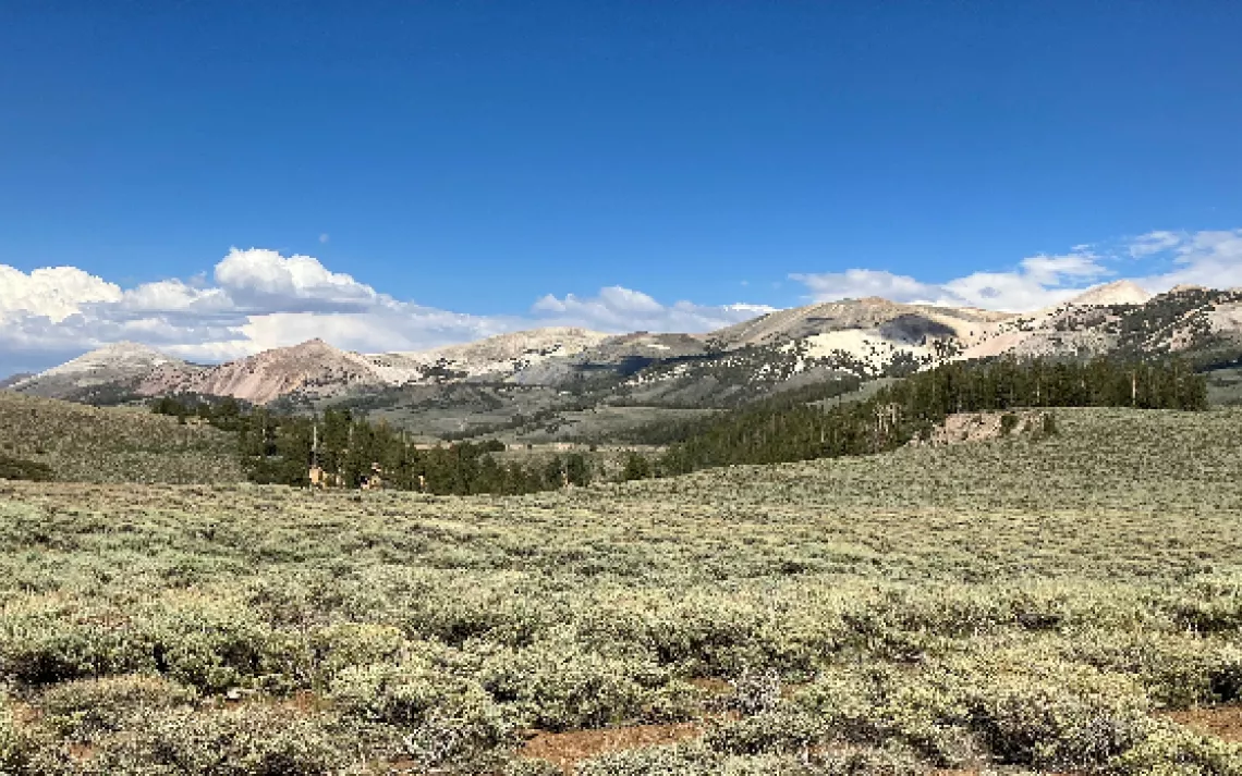
The Glass Mountains are located in Mono County and this potential wilderness forms the northeastern rampart of the Long Valley Caldera. Mammoth Mountain is on the northwest edge of the caldera. The spring-fed creeks, abundant meadows, and aspen groves in this desert region are sustained by Pacific moisture that streams through a low point in the high Sierra crest. The area supports part of the largest Jeffrey pine forest in the world, uniquely mixed with pinyon, mountain mahogany, lodgepole, limber, and whitebark pine. Sagebrush steppes, steep-walled canyons, and high volcanic ridges add to the area’s ecological diversity, which includes ecosystems underrepresented in the wilderness system. The entire area is an important migratory corridor for wildlife and plants between the Sierra Nevada, White Mountains, and Great Basin Desert. The threatened Lahontan cutthroat trout was recently established in O’Harrel Canyon and the area supports the sensitive sage grouse. This area is within the Inyo National Forest.
Solitude Canyon
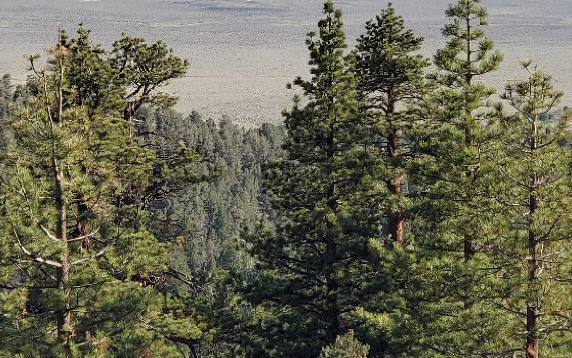
Solitude Canyon is a critical migration corridor for the largest mule deer herd in the central Eastern Sierra. Mule deer use this corridor during their spring and fall migrations to reach the high Sierra meadows. Some deer birth their fawns and spend the summer in the canyon. It is an incredibly diverse old-growth conifer forest with Jeffrey pine, western white pine, whitebark pine, red and white fir, lodgepole pine, Sierra juniper, and mountain hemlock. It is unusual to see stands of western white pine that are found here. There’s aspen and willow in the talus areas. There’s limber pine on the crest. Pikas live in the rock jumbles. There is a potential for the Sierra Nevada Red Fox, a candidate endangered species, to use this habitat.
Dunderberg Front Country/Jordan Basin
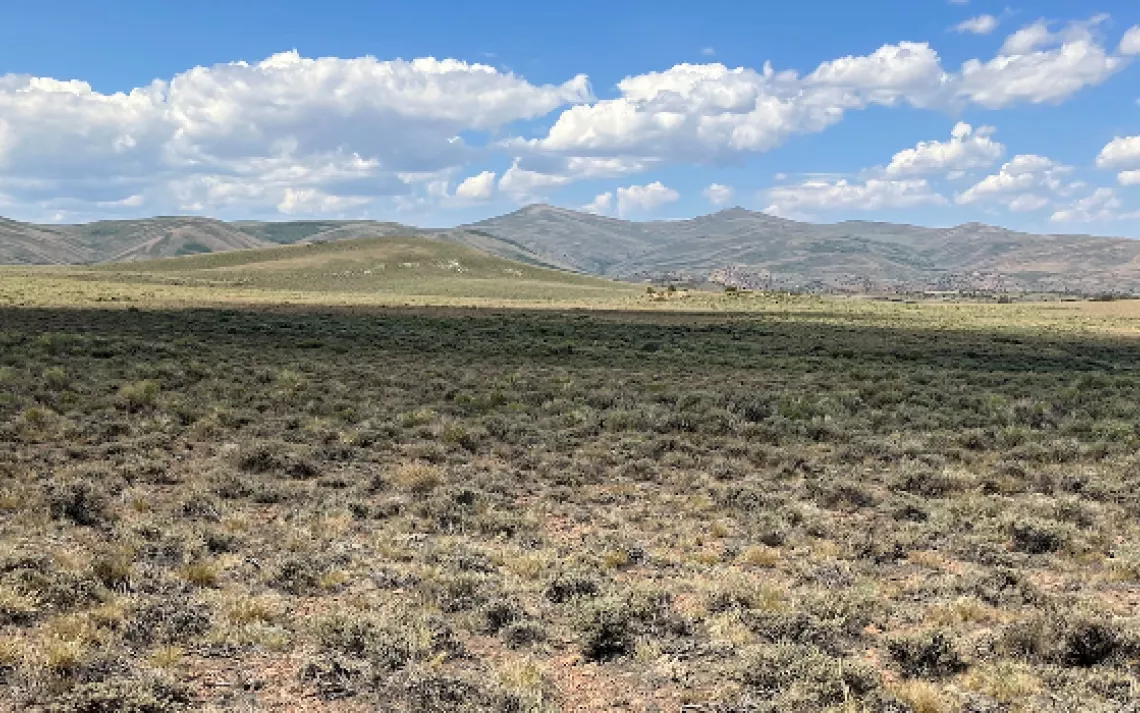
The forests, meadows, and riparian areas above the Bridgeport Valley are threatened by cattle grazing. These areas once included sheep grazing, and currently allow for hiking, camping, bird watching, sightseeing, and cross country skiing. This area includes the Conway Summit Area of Critical Environmental Concern. Read more about Bridgeport Southwest Rangeland Project.
Deep Springs North (34,164 acres)
A primitive road separates this area from the White Mountains potential wilderness additions to the north. As such, Deep Springs area is part of the critical wildlife migration connection between the White and Inyo Mountains. It also includes ecosystems unrepresented in the Wilderness System The area is home to one of the few black toad populations outside of Deep Springs Valley and it also supports ancient bristlecone pines and the sensitive Townsend’s big-eared bat. A unique feature is the Birch Creek granite batholith, which is surrounded by sedimentary formations. The area provides primitive and unconfined recreation opportunities. The Deep Springs College archives includes photos of a Piute villiage in the Deep Springs Valley area in 1919. Deep Springs lies within the treaty territory of the Western Bands of the Shoshone Nation of Indians (Timbisha Band of Western Shoshone Indians).
Long Valley and Hot Creek
Long Valley Caldera Presentation (May 18, 2023)
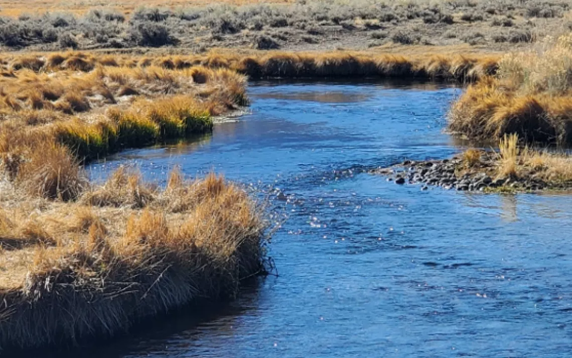
Long Valley Caldera in Mono County is a multi-use area popular for fly-fishing, hiking, camping, sightseeing, mountain biking, hot-tubbing, cross-country skiing, snoeshoeing, birdwatching, and OHVing. It includes the popular Hot Creek Geological Site, Hot Creek Fish Hatchery, Lake Crowley, and is home to the bi-state sage grouse. It also includes cattle ranching and wildflowers. Long Valley is part of the homelands of the Piute-Shoshone who were violently displaced by White settlers. The Keep Long Valley Green coalition is dedicated to persuading the LADWP to provide a sufficient, binding water supply each year to keep these areas green, which will help sustain a healthy environment and a visitor-based economy. Read more aboutt mining and water use issues.
Fish Slough (39,448 acres)
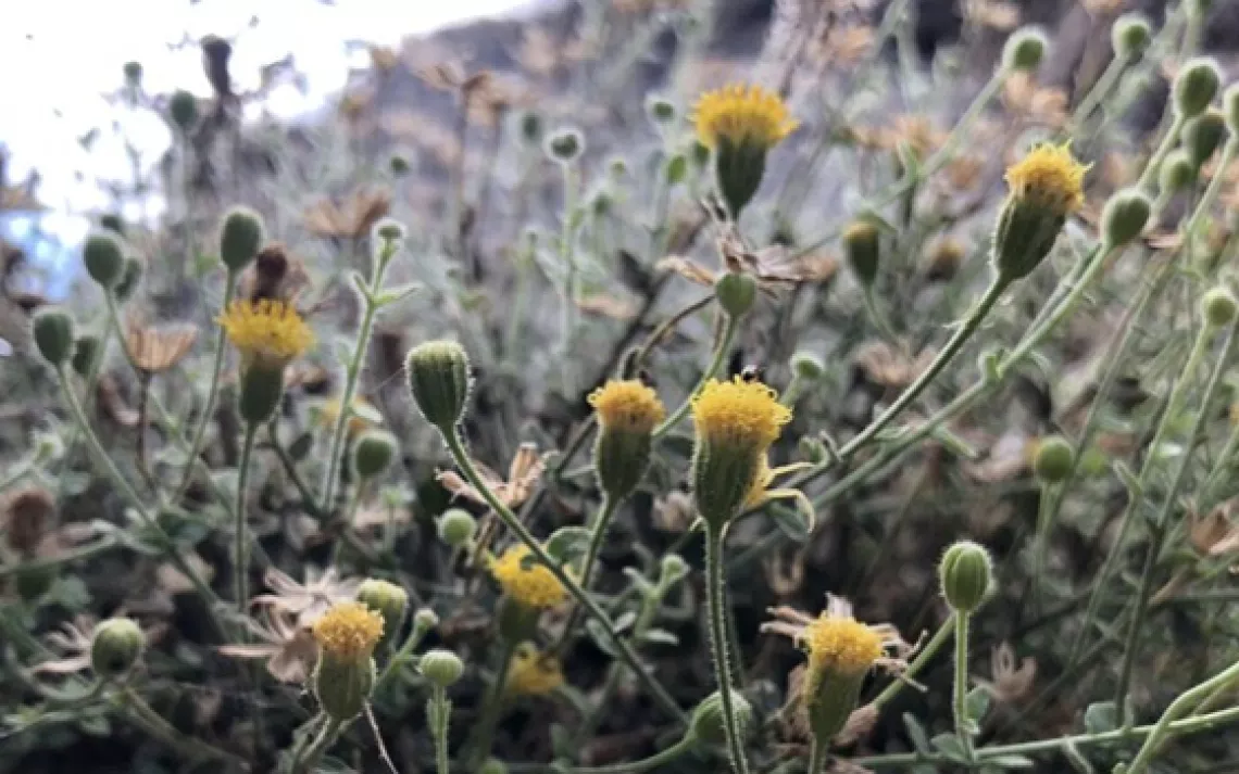
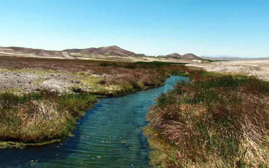
Springs in this area north of Bishop, California, are home to the endangered Owens River Pupfish. The flat valley floor lies between the Volcanic Tablelands to the west and a ridge of low buttes to the east. In the spring, this slough turns green and is alive with birds, bees, butterflies, and other wildlife. In winter it turns golden with lacy-top reeds interspersed with patches of rust-colored marsh marigolds. Many endangered and sensitive species live there: Fish Slough springsnails, Fish Slough milk-vetch, Silverleaf milk-vetch, Hot Springs fimbristylis, Alkali ivesia, Inyo phacelia, Inyo star tulip, and Owens Valley checkerbloom. Fish Slough water is caught inbetween a rock and a hard place as ranchers, farmers, and residents in the Tri-Valley water district pump groundwater and anything that escapes down aquifer gets sucked up by that water district from Southern California. This area is also included in the Piute-Shoshone homelands as evidenced by petroglyphs in the area. Fish Slough is mostly within Mono County (a lit bit is within Inyo County) and managed by the BLM and is designated an area of critical environmental concern. Read more here.
California Gold Cyanidation Ban
In addition to the conservation of specific places, the Range of Light Group has been looking for ways to discourage exploratory drilling for gold in the Eastern Sierra. One possible way would be a statewide ban on the use of cyanide in the extraction of gold from ore. A California Gold Cyanidation Ban is just a hope in our collective green hearts, but we ask you to join us in investigating this possibility.
**REGISTER HERE for a presentation about why we don’t really need gold, we just think we do, and we will explore the harms gold mines inflict on landscapes, water supplies, biodiversity, and the carbon footprint -- all for very little reason. April 25, 2023, 6:30 - 8:00pm