By Tom Douglas
On November 16, our group of paddlers met up at Hugo Point Park, which is about a mile south of the community of Cove, TX. The trip was organized by Joe Coker on behalf of the Houston Canoe Club.
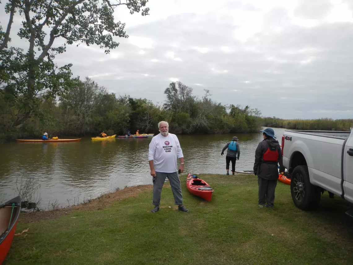
Trip Leader Joe at Hugo Point Park, by Tom Douglas
The park is on federally owned land, which, but for the intervention of the Sierra Club and other conservation organizations, would have been at the western terminus of the never-completed, 7.4 miles long Wallisville Dam (shown as a dark, curved line on the map).
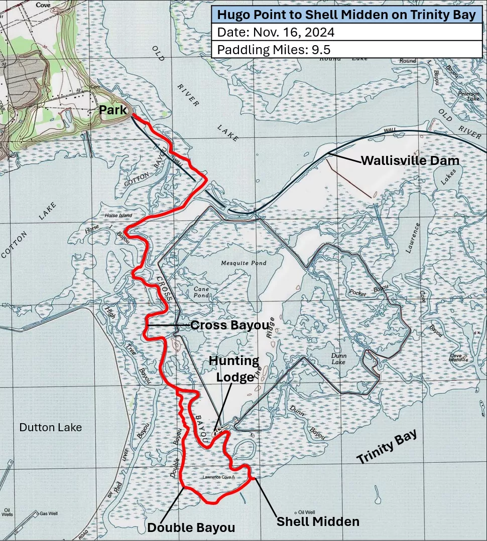
Our Paddling Route, from USGS Topographic Maps*
We began our paddle by heading down Cotton Bayou.
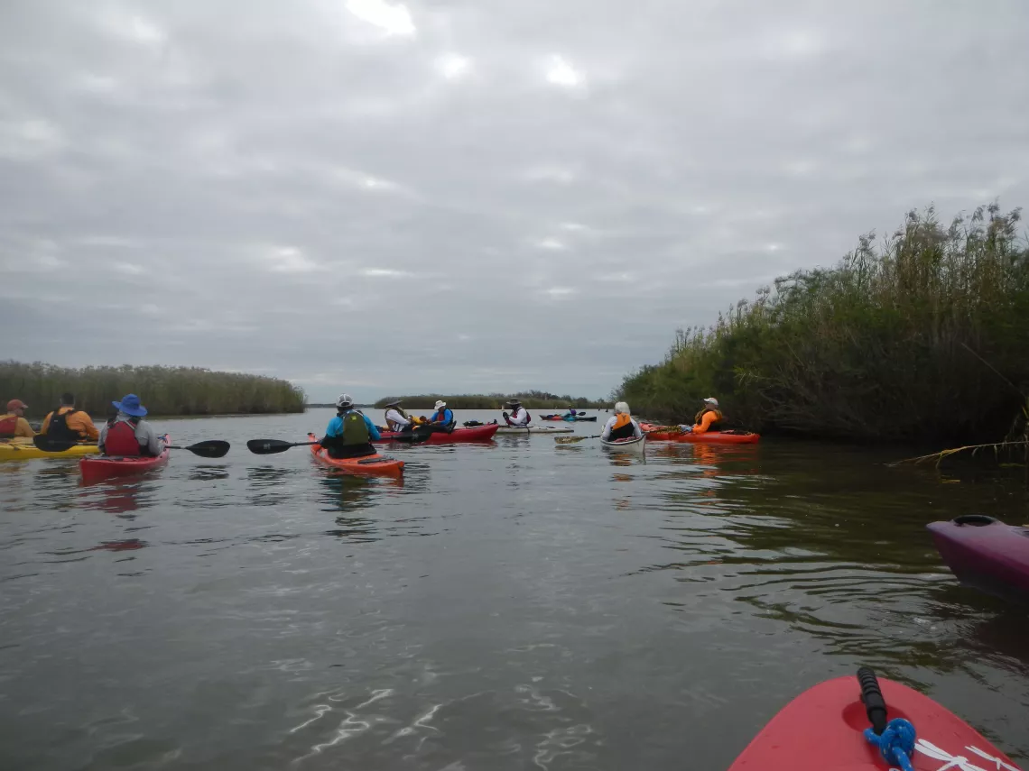
Down Cotton Bayou, by Tom Douglas
Having passed by the point where Cotton Bayou had been closed off by the part of the Wallisville Dam that had been put in place before its construction was halted, we continued to the southeast along a small channel that skirts the western shore of Old River Lake. Turning to the right at Cross Bayou, we made a brief visit to a concrete tower that was originally intended to be part of a control structure for the dam. A little over two miles down Cross Bayou, we waved to fishermen at what is now the Cajun Outback Hunting Lodge. Here and there, we saw the trunks of large cypress trees that had been carried by flood waters for miles from the swamps in the upper Trinity River delta.
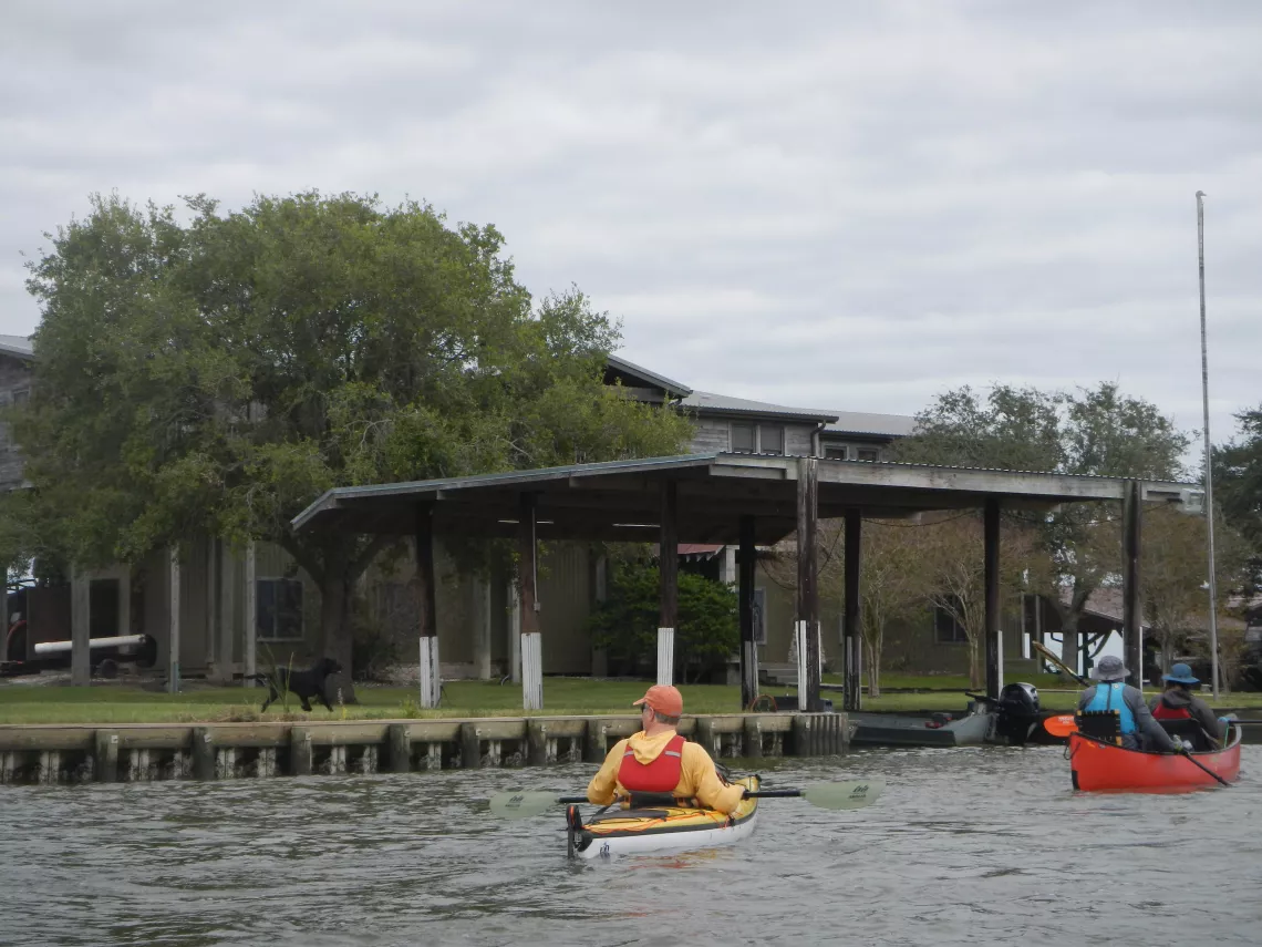
At the Hunting Lodge, by Tom Douglas
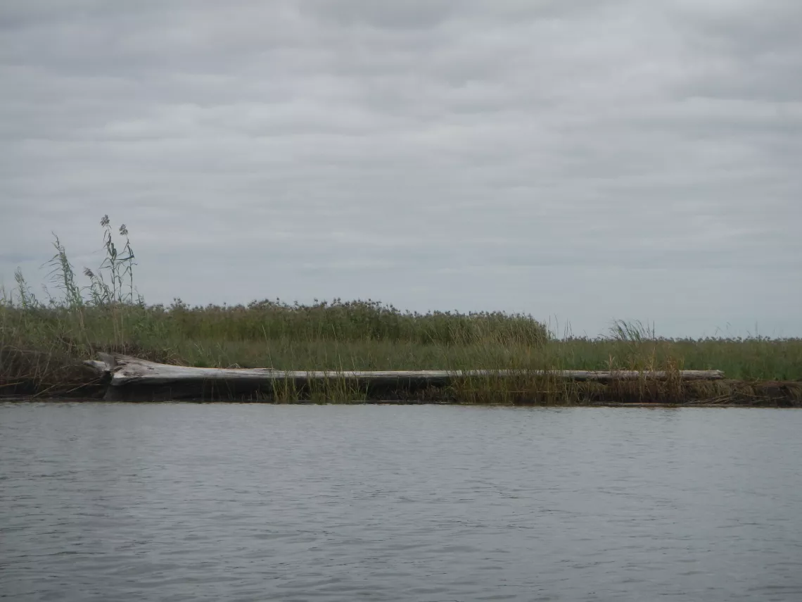
A Tree from Far Upstream, by Tom Douglas
As we approached Trinity Bay, we came into sight of an impressive mound of Rangia clam shells that stretches for hundreds of feet along the bayfront and up into the bayou. Several feet in height, the shell midden showed clear signs of having been reworked by the force of storm waves coming in from the bay.
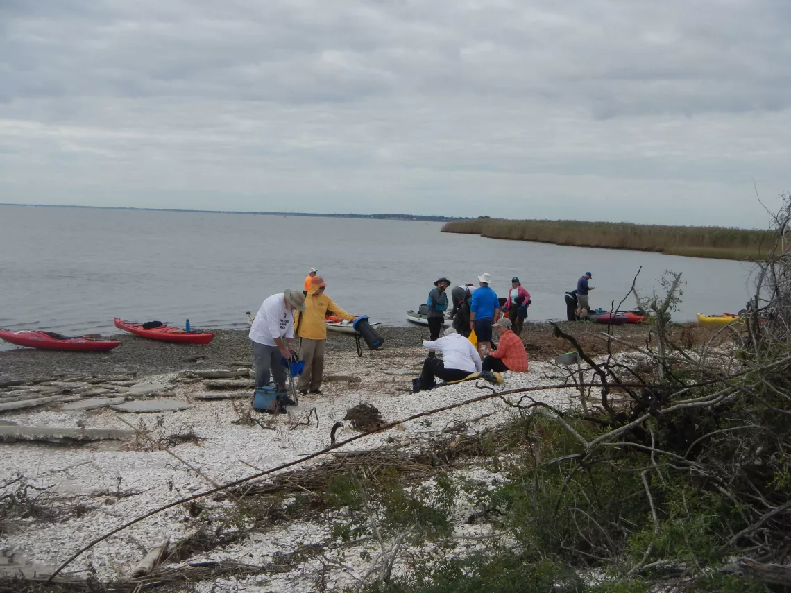
Coming Ashore, by Tom Douglas
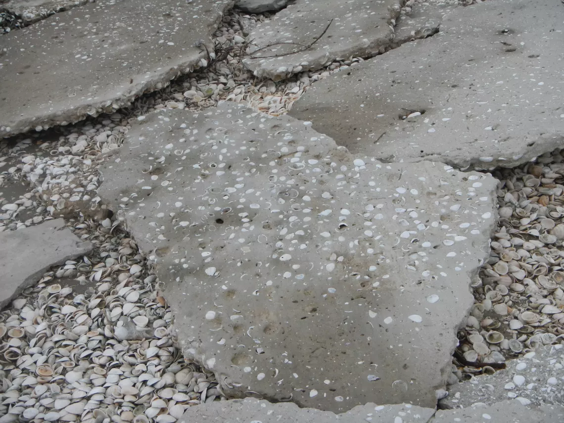
Sandstone Shattered by Storms, by Tom Douglas
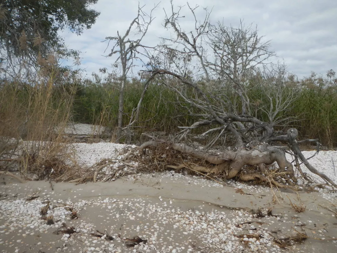
A Tree Upturned by Storms, by Tom Douglas
Knowing that winds were forecast to increase in the afternoon, we departed our lunch stop at the shell midden while the bay waters were still calm. As we approached Double Bayou, the water became shallow enough that the tops of abandoned crab traps became visible above the water’s surface. Then, for the last several hundred feet, we were obliged to hike and pull our boats up into Double Bayou.
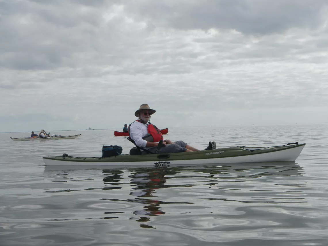
Calm Seas on Trinity Bay, by Tom Douglas
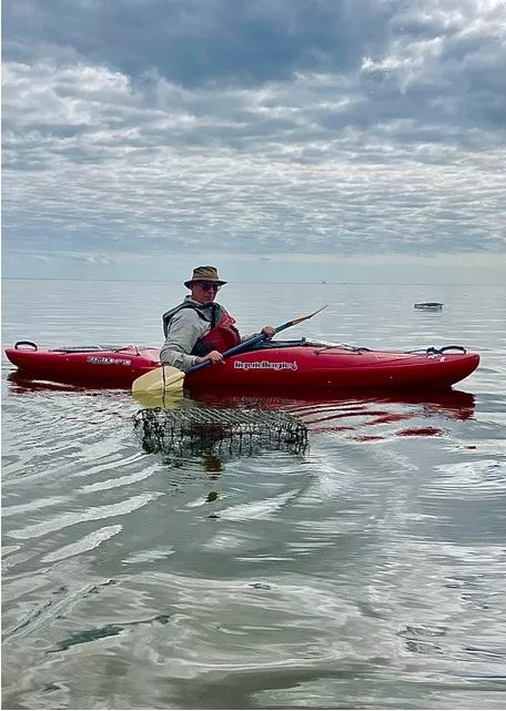
Abandoned Crab Traps, by Joe Coker
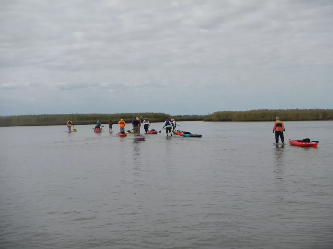
Hiking into Double Bayou, by Tom Douglas
We experienced, on a very small scale, the same process that created the entire Trinity River delta. Flow in the river slowed as it approached the bay, allowing suspended sediments to settle. This led to the development of sandbars and eventually to the creation of the maze of diverging channels that includes Cross Bayou (shown on the right) and Double Bayou (shown on the left).
On our way up Double Bayou, we saw several wading birds such as great egrets.
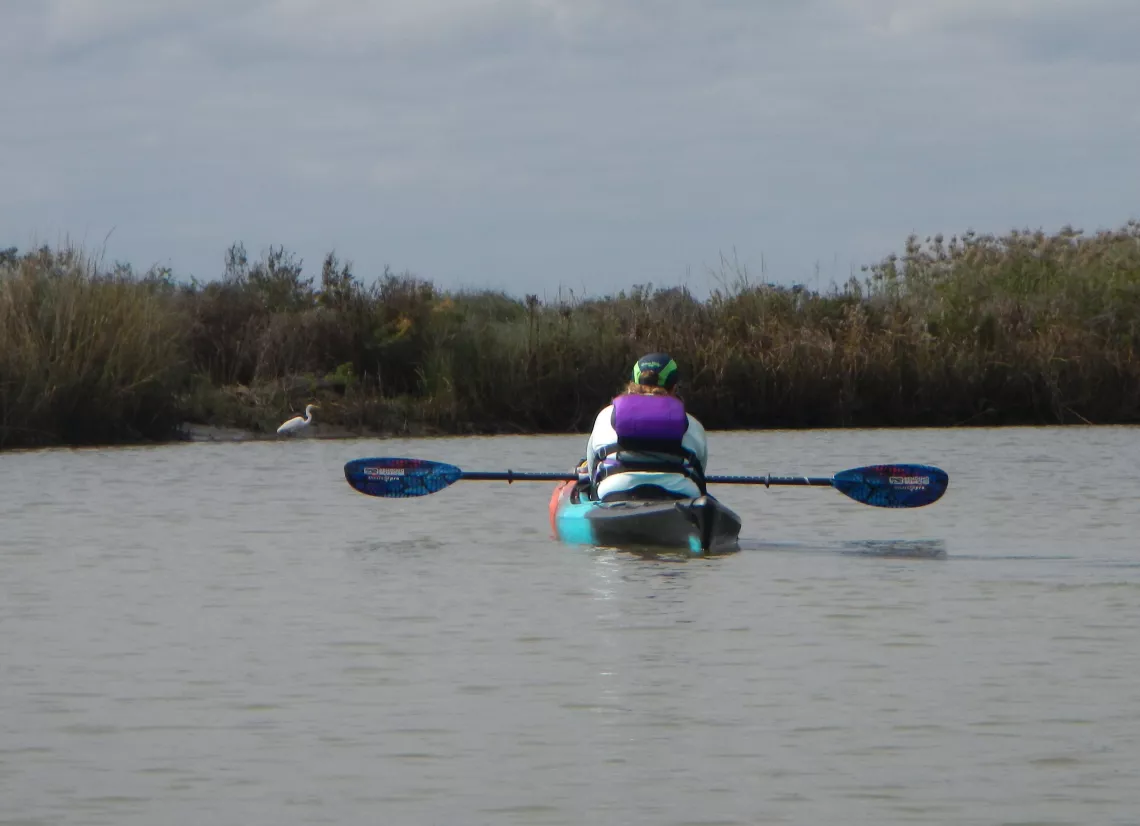
Paddling Up Double Bayou, by Tom Douglas
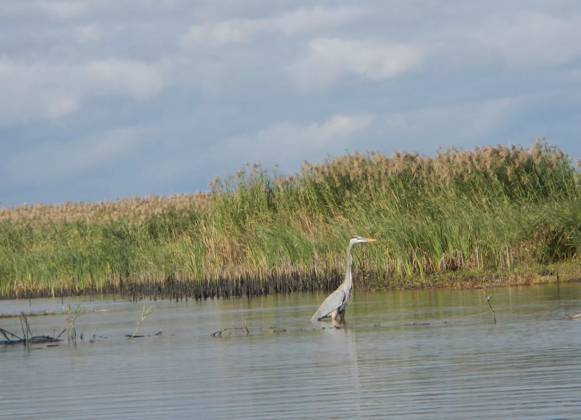
Winds didn’t present a problem until we reached the northernmost stretch of Cross Bayou, where we encountered a strong headwind. At the much-awaited left turn into the more protected small channel that leads back to Cotton Bayou and Hugo Point, we were greeted by our good luck charm, a great blue heron.
Back at Hugo Point Park, our group members were very good about helping each other with getting their boats safely out of the water and loaded up for the return trip home.
*Map of the paddling route from National Geographic’s Texas: Seamless USGS Topographic Maps on CD-ROM, 2001.
To view more photos from this trip, check out the photo albums posted by Joe Coker and Tyrone White.
Photos by Tom Douglas and Joe Coker.