Monster Fire in the Santa Monicas
Climate change, development, and drought combine in a deadly way

Palm trees near a home above Pacific Coast Highway in Malibu, California. | Photo by AP Photo/Reed Saxon
Merging onto the U.S. 101 freeway, I glance into my rearview mirror and see nothing—none of the Teslas and SUVs, Harleys and semis that typically clog this stretch of freeway along the affluent western edge of Los Angeles. Behind me, through a scrim of smoke, eight miles of the 101 had been shut down after the Woolsey Fire jumped the freeway, continuing its march through the Santa Monica Mountains all the way to the Pacific Ocean in Malibu.
Now, to paraphrase Warren Zevon, I’m sitting in a Hollywood boutique hotel and listening to the air conditioner hum. The freeway reopened yesterday, but the fire has burned for six days, and my wife and I are into the fourth night of a mandatory evacuation from our suburban Calabasas home.
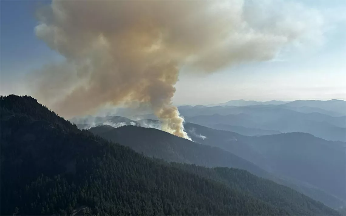
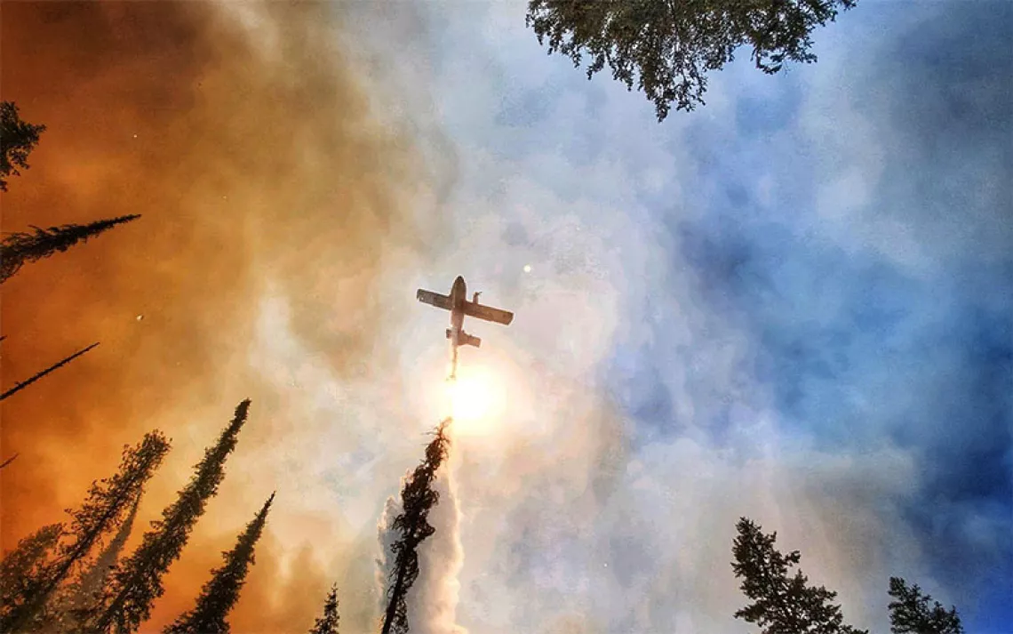
The Woolsey blaze has led to the evacuation of 250,000 residents and burned through 150 square miles of the Santa Monicas, the small but globally significant range that stretches westward for nearly 50 miles across the Los Angeles metropolitan area, from near downtown to the Ventura County coast. Of all the sights I’ve witnessed during the fire—the plume of smoke rising like a giant cumulus cloud thousands of feet above my neighborhood, a DC-10 carrying flame retardant roaring a few hundred feet overhead as I hiked on a nearby ridgeline—none felt more surreal than this ghost freeway.
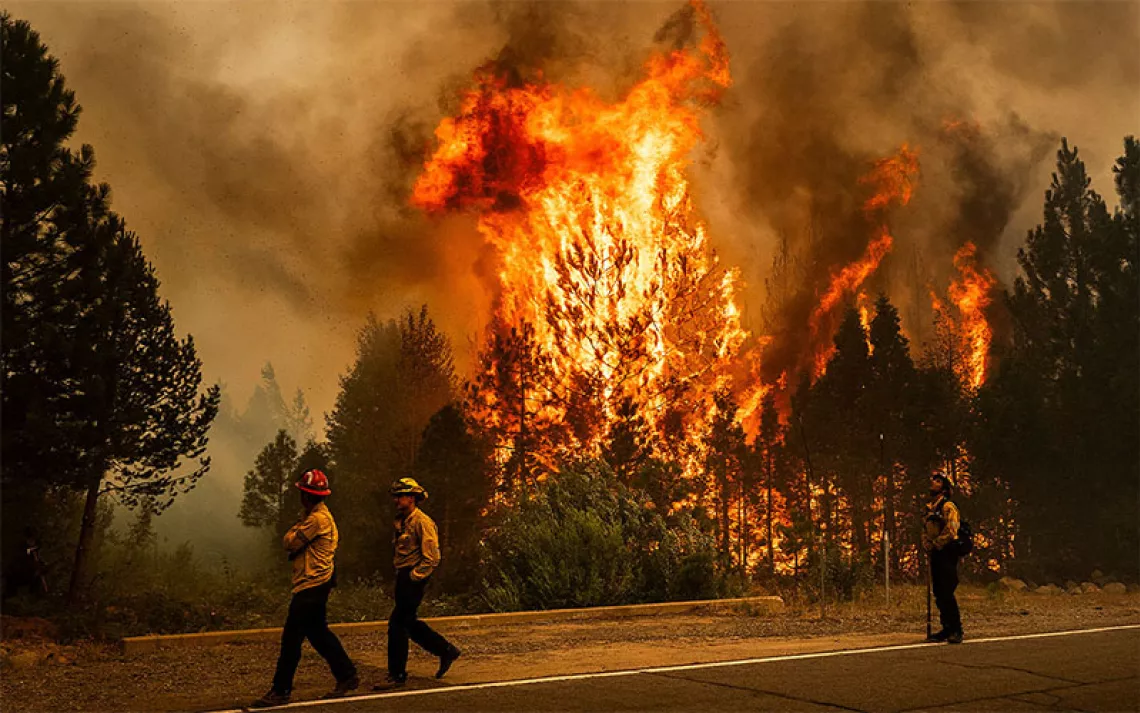
It takes a lot to shut down a freeway in these parts, but the Woolsey Fire is an unprecedented disaster. It now ranks as the second largest in the modern history of the mountains, behind only the 115,500-acre Clampitt Fire in 1970. That fire destroyed 80 structures; the Woolsey blaze has burned at least 435, a number that could rise. The key difference is that in the interim, both upscale development and classic suburban subdivisions have pushed deeper into these mountains, one of the world’s most volatile fire regimes.
If not exactly designed to burn, the Santa Monica range’s native chaparral and coastal sage scrub communities are well-adapted to periodic fires in this classic Mediterranean ecosystem with distinct wet and dry seasons. Chaparral is not a single species but a grouping of evergreen plants—including ceanothus and chamise—that share common characteristics: tough small leaves to limit evaporation, woody bark, and the ability to resprout from burned stumps following fires. Areas of non-native grasses in the Santa Monicas burn with greater frequency and can torch the chaparral. Once that happens, fallen leaves beneath the chaparral stands and dead wood on individual plants add more fuel, and the amount of energy released during chaparral blazes can be 80 times more intense than grassland fires. Hence that apocalyptic plume of smoke.
While there are impressive trees scattered in these mountains—coast live oaks and valley oaks, as well as sycamore and isolated bigleaf maple—the Santa Monicas are in no way a forest. Nor was the Woolsey Fire, by any definition, a forest fire, despite what President Trump might assert in his cynical effort to score political points.
Wildfire is an integral part of the life cycle in these mountains, but the Woolsey Fire was no natural disaster. Rare natural ignition sources play a small role in the range; lightning-caused fires here burned just over 600 acres during a 30-year period, according to Santa Monica Mountains National Recreation Area.
Big fires in the Santa Monicas are invariably caused by humans, both deliberately and accidentally. Arson has been a major issue, but the 2013 Springs Fire, which burned 24,238 acres in the western range, was set off by a spark from a vehicle. Downed power lines and sparks from utility electrical equipment—an early suspect in the Woolsey Fire—have set off numerous conflagrations in the past.
Add Santa Ana winds—the infamous hot, dry gusts that blow out of the inland west and through the north-to-south-oriented canyons of the Santa Monicas, desiccating vegetation and gaining speed as they go—and you have the perfect scenario for conflagration.
On top of all, of course, is climate change. Rainfall varies widely in the range, depending on topography, but unusually dry conditions have prevailed in the Santa Monicas during recent years. Based on rainfall totals for Los Angeles since 1877, 11 out of the last 15 years have seen below-average rains. During the 2006–2007 season, only 3.21 inches of rain fell, the lowest ever recorded.
To put that into perspective, Death Valley, the driest spot in North America, averages 2.36 inches annually. Less than three-quarters of an inch of rain has fallen since March in Los Angeles, meaning that the Santa Monicas were at their absolute driest when the Woolsey Fire began.
Autumn, the prime season for Santa Ana winds, is the most dangerous time for fires in the Santa Monicas, but the range is now at risk virtually year-round. The Springs Fire burned in May, and the June 2016 Old Fire charred stands of century-old chaparral a block from our house after a driver crashed and knocked down a power pole.
The Woolsey Fire coincided with the 40th anniversary of the establishment of Santa Monica Mountains National Recreation Area, considered the world’s largest urban national park. The Los Angeles Times reports that as of November 13, the fire had burned 83 percent of it. In normal times, assuming the rains finally arrive, the mountains will begin their recovery. Come spring in the burn areas, there might be spectacular wildflowers and the high green of fresh growth. But just how the mountains will rebound in this age of hotter and drier conditions is the great unknown. The landscape has been reset. Once the fire is officially extinguished—and it is only 35 percent contained at press time—it will be Day 1 for the Santa Monica Mountains.
 The Magazine of The Sierra Club


