Rapid Returns
As Lake Powell shrinks due to drought, once-drowned canyons and rapids are coming back to life
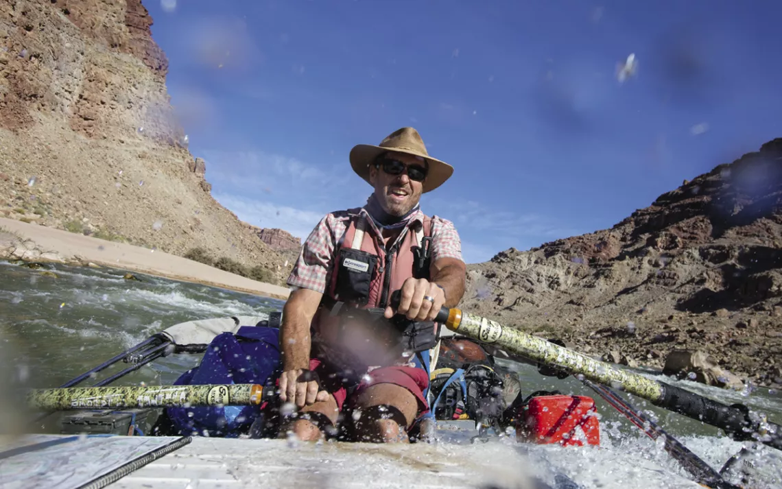
Climate scientist and ecologist Seth Arens navigates the Big Drop rapid. | Photos by Paul Richer
The last time I'd passed through the lower reaches of Utah's Cataract Canyon, the stagnant backwater of Lake Powell had lapped the canyon, wall to wall. In the 1990s, I worked as a whitewater rafting guide on this stretch of the Colorado River, where during weeklong expeditions rafters got to experience epic canyon vistas, driftwood-lined beach campsites, and roller-coaster rapids. Each time we reached river mile 66, the current sagged into the massive reservoir and expired. We would store our oars, attach an outboard, and sullenly motor the last 20 miles past drowned side-canyon grottoes and channel buoys ringed with scum. Often, we'd pause to visit a petroglyph panel likely carved by Ancestral Puebloan people hundreds or even thousands of years before—spirals, riverine squiggles, and surreal trapezoidal humanoid figures. We'd nose our raft right up to the panel, which had once been high above the river. Other petroglyphs, we knew, remained submerged below the murky waterline.
More than 20 years later, I returned to discover a place transformed. At one section of the river, where before there was only a dead pool, now there was a sandy beach and a rollicking rapid named Gypsum. Bright yellow-green willows lined the high-water mark, and red canyon walls towered more than a thousand feet above. It was disorienting, because the last time I'd been there, I had motored along the river's flaccid surface 80 feet overhead.
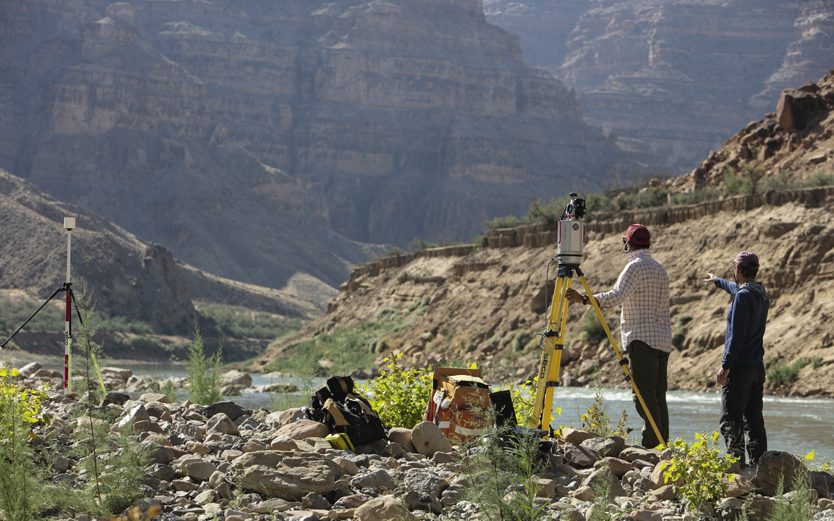 Researchers with the US Geological Survey study the canyon's hydrology.
During those intervening decades, the water level of Lake Powell plummeted to just one-third capacity. It was drawn down by the multitudes living in the Colorado River basin, the millions of acres of farmland, and a 20-year drought that has shrunk runoff in the watershed by a fifth. The reservoir retreated 40 miles down the canyon, revealing a river striving to free itself from the vast quantities of sediment left behind.
Last year, I returned to Cataract Canyon as a member of a seven-day autumn expedition with scientists who were interested in how, and how quickly, the river is changing. "Cataract Canyon was known as the Graveyard of the Colorado," said my friend Mike DeHoff, the trip's leader. Early river runners named it for the many boats that were broken and sunk in the canyon's formidable rapids. "Of course, once the dam went in, it came to mean something else entirely," he said.
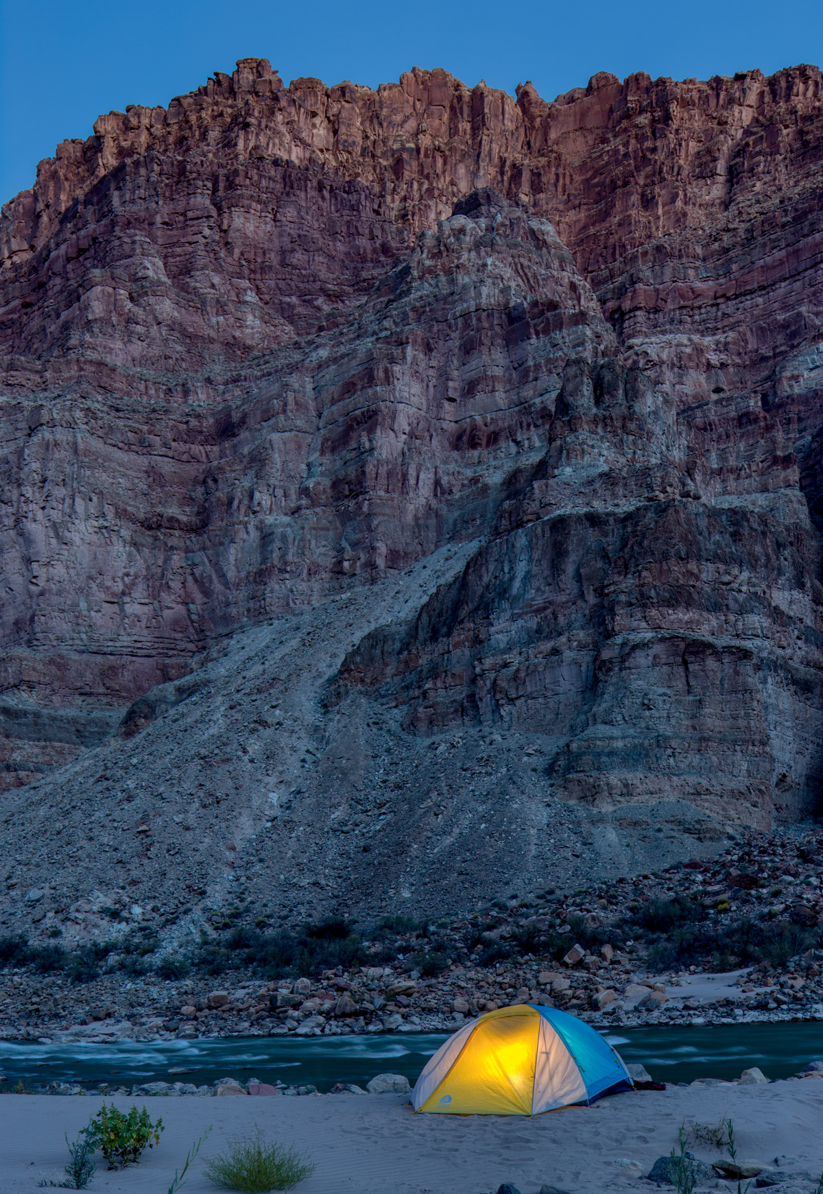
A riverside camp in Cataract Canyon.
DeHoff and I had guided Cataract together in the '90s, and he has since become a welder in Moab, where he designs customized rafting equipment. With a pair of friends, he launched the Returning Rapids project; its goal is to determine how many of the 26 rapids lost under Lake Powell the river can excavate from the mud—and when.
The famously silty Colorado has been called "too thick to drink, too thin to plow," and since Glen Canyon Dam was built in 1963, it has washed an estimated 200 million cubic meters of sediment into Lake Powell—enough to fill the Houston Astrodome 150 times. Almost all that sediment landed in Cataract Canyon. So far, eight of the river's rapids have reappeared as the reservoir has retreated.
The research and monitoring done by DeHoff and the other community scientists has attracted the attention of professional scientists. On that autumn trip, DeHoff was joined by eight hydrologists from the US Geological Survey, a geology professor from the University of Utah, a hydrologist from Utah State University, and an ecologist from the University of Colorado. They were eager to see what they could learn from the Returning Rapids project.
The research expedition was abuzz with activity. On day five, one USGS team clambered along the boulder-strewn shore to survey the riverbed's baseline elevation by setting up a pair of water gauges—one above and one below a rapid. Another group mapped the river bottom with an acoustic profiler, a sonar device floating on three orange pontoons. A third team was on a boat packed with sophisticated instruments, including a lidar array used to survey the river. "Three years ago, this was just a riffle," DeHoff said. "Now it's a legitimate rapid."
The USGS scientists were trying to assess how much sediment there is in Cataract and how quickly it is moving toward the reservoir. "In a watershed that serves 40 million people, it's good to know what's coming down the pipe," said the USGS's Scott Hynek, who strode around camp in denim Carhartt overalls and flip-flops. He and the geology professors took two days to map portions of the stratigraphy of the 80-foot-thick layer of sediment. Their findings—which they eventually published in a geology journal—will help scientists better understand how sedimentary rocks are created in shallow deltaic environments.
University of Colorado climate scientist and ecologist Seth Arens, meanwhile, was interested in how quickly the canyon's flora and fauna are returning. Surveying a few side canyons together, he and I cataloged invasive species like tamarisk and Russian thistle but also recorded plenty of natives, like coyote willow and winter fat and a few dogged seedlings of cottonwood, the verdant hallmark of Southwestern oases. In Dark Canyon, we found several freshly built beaver dams. "Changes to the landscape are usually negative," Arens said. "This is a positive—the return of a natural ecosystem."
Around the campfire, the conversation turned political: Is there hope for a restored Cataract? It's possible that officials could cap Lake Powell's water level so the canyon will never be flooded again, said Utah State professor Jack Schmidt. "Rapids and restored side canyons are a resource," he said, in the same way that Old Faithful and Half Dome are. So, too, are historical and sacred sites like the petroglyph panels, once again perched high above the rapids. Without the research DeHoff and his friends have spearheaded, he said, the bureaucrats in charge of reservoir operations would never know that the unflooded canyon has value.
For those of us who rode the rafts on that trip, the restored canyon certainly has value. Scouting one of Cataract's biggest rapids from shore a few days earlier, DeHoff had pointed out that "from here, you used to see houseboats anchored on the full reservoir." Now, a half-mile-long rapid named Imperial thunders around the corner, lined by boulders polished by centuries of current. Farther down the canyon are recovered classics like Short Rapid, the Chute, and Waterhole, just a couple of miles above Gypsum.
The river was returning to itself—and it was time for us to return to it. Excited for the ride, we piled into the rafts, slid oars into oarlocks, and slalomed our way through the breaking waves.
This article appeared in the Fall quarterly edition with the headline "Rapid Returns."
Rediscover a River
In the past 20 years, some 1,100 dams across the United States have been decommissioned. Here are three recovering rivers to visit.
Colorado River, Utah
Glen Canyon Dam still stands, but you can book a six-day Cataract Canyon trip with OARS to enjoy the Colorado's newly emerged roller coasters, like the Chute, and stroll up the emerald oasis of Dark Canyon.
Elwha River, Washington
The site of two of the largest dam removals, the 108-foot-high Elwha Dam in 2012 and the 210-foot-high Glines Canyon Dam in 2014, the Elwha is a test case for recovering salmon and steelhead populations. Take the seven-mile hike from Madison Creek Falls to the Glines Canyon Overlook.
Kennebec River, Maine
In 1999, the demolition of the Kennebec's 917-foot-wide Edwards Dam marked the first time a functioning hydroelectric dam had been removed in the United States. Since then, the annual number of river herring returning to spawn has jumped from 78,000 to 5.5 million.
 The Magazine of The Sierra Club
