An Outdoorsman Follows a Pipeline's Path Through the Wild
The Atlantic Coast Pipeline puts the environment and local communities at risk

Sunrise in Shenandoah National Park | Photos by by Tom Daly
I LIE ON AN OPEN STRIP OF MOUNTAINSIDE as the wind whips eastward. It's nearing 20 degrees, not long before sunrise, though my wristwatch stopped ticking at 6:30 the night before. My toes have numbed, and I'm probably trespassing. Beyond a ridgeline to the west, still obscured in the haze of this bitter November morning in Bath County, Virginia, is the likely future path of the Atlantic Coast Pipeline.
If it's approved, 300 miles of the pipeline will run through Virginia—the state I've called home for the better part of 10 years. In that time, I have returned many times to these Appalachian slopes to unfurl my sleeping bag, pack the mud of their trails into the soles of my boots, and take in the region's last traces of wild.
Pockets of the Blue Ridge and Shenandoah Mountains are as familiar and dear to me as my own backyard. They are the worn creases in my map: tracts of national forest where my pregnant wife and I camped, where our children first toddled. Where we all lay beneath the cedars and oaks in the coolness of late summer. Here I learned to backpack, to hang a bear bag, to start a fire in the rain. It's where I discovered a sense of belonging to the natural world.
In 2014, Dominion, in partnership with three other energy companies, announced plans to connect gas reserves in the Marcellus and Utica shale regions to gas-burning power plants in Virginia and North Carolina. The initial proposed route would have cut through the Cheat and Shenandoah Mountains, home to several endangered or at-risk species commonly found in the Monongahela, George Washington, and Jefferson National Forests: the Cheat Mountain and Cow Knob salamanders, the Virginia big-eared bat, and the West Virginia northern flying squirrel, among others.
The U.S. Forest Service's response to Dominion's original proposal cited the risks posed to "north-south ecosystem connectivity . . . important for building resilience to climate change impacts." The pipeline's path has undergone hundreds of route adjustments since then, but the mainstay of the project has remained a continuous easement across some of the most rugged and environmentally sensitive terrain in the central Appalachians.
"The Atlantic Coast Pipeline embodies all kinds of risks," says Lena Moffitt, the director of the Sierra Club's Beyond Dirty Fuels campaign. "It is exactly the wrong kind of investment that we need to be making in this country." The Sierra Club has long opposed the project because of the likely effects on core forest and threatened and endangered species, silting and erosion control, and, ultimately, the climate. "Making the kinds of investments that would lock us into expanded fossil fuel reliance over the next several decades is irresponsible."
I pull from my pocket a grainy printout of the pipeline's route from Dominion's own website. For now, it is little more than a line on a map, running some 600 miles from West Virginia to North Carolina like a jagged scar.
I nestle back into my bivy and peer along the edge of the George Washington and Jefferson National Forests. I want to see these mountains beyond their topographical contours, ford the streams that meander like veins through my map's two-dimensional valleys, walk under the trees painted in dull green like spilled ink.
I want to put Dominion's pipeline to the test and see for myself what's at stake—to follow a trail through the national forest unmarked by boot prints or regular blazes. It's a path that doesn't yet exist, but I'm going to follow it.

Rick Webb, an environmental researcher and former scientist at the University of Virginia
LAST OCTOBER, HUNCHED OVER MAPS strewn across the tabletop, I planned a series of hikes along the Atlantic Coast Pipeline's future path as it cuts through Virginia's national forest—16 miles in total. I squinted at the wayward lines, trying to make sense of the patchwork boundaries between public and private property, the noncontiguous swaths of the George Washington and Jefferson National Forests, and Dominion's route variations.
For the first hike, I drove to Nelson County and camped just off the Appalachian Trail, the 2,200-mile footpath stretching from Maine to Georgia. Dusk painted the mountain ridges violet and azure, reminding me why they were christened the Blue Ridge. I imagined the pipeline worming down the slopes, unable to picture what hue the easement would take at twilight.
In the morning, I found myself standing at the forest's edge and looked eastward. Behind me, the Blue Ridge Parkway strayed to the southwest, ferrying motorists along one of the most scenic corridors in the Appalachian highlands. I followed a line that snaked through a ravine and laced past the entrance to Wintergreen, a small resort that's been in operation for over 40 years.
That line, according to Dominion, wouldn't actually follow the contour of the mountains—it would drill under them. Dominion's current plans include tunneling under the Blue Ridge Parkway and the Appalachian Trail, requiring a special permit from both the U.S. Forest and the National Park Services.
A few hours later, David Schwiesow, a resident of Wintergreen's Piney Mountain neighborhood, found me wandering near his property just after my climb up Piney's steep western face. He stopped his car, listening as I explained the purpose of my hike.
"Do you want me to show you where the pipeline is supposed to come up the mountain and cross the property?" Schwiesow asked. He was middle-aged and slight, with rounded features. We drove back up the road and stopped close to where I'd summited.
"That's about 2,100 feet," Schwiesow told me, referring to the length of the pipeline's route from the Wintergreen entrance to where we were standing. "They estimate 7,000 trees that'll be cut. Just gone."
We peered down into the forest as I tried to imagine how the picturesque neighborhood would look with a 150-foot-wide clearcut, nearly half a football field, through the trees. On the other side was the slope I'd ascended—mostly bare rock, low escarpments, and traces of mountain laurel and locust trees that I'd used to haul myself up.
"It'll come through right there," Schwiesow said, indicating a grassy swath where nothing had ever been built. "If something blows [when the pipeline is operational], everything within a 1,100-foot radius of the blast would be incinerated."

A map of the proposed route for the Atlantic Coast Pipeline
We eyed his house a few hundred feet away. When I questioned the legality of Dominion's seizing private property against the wishes of a landowner, Schwiesow scoffed. He told me that he was fighting the pipeline route—-both as an affected landowner and as a Stanford-educated lawyer—along with a local group that he'd cofounded called Friends of Wintergreen. "Unfortunately, there is precedent," he said.
He's right. Corporations can use eminent domain law to seize private property from landowners who refuse to sell to them. Businesses ranging from Walmart to the Trump Organization have taken advantage of the law, arguing for corporate profit under the guise of economic development. And they usually win.
As the day wore on, my trek grew more difficult. Thickets of mountain laurel slowed me to a near crawl. Uneven rock and overgrown gullies left me unsteady. I found myself negotiating that strange marriage between beautiful landscape and impractical topography, between the pleasure of admiring an expanse of wilderness and the pain of moving through it. The pipeline, too, would somehow have to address both.
I emerged onto a gravel road adjacent to a small farm and stood in the shadow of a ridge that issued east-west from Bryant Mountain. Somewhere along that continuous peak, the pipeline would run through the bound of the national forest and bisect private land all the way to North Carolina.
I noticed a man loading a truck and walked over, the now creased and blotted Atlantic Coast Pipeline printout in hand.
"You're on the right track, but not according to your map," he said. He was lean, a Virginia drawl dressing each of his words. "You see that pine tree that stands above all the others, the only one that isn't green? It's deader than a hammer."
I followed his line of sight to the top of the ridge. "That's the edge of my property," he continued, "and where the pipeline was supposed to go, but Dominion keeps changing the route."
I had stumbled onto another variation. He penciled the correction onto my map. Dominion was now planning to carry the pipeline down the channel that I had followed and into an unwooded corner of his property, into the Rockfish Valley. His son, maybe eight, stood silently behind him as we spoke, holding a toy truck.
"Whatever happens," he said with resignation, "it's gonna be a mess."

Bill and Lynn Limbert walk their property near the western edge of the George Washington and Jefferson National Forests. This swatch of virgin timber lies in the pipeline's path.
THAT MAY BE AN understatement, according to those who have been studying the potential impacts of the project since it was announced.
"This pipeline crosses some of the best remaining wild landscape in the eastern United States, right through the most intact section of the central Appalachian mountain region," says Rick Webb, an environmental researcher and former senior scientist at the University of Virginia. "It crosses karst valleys with sensitive and easily damaged hydrologic systems, the mountainsides are very subject to erosion, [and] there's a high landslide potential for much of the route."
Last December, the Federal Energy Regulatory Commission (FERC) released its long-awaited draft environmental impact statement (DEIS), bringing the pipeline closer to federal approval. Webb is both highly critical of and unsurprised by the statement's conspicuous lack of detail. "It's remarkably deficient," he says, "when it comes to addressing issues related to the water, erosion, sedimentation, karst, and landslides."
Webb serves as the program coordinator for the Dominion Pipeline Monitoring Coalition, an assemblage of regional conservation groups. "Our efforts are geared toward providing missing information to these other agencies that are [supposed to be] informed by the DEIS."
FERC is expected to release the finalized environmental impact statement in June. But the project can't break ground until other local, state, and federal agencies grant permission as well, including the Forest Service.
In order for Dominion to cut a brand-new corridor, the management plans for the George Washington, Jefferson, and Monongahela National Forests would have to be amended. Add the special-use permit needed to drill beneath the Appalachian Trail, and the fate of Dominion's pipeline is tied, for better or worse, to national forest land.
IN THE WEEKS THAT FOLLOWED that maiden hike, I drove along the pipeline's route through the Calfpasture Valley, hiked just north of its curve near Ramsey's Draft, and camped with my family where it would cross the double-track trail to Braley Pond. By November, I was ready to set out once more on foot and follow the pipeline's longest contiguous path through George Washington National Forest.
On a map, I stuck a new pin 50 miles west of where I'd begun, choosing a segment between Hankey Mountain and the Jennings Branch River in Augusta County.
This time I found the route marked by pink surveyor ribbons, each tied to a low branch and pulled taut by a broken twig knotted at the bottom. I followed the line through a thin strip of forest dotted with hemlock, rounded a nearby farm field, and stopped to face a peak that rose above me at a near-vertical slant.
Tacking up on all fours, I eventually reached the top and found myself looking into another valley with slopes just as steep. I paused at the bottom of what felt like a bowl hewn from the mountain, my perspective minimized, the sun now hidden—giving me the eerie impression that I'd stepped directly from morning into late afternoon.
The pattern of crests and troughs continued, the slopes falling headlong into hollows and then rearing back up again. Surveyor ribbons turned to blue as they dissected the streams that all seemed to amble south toward the Jennings Branch River.
As the day drew to a close, I stumbled onto a state road near the national forest border and peered back into the brush that had noticeably thickened at the forest's fringe. It's known as the "edge effect" and is the unavoidable result of human interaction with adjacent land.
Critics of Dominion's proposal to cut an entirely new corridor through the region see this as a major concern, citing the almost certain introduction of non-native plant species like Ailanthus altissima and kudzu, to the detriment of fauna whose livelihood depends on dense canopy and sparse undergrowth.
In his book The Wild Places, Robert Macfarlane writes of the distinction between grid maps and story maps, between the objective images of landscape flattened into two dimensions—into grid lines and relative distances—and the older story maps, those represented by "a place as it is perceived by an individual or by a culture moving through it." I unfolded that tattered printout for the last time, tracing the route from one side of the national forest to the other. What Dominion may see there is just an unbroken line that leads to new markets and more profit. I wondered if the company also sees the stories of the land—and of the communities—through which that line would pass. These are the stories told from one generation to the next, handed down through narrative and experience, through the captured images of the landscape, bound, chapter by chapter, for the rest of us to discover.
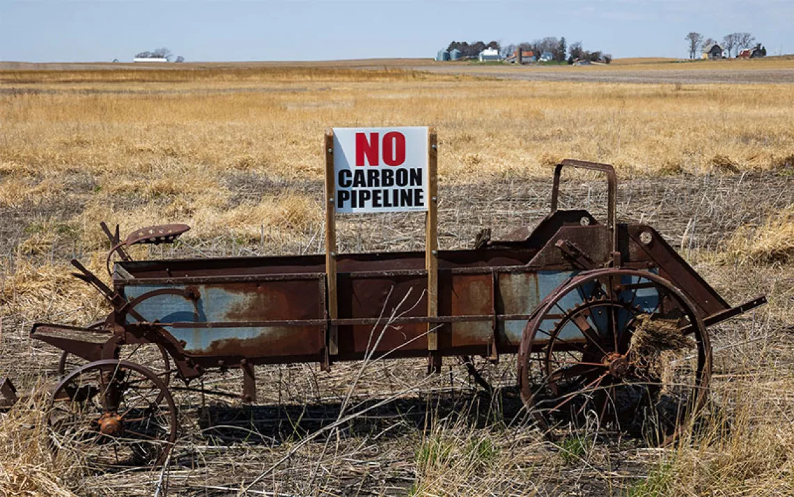
As I crossed the border of the national forest on my way home, I passed several "No Pipeline" signs. I wondered if the decision-makers at Dominion had ever experienced this same sense of place, this sense of the land beyond what that grainy printout suggests. If they had, they might have chosen to draw the Atlantic Coast Pipeline map a little differently. Or they might have decided not to draw it at all.
This article appeared in the May/June 2017 edition with the headline "A Pipeline Runs Through It."
 The Magazine of The Sierra Club


