by Ed Maurer
Almost 1,100 years ago, Bishop Godescalc set out from Le-Puy-en-Velay in France to Santiago de Compostela in Spain, making him the first recorded long distance “through hiker” along what we now call the Camino. He encountered hardships and experienced foreign lands and cultures, just like the hiker today who follows Europe’s legendary long-distance trails. These 12 waymarked routes are magnets for hiking aficionados with plenty of time. They range in length from 2,880 km / 1,790 mi. to 6,950 km / 4,4320 mi. The website of the European Ramblers Association has general information about these trails.
If these trails seem daunting, you’re not alone, and many hikers choose scenic sections of a trail and follow it for a week or two. Especially in western Europe, the paths are serviced by an extensive infrastructure for hikers that includes lodging, restaurants, shops, luggage transportation, and more. Helen and I have hiked along sections of these routes in France, Germany, Greece, Spain and Switzerland, and some impressions follow.
Via Podiensis (Camino) in France

Signs at the start of the Via Podiensis in Le-Puy-en-Velay, France. ©Helen Maurer
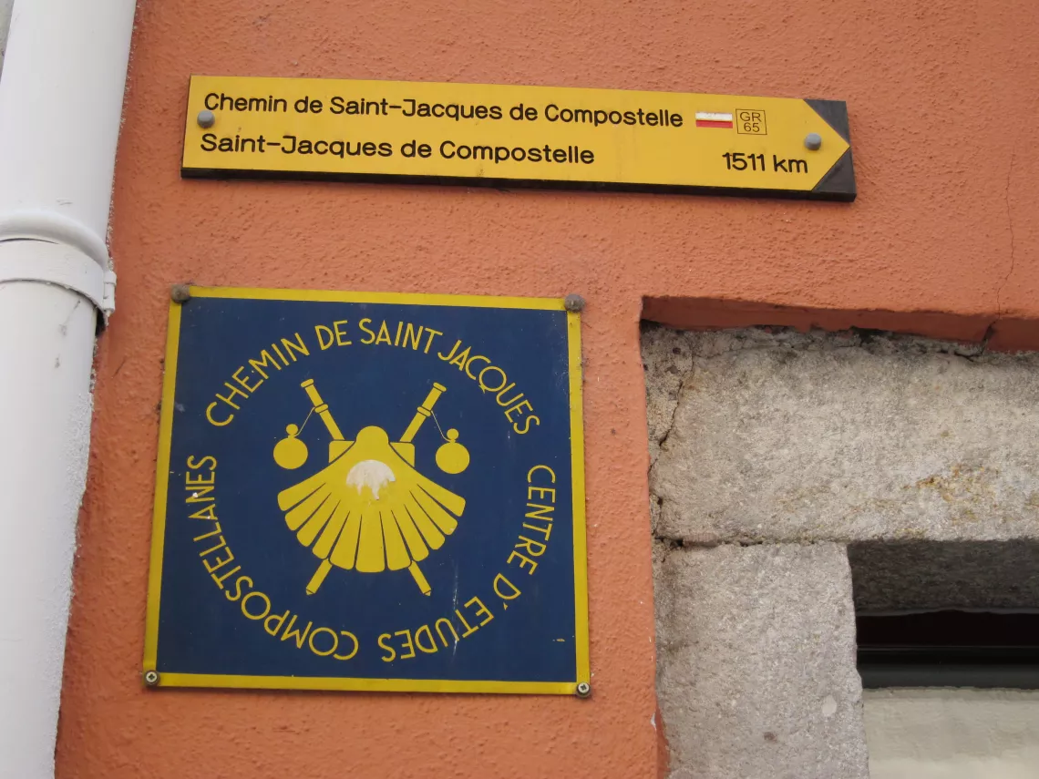
What Americans refer to as “the Camino” is known in Britain as the Way of St. James, in France as le chemin St. Jacques, and in Germany as der Jakobsweg. Over a millennium, these routes have been so much a part of the fabric of Europe that they have gained the protection and recognition of the European Union.
Just like medieval pilgrims, Helen and I began our journey toward Santiago by starting out from my hometown. Hiking the route bit by bit we finally arrived in Santiago de Compostela a few years later. The stretch we liked best and have walked repeatedly begins in Le-Puy-en-Velay in France’s Massif Central and ends in Cahors. The route partially follows where medieval pilgrims walked, from the stark and sparsely populated highlands down to the lush valleys of the Midi and the south of France, from vast pine forests to olive groves, from isolated hamlets and fortified farms to lively riverside cities. And what we enjoyed most was the camaraderie of the hikers, all walking in the same direction – toward Santiago – and those moving at the same pace often form groups that share the experience of walking 10 – 12 miles every day with those that proceed at the same pace.
Once you get a taste of this trail, your motto may quickly become plus ultra (far/further beyond) and you’ll follow it all the way to the Spanish border near Saint-Jean-Pied-de-Port (472 miles) and then all the way to Santiago de Compostela, another 520 miles.
Trans Swiss Trail
The very first "bridge" across the Rhine near the Gotthard Pass. ©Helen Maurer
This is a great way to cross the Alps and the entire country from north to south. The marked trail takes over 30 days, but our version takes about 2 weeks. It begins in Porrentruy on the French border from where we hike over the Jura Mountains to the lakes below its southeastern slopes. Next are the gentle hills of the Emmental where the famous Swiss cheese comes from. After a short cruise on the Lake of Lucerne we climb toward the Gotthard Pass, a route dating back to mule track days. After crossing the pass, a continental and cultural divide, we find ourselves in Italian-speaking Switzerland to complete our journey with palm trees, delightful little villages, and lakeside resorts.
Along the Libyan Sea on Crete (Greece)
Looking down to the Libyan Sea. ©Helen Maurer
What’s not to love about the south coast of the Greek island of Crete? Mass tourism has not yet arrived here, and towns and villages still warmly welcome visitors. The landscape is spectacularly wild, the beaches fantastic, and the trail challenging – an unbeatable combination! The entire E4 section on Crete is about 500 km / 300 mi. long, and it takes at least a month to cover its distance and difficult terrain.
We started our 2 week stay on Crete with some sightseeing on the north coast cities of Heraklion and Chania and then took the public bus across the mountains to the old town of Paleochora. From there we followed the E4 long distance trail to Chora Sfakion. The trail often hugs a steep escarpment and, on some days, veers off into dramatic, narrow gorges. Since there’s no coastal road, our bags followed us by ferry boat. Accommodation was simple, the food delicious, and we couldn’t help but make return trips to this great, remote place.
The Rheinsteig in Germany
Magic scene along the Rheinsteig tr©Helen Maurerail.
Explore the most scenic section of the Rhine with its castles and vineyards overlooking the busy river on the long-distance Rheinsteig trail. The complete 320 km / 200 mi. itinerary begins in Wiesbaden and ends near Cologne, and we have hiked the best part of the Rheinsteig from near Wiesbaden to Koblenz. The well-marked and documented trail passes through vineyards, leads to ancient castles, and stops in riverside villages. There are plenty of ups and downs to make an even less than 10 mi. stretch exhausting. Restaurants serving traditional fare are plentiful, and accommodation along the way ranges from youth hostels to elegant castle hotels. A full day Rhine cruise returns hikers to their starting point.
Independent and adventurous travelers are fine to follow any of these trails on their own, albeit only after proper preparation. Those wishing to travel with a hiking group where everything is arranged in advance will find a number of hiking tours offered by the Sierra Club. In addition, there are now many tour companies that offer hiking trips.